The Disconnect: New York City’s Bike Lanes Remain Far Short Of A Network
It’s the connectivity, stupid.
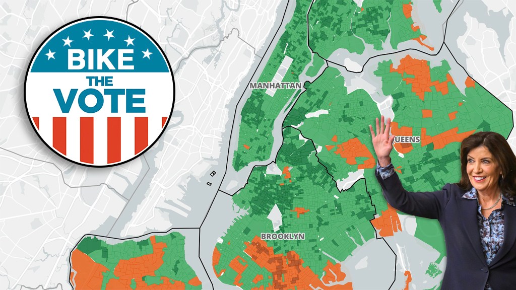
New York City’s bike lanes routinely failed to link up with one another, and often dump cyclists onto unprotected paths, according to a new visualization of “connectivity” that reveals how far Mayor Mamdani still has to go to realize his promise to make the Big Apple’s streets the “envy of the world.”
Under city law, the Department of Transportation must log the number of “turn choices” available to cyclists when they are on bike routes and want to head in a different direction without leaving the cycling network. The agency does not have to publish connectivity stats until 2028, so one advocate took it upon himself to map out the interconnectivity using the city’s own data.
The number of “turn choices” is a slightly abstract concept, but not a new one; the Bloomberg administration believed “connectivity” was a key metric, beyond mere mileage, for showing how well its network was spreading.
The connectivity index basically shows how many options cyclists have to stay within a safe network, said Jehiah Czebotar, the street safety activist who mapped it.
“It’s the difference between having the bike lane for the majority of it, or whether, as soon as you make a turn, you’re on your own,” said Jehiah Czebotar, a street safety activist behind the map. “It gets to whether or not you can get to where you need to go.”
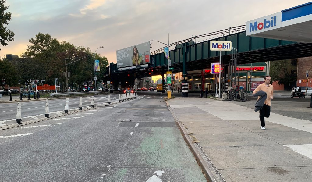
For example, Ocean Parkway in Brooklyn has a nearly five-mile protected cycle path, but it scores low on connectivity, because for much of its length no protected bike lanes intersect it. Adding more connections would also encourage more ridership because cyclists don’t have to ride on treacherous streets without safe infrastructure to get to routes like Ocean Parkway.
On a citywide scale, Czebotar’s map visualizes how there’s a relatively dense network of protected bike lanes and safe greenways in Manhattan — mostly south of 110th Street — while across the city, the protected lanes or greenways just terminate or don’t connect to much else. The more bike lanes that intersect with other bike lanes, the more “connectivity.”
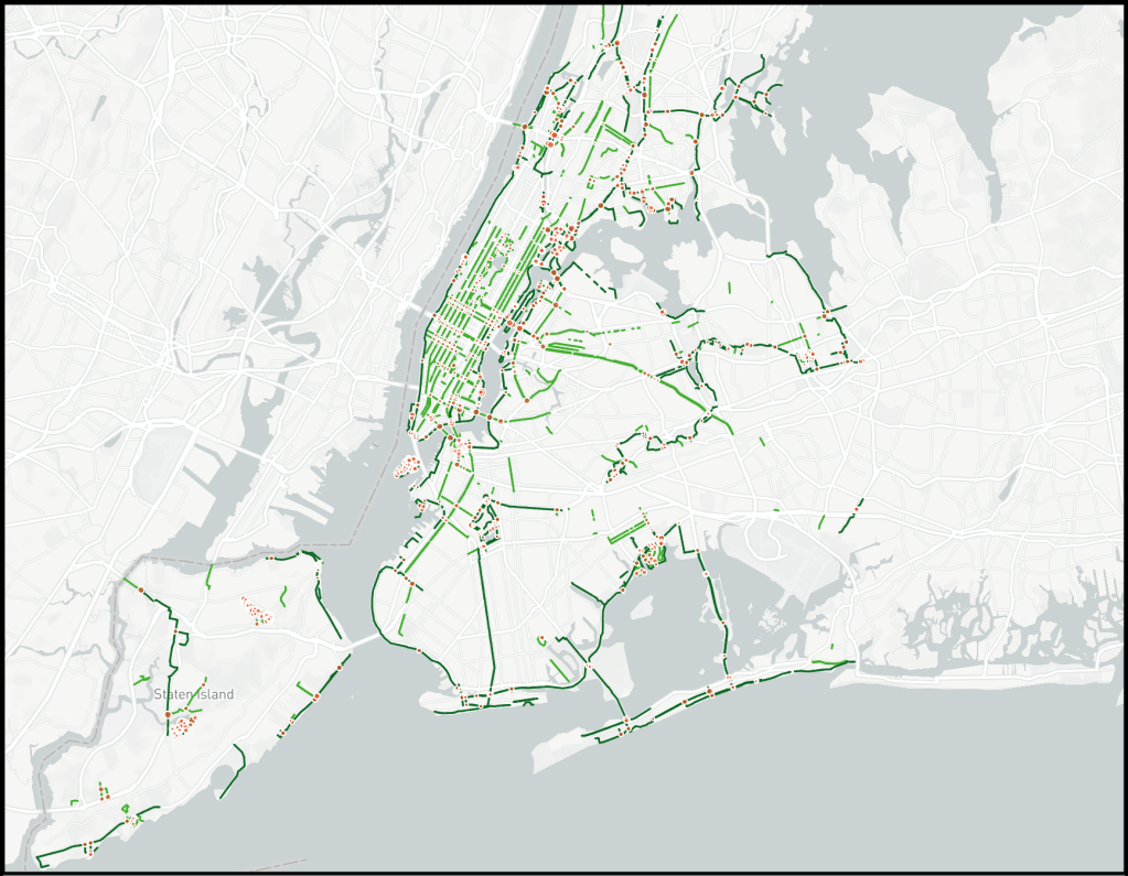
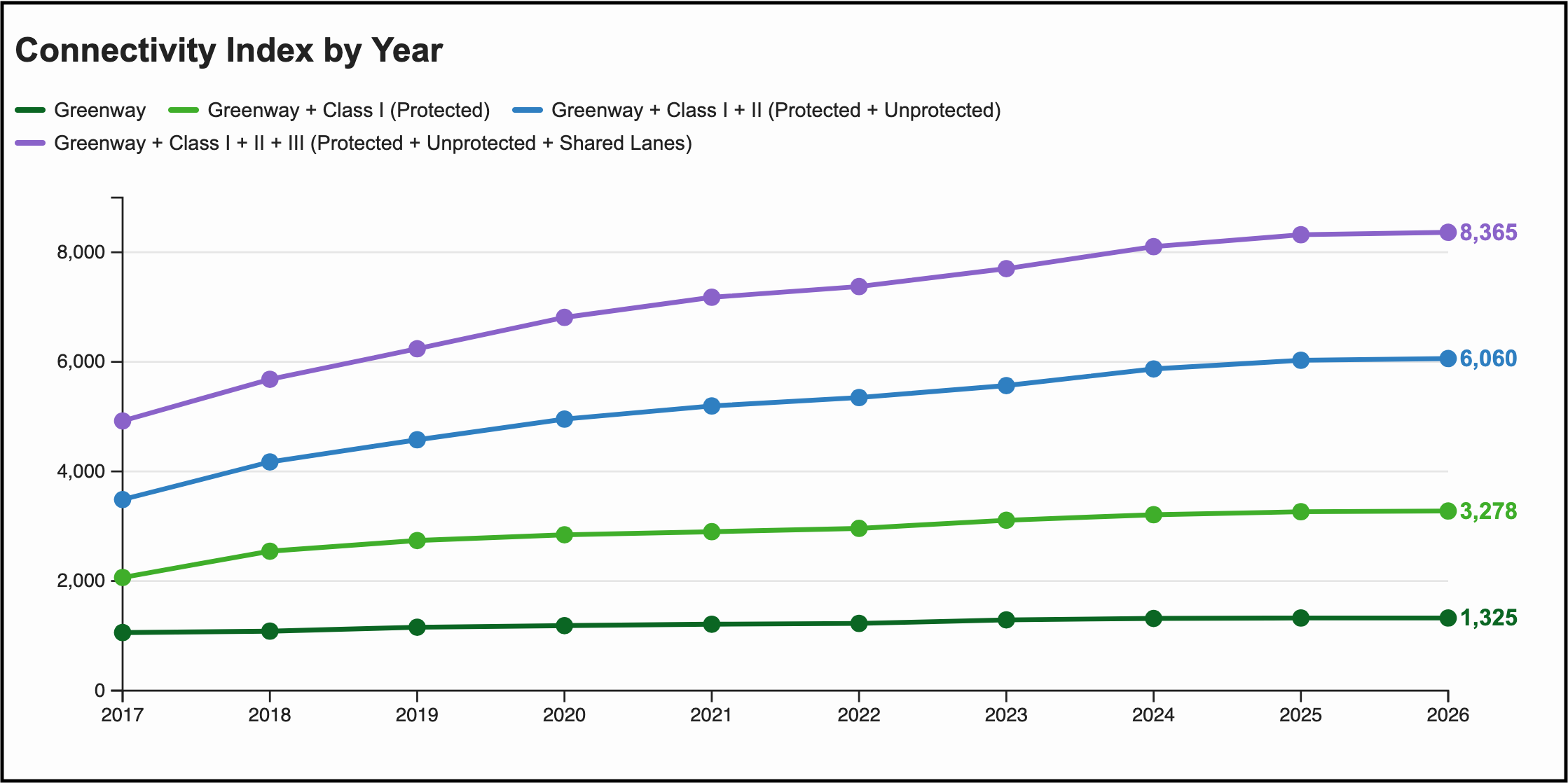
The city has steadily been increasing its turning options over the last nine years, Czebotar found, but mostly on unprotected paths. When it comes to protected paths, Manhattan has a plurality of connections at 37 percent of turning choices. In the other boroughs the protected network becomes far more anemic, with corridors that connect to few other safe cycling routes for much of their length.
Czebotar tallied a total 8,365 turn choices for cyclists across 2,758 intersections, out of the city’s roughly 40,000 total junctions. At the ground level, say, if two bike paths meet, that offers a cyclist four turn choices — eight if both lanes go in both directions.
DOT continues to build bike lanes without good connections to the existing network, and has not touched long-existing spines of protected paths, like Queens Boulevard and many of the greenways at the further reaches of the city.
“Even in 2026, DOT has a habit of building stub bike lanes,” said safe streets advocate Jon Orcutt, who directed policy at the Department of Transportation during the Bloomberg and part of the de Blasio administrations. “It sort of leaves cyclists hung out to dry in many parts of the city.”
And since police have pulled back on traffic enforcement, unprotected bike lanes are largely useless because they are filled with illegally parked drivers, Orcutt added.
“In a city that does zero traffic enforcement on bike lanes the Class II [unprotected paths] just don’t really count,” he said.
The former city transportation official said that DOT has made strides in recent years in politically friendly territory, like Astoria, Queens.
Orcutt lobbied former Council Speaker Corey Johnson to include mandates for connectivity in the 2019 Streets Master Plan, so as to add a metric beyond just annual mileage requirements for new paths.
But for unknown reasons, the Council wrote the law so that DOT won’t have to report those until 2028, almost a decade after the law passed. Other mandates, such as a mileage guideline for protected bus and bike lanes, kicked in in 2022, but the agency has repeatedly failed to meet those legal benchmarks.
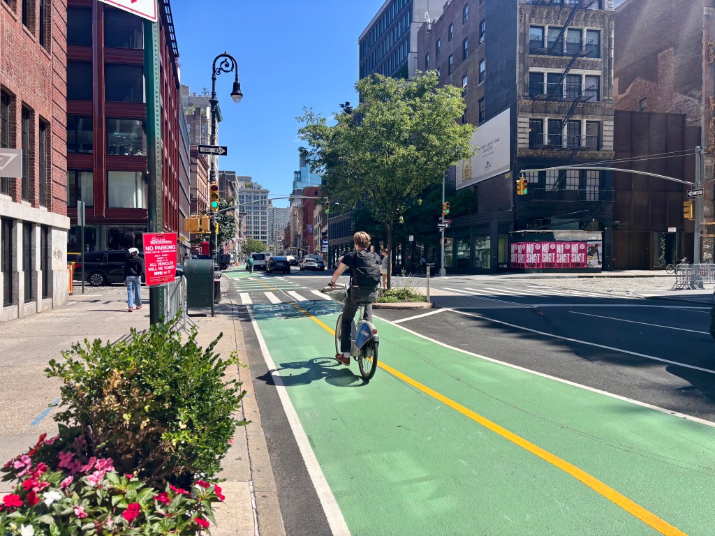
The city actually used to publish a bike connectivity index in the annual Mayor’s Management Report as a “critical indicator” with annual targets during the later years of the Bloomberg administration, between 2008–2013. But the city stopped releasing the stat upon the ascension of Mayor Bill de Blasio in 2014.
Experts across the globe have long beat the drum that building a bikeable city relies on a network — as opposed to paths that don’t connect to anything else.
Transportation planners in other cities have successfully used that approach to maximize the number of people switching to cycling, including in the Netherlands in the 1970s, or Paris over the last decade.
“You really need to expand the network, because, of course, you need a good network to attract as many clients as possible,” Charlotte Guth, former head of cycling programs for Paris, said at a recent panel discussion in New York City about building a “bike city.”
A spokesperson for DOT said officials plan to emphasize safe connections in the upcoming annual update to the Streets Plan, due on Dec. 1. However, the rep also said focusing on connections alone would put more bike lanes close to existing paths, rather than prioritizing expanding the lanes further geographically.
“We want more New Yorkers to bike because it’s a safe and efficient way to get around — and we know the best way to encourage people to do so is to provide access to nearby street infrastructure that makes them feel safe,” DOT spokesperson Vin Barone said in a statement. “This will be a key goal detailed in our upcoming Streets Plan and we look forward to sharing more very soon.”