Friday Video: How Robert Moses Cut Through Brooklyn And Queens
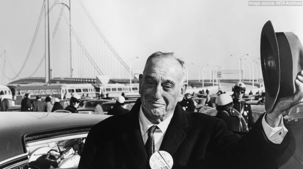
The lasting effects of Robert Moses’s Brooklyn–Queens Expressway can best be understood by going back in time to what the thriving outer-borough neighborhoods looked like before the infamous power broker carved them up to speed drivers through. A mini-documentary by Adam Paul Susaneck of Segregation by Design uses striking visual comparison to remind viewers what was lost to realize Moses’s car-dominant vision, and what remains today.
Relying heavily on the juxtaposition of archival and present-day aerial photography combined with simple graphics, Susaneck gives the viewer a clear-as-day picture of how highways cut through communities. Susaneck’s instagram account, Segragation by Design, is filled with videos that document the damage of highways all across the country.
But the documentary goes further, interweaving oral histories from people affected by the highway, plus interviews with historians. The film centers the story of the BQE within the larger history of New York City and shows how the legacy of the 35-mile long highway is still hurting families today.

Read More:
Streetsblog has migrated to a new comment system. New commenters can register directly in the comments section of any article. Returning commenters: your previous comments and display name have been preserved, but you'll need to reclaim your account by clicking "Forgot your password?" on the sign-in form, entering your email, and following the verification link to set a new password — this is required because passwords could not be carried over during the migration. For questions, contact tips@streetsblog.org.