The increase in residential development in formerly industrial areas combined with an e-commerce explosion is angering residents who live along truck routes that haven't been re-mapped since the 1970s.
That anger is part of the city's latest outreach effort — a feedback map of the five boroughs that received over 2,000 public comments ahead of a City Council-mandated redesign of the 50-year-old web of truck routes through many increasingly populated areas.
"Since after Covid, commercial trucks have been terrorizing residential neighborhoods, releasing toxins in the atmosphere which affects air quality," one Queens commenter posted on the map. "In a time with NYC is planning to reduce its carbon foot print, our community is experiencing the opposite."
Comments on Department of Transportation's Truck Route Network Redesign feedback map show strong anxiety about basic safety. Around 36 percent of comments mentioned conflicts between trucks and pedestrians or between trucks and cyclists, while others mentioned environmental concerns or recklessness.
“Difficult to select one comment type,” one user wrote at Metropolitan Avenue in Brooklyn near an elementary school. “At this intersection and along Metropolitan Avenue, I often see speeding trucks, oversize trucks, truck-pedestrian conflicts, and truck-bicycle conflicts.”
“Just trying to get my morning bagel and there's trucks blocking the intersection or running a red. Every single morning,” added another user further east on Metropolitan Avenue.
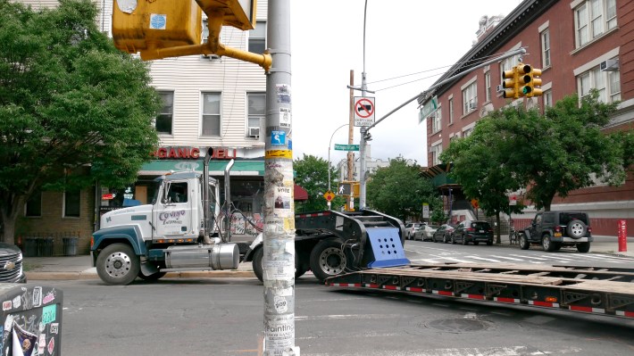
Many of the comments were concentrated in Brooklyn neighborhoods that have transitioned from fully industrial to a mix of industry and residential since the routes were initially set. But the reality is that people don't want trucks near their homes, even as everybody relies on freight.
"Just like any other part of the transportation system, [truck routes] should be updated," said Tiffany-Ann Taylor, a former official in the city DOT's Freight Mobility Unit who's now a vice president at Regional Plan Association. "In tandem, we should also be trying our best to understand how we can reduce our reliance on moving goods into and through the city via truck. The problem is that no one wants truck routes in their neighborhoods, but we all want stuff to get to us."
Why a new map?
The comments left on the map are the first step in the process of redesigning the network. New Yorkers were able to add incidents to the map where there was a conflict with a truck and pedestrian, a conflict with a truck and a cyclist, missing signage, speeding trucks, and about a dozen other common gripes about big rigs. The online portal requires internet access and can be difficult for less tech-savvy users.
"I was delighted that DOT could easily acknowledge that this was something we needed to address and was way overdue," said Council Member Alexa Avilés, who introduced the 2023 law requiring the city to redesign the truck route map to “enhance safety ... and reduce vehicle miles traveled.”
"But this portal has not been easy. It's a very passive kind of engagement, that can't be the only form of engagement, if we're really talking about getting the most comprehensive view of things. Putting something on Twitter is not community engagement."
The map was launched on May 3 and DOT extended the original feedback deadline from June 30 to July 31 based on the recommendation of the Environmental Justice groups who wanted more time for public feedback. The lack of feedback in Staten Island and sparse feedback in the Bronx is surprising given the fact that Hunts Point in the Bronx is a major food-distribution center and Staten Island has many through truck routes.
“The truck route network is essential for connecting commercial vehicles to major freight hubs, and we are undergoing a thorough process to develop a modern redesign,” said Mona Bruno, a DOT spokesperson. “Public input is important, and [it's] why DOT has informed every elected official and community board member of our feedback portal — and extended the deadline for responses. This portal is just one data point the agency will use to inform the redesign.”
The number of comments is surprisingly low for something that affects the entire city, suggesting a lack of engagement with the public by the transportation department. Streetsblog contacted community boards in Staten Island and the South Bronx, and several officials responded that the DOT never made a presentation or followed up its initial email about the map.
“It's great that there's almost 2,000 comments, but it's very clear that there is not enough public engagement from DOT,” Kevin Garcia, senior transportation planner with Environmental Justice Alliance, told Streetsblog. “We see that with the small number of comments out of the Bronx, southeast and eastern Queens, and also Staten Island.”
The truck onslaught
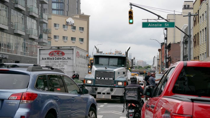
Trucks bring around 90 percent of all goods into the five boroughs, according to the DOT. The “Truck Route Network” has Local Truck Routes (i.e. when a truck is making deliveries in a borough, loading, or servicing) and Through Truck Routes, which are for trucks passing through the city.
Avilés said she was inspired to introduce the legislation after constituents complained of an increase in truck volumes in Red Hook and Sunset Park due to the proliferation of "last mile" warehouses, or distribution centers, where large trucks delivering goods for companies like Amazon make their first stop before the items get transported throughout the five boroughs in smaller vehicles.
"Amazingly enough, our truck route hadn't been touched for over 30 years. That just doesn't make any sense given how much has changed," Avilés told Streetsblog.
Each year around 365 million tons of freight moves through the New York City area ushering in an age of convenience while giving rise to a set of complex challenges. Last mile warehouses began popping up in manufacturing areas and "opportunity zones," designated areas that come with federal tax cuts meant to boost business, when e-commerce became more popular during the pandemic. The portal reflects these new frustrations.
"A portal like this is very helpful, but it absolutely has its limitations," said Taylor. "In some neighborhoods, the pandemic really showed folks truck traffic that they had never seen before."
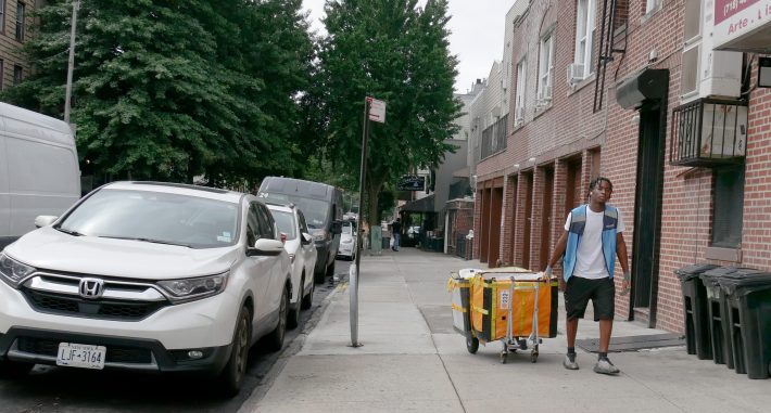
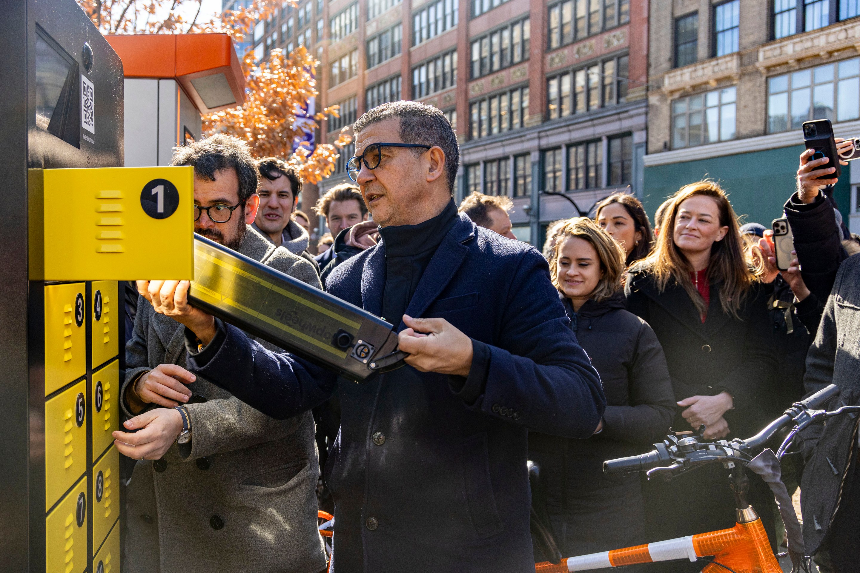
Redesigning the city’s dated route network is just one step towards bringing the city’s freight system into the future. The real challenge is getting trucks off the road and prioritizing the waterways and micro-mobility options for “last-mile” deliveries, or the final step for an item to get to its destination. The DOT is piloting “microhubs” to test out more sustainable last-mile delivery modes.
Enforcement of truck routes is also an issue, especially since truck drivers are legally allowed to leave local routes if they are making a delivery. The NYPD issued 445 summonses in the first five months of 2024 to trucks outside of the designated routes, fewer than three per day in a city with literally hundreds of thousands of trucks moving around every day.
"It's easy to draw a line on a map and say this is the closest route from point A to point B, but you have to actually look at the physical design of that route and make sure that it is appropriate," said Jim Wright, an architect and the advocacy director of the American Institute of Architects' New York's transportation and infrastructure committee. "If the truck route is not designed properly and it's not in the right place, the trucks are going to go off the route, it's a reality, they're in business and their business is to deliver goods from one place to another."
Justice or just us?
Communities in the city's manufacturing zones have long dealt with the negative effects of truck pollution. Given the name "environmental justice communities," places like Hunts Point in the Bronx, Red Hook in Brooklyn, and Maspeth in Queens are fighting for changes in the city’s freight ecosystem.
“An environmental justice community is a community that's at the frontline of any environmental crisis or disaster and that has historically experienced these injustices,” Garcia told Streetsblog. “Deliveries that we need shouldn't come at the expense of the neighborhoods that essentially are becoming sacrifice zones.”
Dealing with increased freight volumes has been an ongoing problem for the Transportation Department.
“To give you an idea of how long this has been an issue, when I started in the Transportation Department in 2007 one of the first questions we asked was, ‘Can we do something about the trucks?’” said Margaret Newman, an architect and planner and former chief of staff of the DOT.
The American Institute of Architects' 2022 report, Delivering The Goods, explores different scenarios for last mile improvements in the city and outlines the way that the last mile affects vulnerable environmental justice communities.
"As freight moves through city neighborhoods so do its impacts, often in ways that are distributed unevenly. In many cases, the weight of freight falls disproportionately on disadvantaged and vulnerable communities," reads the report.
A rise in e-commerce has brought the focus to the last mile. Now, the majority of freight goods have to get to New Yorker’s front doors, making the journey from last mile distribution a potential area to utilize new technology. Companies like Amazon have created their own methods of getting these goods to consumers as fast as possible, but the city has not necessarily kept up.
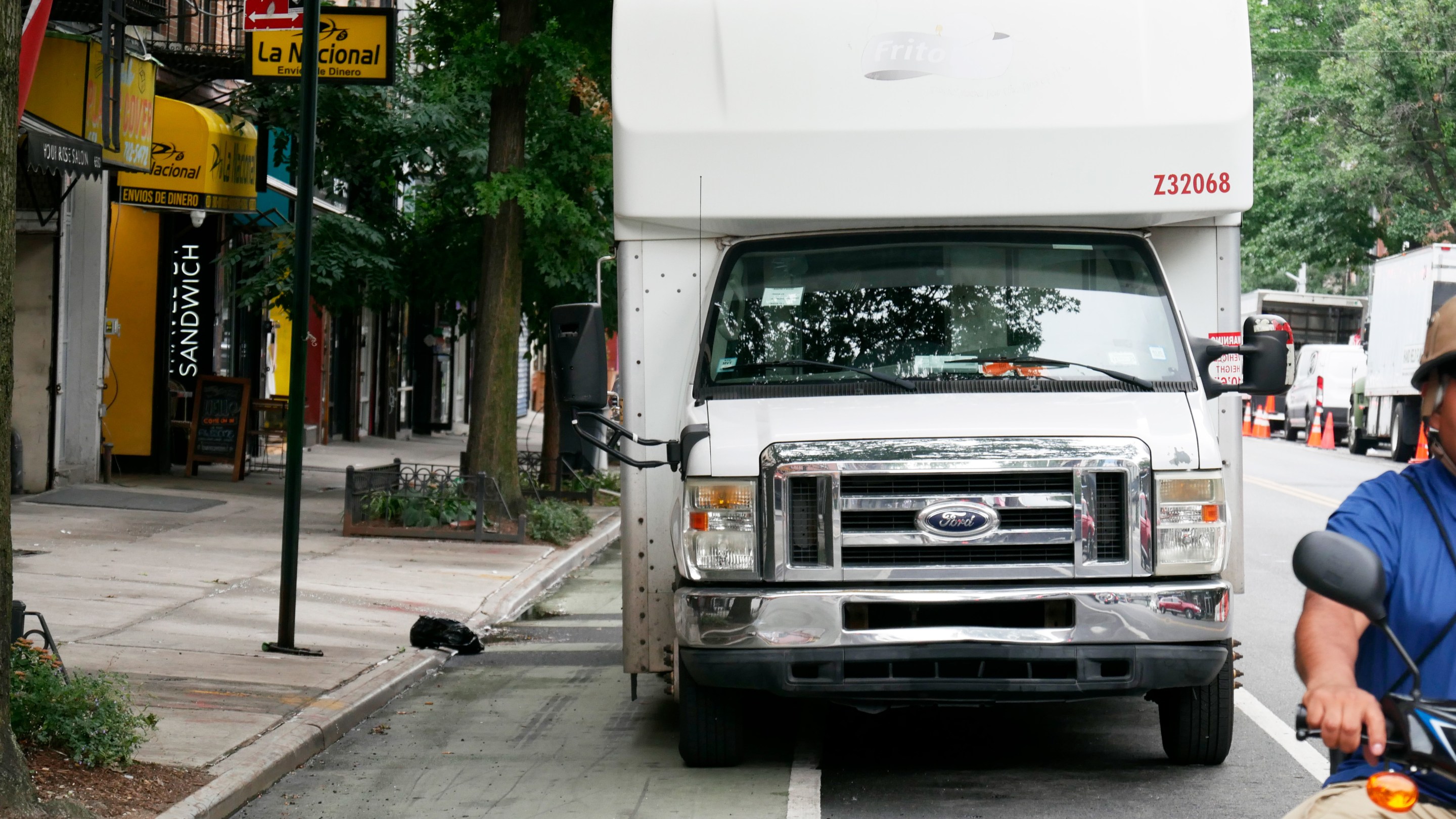
“In order to bring stuff into New York City proper, you need to have different vehicles. Amazon, UPS and FedEx have come up with these de facto workarounds where they drive vans or the smaller panel trucks, park them in the neighborhood, and use the sidewalk or the bike lane, or park to sort their packages and then deliver them locally, sometimes literally by hand truck,” said Newman.
In addition to the microhubs the city has piloted off-hour delivery programs. In April DOT Commissioner Ydanis Rodríguez announced that the agency would invest $11 million to fund off-hour delivery programs (though half of that funding was supposed to come from congestion pricing, which is now on hold).
The City of Yes for Economic Opportunity passed through the City Council in May. The zoning change led to a commitment from the mayor to regulate last-mile warehouses to keep them from concentrating in certain areas. The city's "Blue Highways" initiative has $5 million in federal funding to renovate six city piers starting in 2025. Many of these tactics were outlined in the city's Smart Truck Management Plan, which was released in 2021.
"It might feel like there's all these one-off projects happening, there's all these pilots. But that's not what's going on, there has been strategic planning for years," said Taylor.
