Pols Detail ‘Road Map’ For Safe Streets in Western Queens
Western Queens neighborhoods must get a protected bike lane network, more pedestrian space, a ban on parking near intersections and more — and it has to be done by the end of 2029, according to a street safety plan set to be unveiled by local electeds and advocates on Tuesday.
The “Western Queens Street Safety Plan” [PDF], to be released by four city and state lawmakers representing areas Long Island City, Astoria, Elmhurst, East Elmhurst, Maspeth, Sunnyside, Woodside, Corona, and Jackson Heights, also calls for more space for the growing number of micromobility users, and policy changes to improve safety in the area that has become an epicenter in the city’s movement for livable streets.
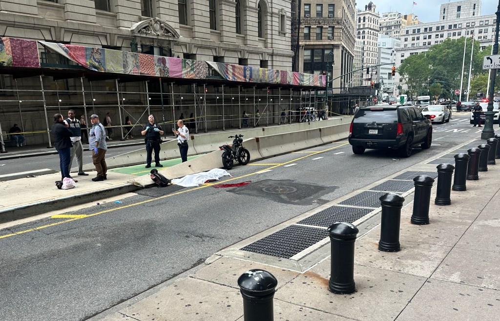
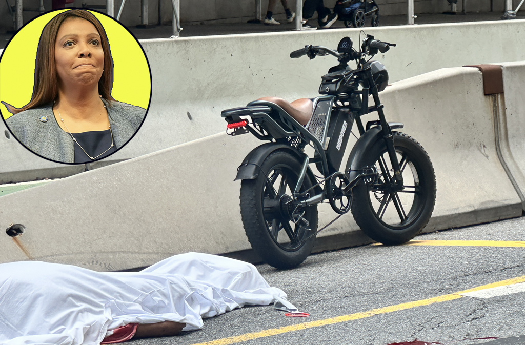
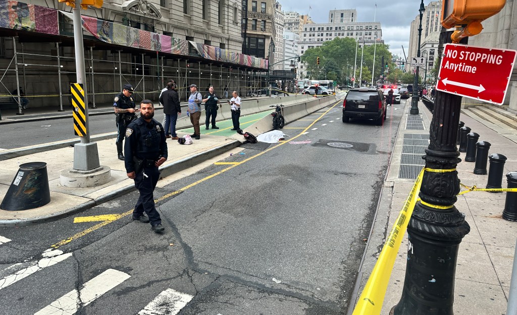
City traffic deaths have outpaced gun fatalities this year, and the four pols — Council Member Tiffany Cabán, Assembly Members Zohran Mamdani and Jessica González-Rojas, and State Sen. Kristen Gonzalez — cited their 13 constituents killed so far this year and the more than 900 reported pedestrians and cyclists injured in the area as a clarion call for action.
“Even one death is too many, and these 13 tragedies have had a major impact on Western Queens residents,” the electeds wrote in the 20-page hyper-local transportation agenda. “Local advocacy and organizing for improved street safety measures increases following each death, and advocates have become consistent and vocal in their support of neighborhood-wide changes.”
The six-year schedule is a mix of previously announced deadlines by the Department of Transportation and benchmarks that the local pols suggest would be feasible each year.
“There’s a lot of action that we could take right now,” said Laura Shepard, a Queens organizer with Transportation Alternatives. “Obviously we understand municipal bandwidth and we can’t do everything this year, but we can phase things in and accomplish a lot over a few years.”
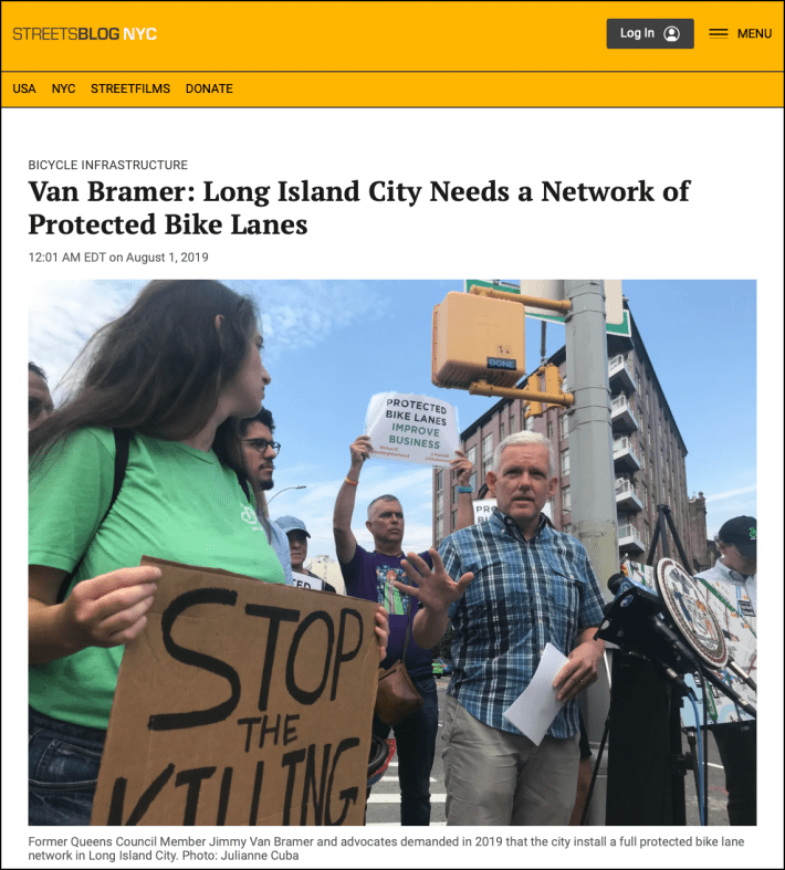
The initiative echoes a similar effort from 2019, when local advocates and then-Council Member Jimmy Van Bramer called for a first-of-its-kind network of protected bike lanes in Long Island City.
More recently, there has been a resurgence of activism in that part of the borough, where residents using Reddit have organized hundreds of people to show up to DOT workshops and police precinct council meetings to demand safer streets.
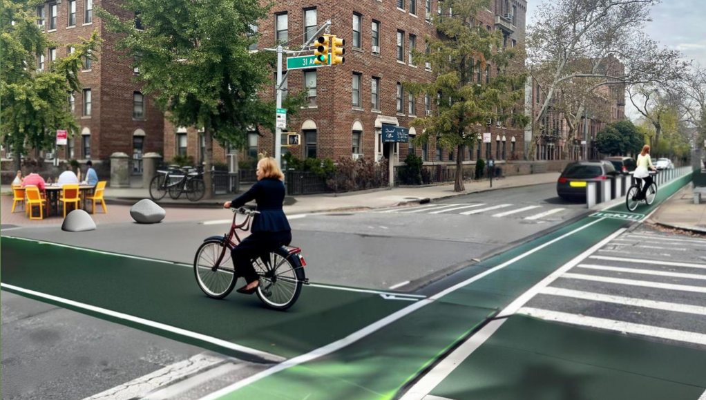
The plan starts with projects slated for next year, including finally opening the Queensboro Bridge’s south outer roadway as a separate path for pedestrians, and redesigning 31st Avenue into a bike boulevard.
The city should create an open street and a plaza on Newtown Road in 2025 and 2026, to make the street safer where a driver killed 7-year-old Dolma Naadhun in February.
The young girl’s death triggered a wave of activism to eliminate parking near intersections, also known as daylighting, an issue where locals have been at the forefront. Queens Community Board 1 in June passed a resolution in favor of the street safety treatment, inspiring several more civic panels in Brooklyn and Manhattan to do the same in recent months.
State law bars parking within 20 feet of intersections, but the city has long exempted itself from that provision, and the new plan calls for universal daylighting in the area rather than “prioritizing parking over pedestrian and cyclist safety.”
The yearly list includes recently announced traffic calming mid-block pedestrian crossings on Steinway Street in 2025, along with a push to create a second north-south protected bike lane east of 31st Street to fill a gap of safe routes in Astoria, for example with one path going north on 35th Street and another southbound on 36th Street.
Other proposals include traffic calming designs on speedways like 33rd Street and Astoria Boulevard, building out a continuous Western Queens Greenway from the Pulaski Bridge to the World’s Fair Marina, which DOT will begin planning next year, and better bike and pedestrian access on the Triboro Bridge, which the state’s Metropolitan Transportation Authority controls.
“The bigger goal of what we’d love to see across Queens and across New York is just a better, cleaner, more pedestrian and bike friendly city,” said Erin Dennis, a volunteer with the 31st Avenue Open Street Collective, which provided recommendations for the plan.
“You have to look at how do all these neighborhoods connect,” Dennis added. “We want people to move around just how they do on the subway.”
The push comes as the Adams administration has fallen behind legally required benchmarks to build new miles bike and bus lanes under the Council’s Streets Plan, and Hizzoner has said he cares more about community input than achieving any of the mandated mileage targets.
Advocates who worked on the plan hope it will help hold officials accountable in this — or any future — mayoral administration.
“We’re trying to set some deadlines or some structure, so that we can have some accountability,” said Shepard. “The hope is that a lot of this transcends administrations.”
There’s also a range of broader policy changes through legislation, like more automated enforcement, reducing speed limits, and charging higher fees for heavier vehicles that tend to inflict more injury and death.
The city and state should encourage more micromobility use instead of the growing number of gas-powered mopeds by expanding charging infrastructure and launching a rebate program for e-bikes, while also building out bus lanes for every major bus route in western Queens.
A DOT spokesperson noted that the agency has added more than 10 miles of protected bike lanes to the area in recent years, for example on Crescent Street, Skillman Avenue, Queens Boulevard, and the 34th Avenue and 39th Street bike boulevards.
“We appreciate the elected officials’ interest in traffic safety and their support of our efforts to redesign our streets and advocacy for more automated enforcement,” said Vincent Barone in a statement. “NYC DOT has delivered many safety projects in western Queens in recent years—work that has helped drive pedestrian fatalities citywide to historic lows, even as they rise nationally—and the agency looks forward to reviewing the report.”

Read More:
Streetsblog has migrated to a new comment system. New commenters can register directly in the comments section of any article. Returning commenters: your previous comments and display name have been preserved, but you'll need to reclaim your account by clicking "Forgot your password?" on the sign-in form, entering your email, and following the verification link to set a new password — this is required because passwords could not be carried over during the migration. For questions, contact tips@streetsblog.org.