The city's recent upgrades for bus riders and pedestrians on Gun Hill Road in the Bronx are promising, with some hard infrastructure to separate them from drivers on the deadly thoroughfare, but it remains to be seen whether motorists will stay in their lane.
The Department of Transportation's design for the 2.3-mile corridor between Bainbridge and Bartow avenues includes mostly bus lanes offset from the curb, along with a pair of block-long concrete boarding islands and center-running lanes, which DOT hopes will speed up commutes between Baychester and Co-Op City and local hubs like Montefiore Hospital and several subway lines.
It's one of the largest bus priority proposals of the Adams administration, which has fallen short of mandates.
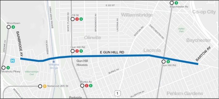
The changes were sorely needed for the 40,000 daily riders on two MTA bus routes: the Bx28 and the Bx38. The people movers run crosstown and connect to the 2 and 5 subway lines, plus are close to the 4 and D trains.
Buses went as slow as 4.7 miles per hour in the morning rush hours, according to DOT data, and more than one in three trips on the two routes fell more than five minutes behind schedule.
The Boogie Down thoroughfare also has a terrible record of traffic violence.
Over the past year there have been 216 reported crashes on the stretch, including when an SUV driver with a history of speeding killed a 60-year-old pedestrian last October. Those crashes injured 223 people — more than one every other day, according to city data.
DOT hasn't shared any hard data yet on faster bus speeds or lower crash rates, but the Gun Hill Road project should serve as a reminder to politicians stalling other Bronx projects like Fordham Road that these kinds of changes make commutes better for tens of thousands of New Yorkers, and it will be key for "Bus Mayor" Adams if he wants to improve on his poor record of adding new bus lanes this year.
We visited the Gun Hill Road project on Monday morning to put some eyes on the street.
Island paradise
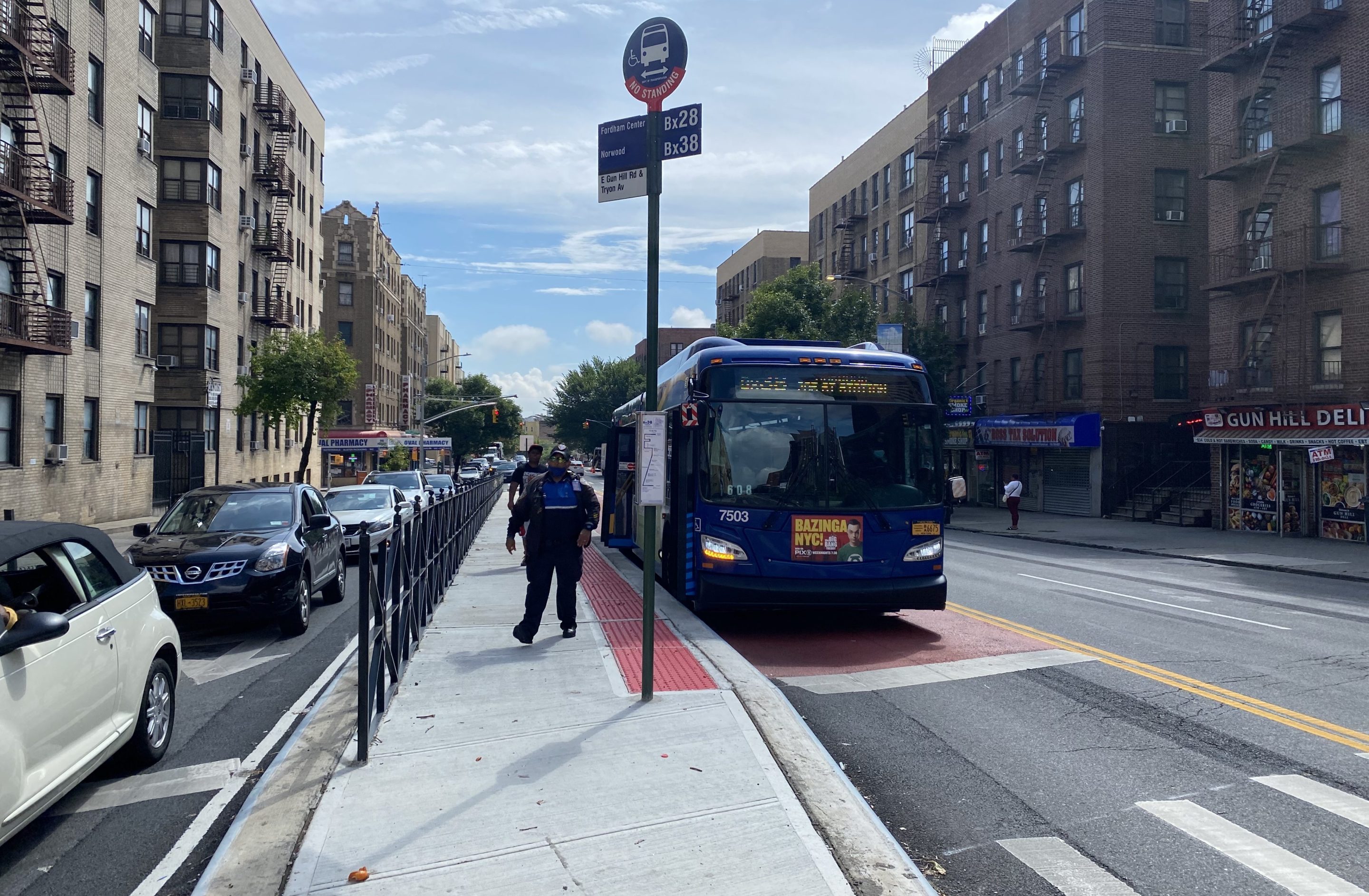
The standout from this redesign are the two block-long concrete boarding islands at the western end of the project with center-running bus lanes between Hull and Decatur avenues and between Tryon Avenue and Kings College Place.
It’s not the first time DOT has brought this infrastructure to the Boogie Down. The city built boarding islands on the Edward L. Grant Highway over in Highbridge in 2020.
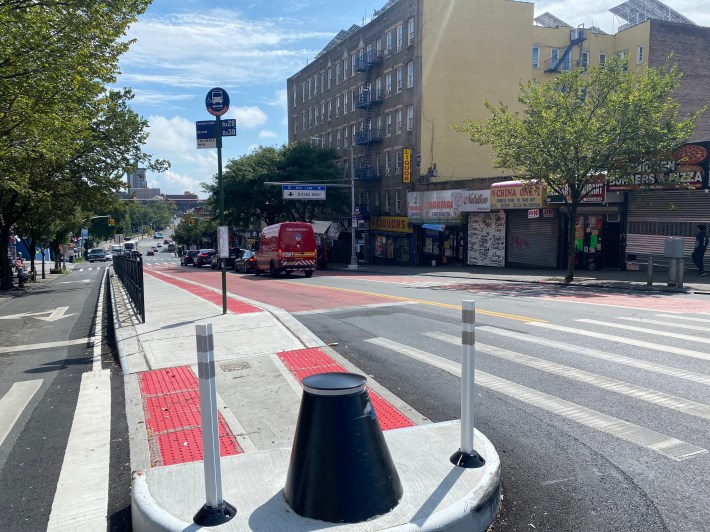
The raised concrete pedestrian strips have hard bollards at both ends and a metal fence along the side, creating a safe space for people getting on and off buses.
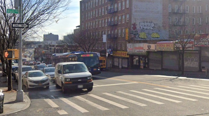
These two blocks felt very well organized, a clear improvement over what they looked like before, as you can see on this shot captured by Google Street View last year.
“This is good, I think it is more secure,” said one rider named Natalie, as she got off a bus on along the island near Tryon Avenue.
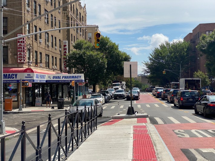
The hard divider does a good job at calming traffic and keeping drivers out of the bus lane. Just one block further east, double-parked cars were forcing other drivers to drive into the bus lane, but they dutifully returned into the car lane on the block with the island.
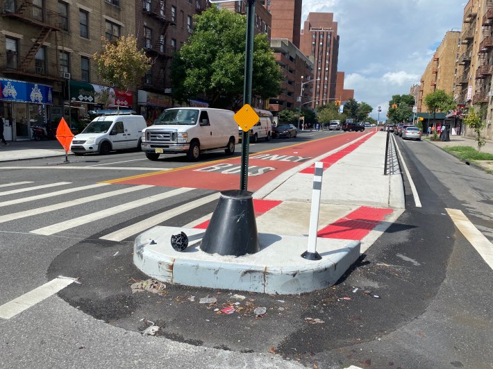
One of the flex posts next to the hard bollard was already broken off, so some drivers have obviously not gotten the message yet.
(Mostly) smooth sailing
The design of the rest of the bus lanes switches between mostly offset and some curbside bus lanes, with some blocks having a red-painted path in just one direction, and some blocks of gaps without bus lanes.
During my visit a Bx38 carried me and my fellow passengers quickly from west to east for most of the stretch, largely without issues, but my ride was slowed down any time the bus had to merge with other traffic during the gaps in red paint.
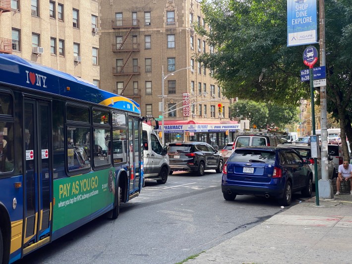
There were some double-parked cars either blocking the bus lanes or pushing drivers into the bus-only paths.
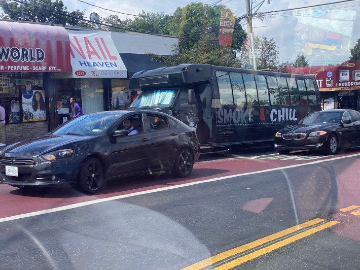
But overall, the transit lanes were clear — even outside a local post office at Arnow Avenue, which stood in contrast to other USPS outposts around the city which are prone to being havens of chaotic parking elsewhere.
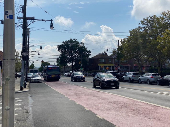
One daily bus commuter said the project will be for transit riders who won't have to wait behind private vehicles as much anymore.
“It is gonna be much faster,” Rafael Marrero, who rides the bus from his Co-Op City home to work at Montefiore Hospital. “It is going to work out for the best.”
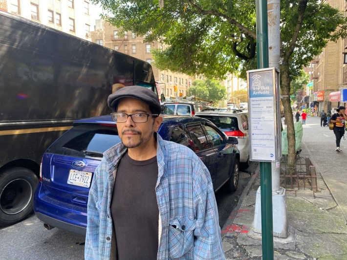
“Now everyone has their own lane and they don’t cut in front anymore,” added a Bx38 rider, who just gave her name as Elaina.
DOT expects fewer illegal parking thanks to camera enforcement on some streets and onboard buses, along with additional loading zones and metered parking, according to agency spokesman Scott Gastel.
Pedestrian spaces
The Transportation Department's overhaul also includes curb extensions and islands that were either painted or concrete to increase safety for pedestrians along the corridor.
The painted markings I found were not fully filled in yet with the usual beige paint, making it sometimes unclear that I was in a pedestrian space and not a slip lane for cars.
DOT still plans to add the paint there along with “vertical protection” over the coming weeks, according to Gastel.
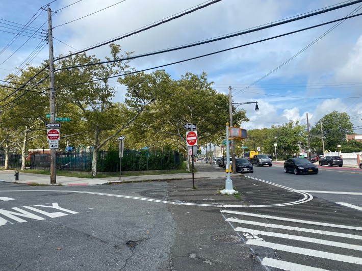
The agency also bizarrely cut the time pedestrians have to cross the 60-foot street from 50 seconds down to around 30 sections, to give drivers “substantially more green time, benefiting traffic,” according to its presentation from earlier this year.
The attempt at appeasing drivers goes against the fact that any congestion from the reduction in lanes typically improves anyway as people get used to the changes and opt for different routes, travel at less busy times, or ditch their automobiles entirely for other modes of transportation, as DOT itself also notes in the slides.
Gastel said only that the agency will “monitor and adjust signal timing as necessary.”
