The city Department of Transportation now says it will consider adding protected bike lanes to one or more Lower East Side avenues as the area gets set to lose an important bike route when East River Park is closed for a massive flood control project — a promise that comes only after relentless activism by residents (and coverage by Streetsblog).
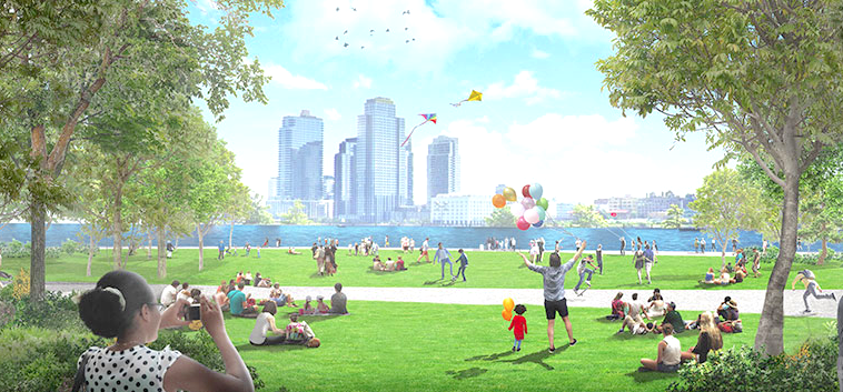
The DOT promise to look into better bike infrastructure came as the City Council approved the East Side Coastal Resiliency Project, a four-year, $1.45-billion scheme to raise the height of the park to ward off climate-linked flooding.
The park holds the East Side Greenway, a mixed-use path that is an important north-south route for bike commuters as well as for recreational cycling. The project would close the park and the greenway — about 2.5 miles of coastline — in stages starting next fall and lasting until 2025, shunting cyclists onto unsafe city streets — a prospect that had many local cyclists up in arms. Now, however, they may get an alternative.
"DOT, in consultation with Council members and other local stakeholders, will study the feasibility of installing protected bike lanes on one or more of Avenues A, B, or C in order to provide another alternative route to the East River Greenway," a spokesman told Streetsblog. "We expect to present the study’s findings to the community next year."
The promised study comes after Streetsblog repeatedly reported on how little concern officials were showing cyclists and their supporters as the resiliency project went through the city's land-use process. Local cycling activists lobbied elected officials earlier this year in order to press for safe cycling routes on the Alphabet City avenues.
Cyclists pointed out that the construction plan allowed cars to continually use the FDR Drive even as it curtailed cycling for the estimated 2,077 riders every weekday and 1,974 daily riders on weekends — numbers that are expected to rise by 5 percent annually. It remains offensive to cyclists that the city was willing to endanger thousands of people per day, yet demanded no sacrifice from drivers.
The best roadway for a protected bike lane would be Avenue B because Avenue C and Avenue A have buses.
"That leaves Avenue B, a great option that local advocates have been asking officials to look at for its proximity to schools, Tompkins Square Park and its connection to the Clinton Street lane coming off of the Williamsburg lanes," said Sophie Maerowitz, a Lower East Side cycling activist.
The resiliency project has provoked controversy since it was announced last year as an antidote to the kind of catastrophic flooding that inundated large swathes of the Lower East Side in 2012 during Superstorm Sandy. Residents generally support protecting the waterfront from potential storm surges related to climate change, but they protested the proposed four-year closure of the park, which would have denied access to its ball fields and their well-traveled riverside bike path — even as the adjacent highway, the FDR Drive remained open for vehicle traffic. In the end, the city relented and said it would only close the park in phases so that part of it could remain open for use during the construction,
Lower East Side Council Members Carlina Rivera, Keith Powers and Margaret Chin this week released a list of investments and other measures that they negotiated with the city in order to ameliorate the effects of the construction.
Mayor de Blasio indicated he'll sign the bill.
“The East Side Coastal Resiliency project [will] protect 110,000 New Yorkers from dangers this city knows all too well," the Mayor said in a statement.
