Look how Apolline's Garden has grown!
The city's plan to convert the westernmost block of Gates Avenue in a public plaza now includes the adjacent block, which would be converted to a one-way eastbound "shared street" configuration that would remove parking, widen sidewalks and require drivers to go a maximum of 5 miles per hour.

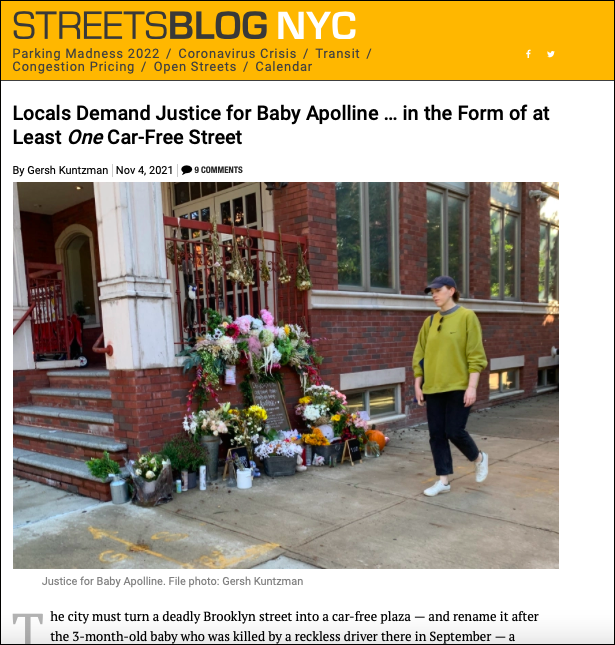
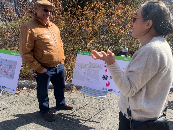
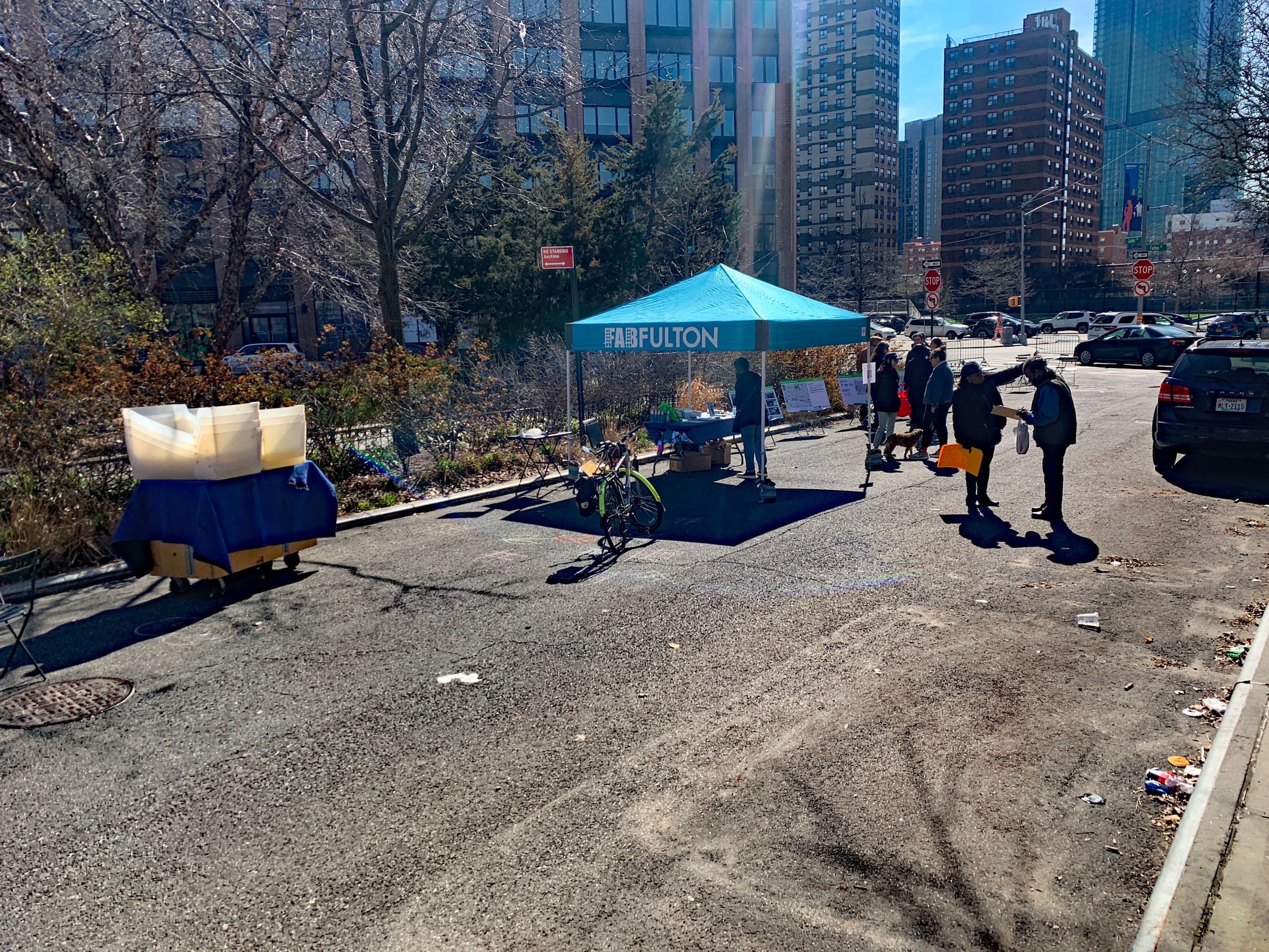
The Department of Transportation and the community group FAB Fulton presented the new plan in an informal workshop on the terminal end of Gates Avenue, near the intersection of Vanderbilt Avenue where 3-month-old Apolline Mong-Guillemin was killed by a reckless driver on Sept. 11, 2021. After that horrific death, residents and a local pre-school lobbied DOT to close off the western end of Gates to cars.
But now the proposal includes turning Gates Avenue between Vanderbilt and Clinton avenues — currently a narrow, two-way roadway with parking on both sides — into a one-way eastbound street with little or no parking and the light-brown paint that signifies to drivers to proceed slowly.
The goal of the larger project is to "establish a safer school corridor along Gates Avenue via neckdowns and bike corrals," the DOT presentation said.
Local activists hailed the plan on Twitter:
Great to see @NYC_DOT’s plans to not only implement Apolline’s Garden but also more comprehensive safety upgrades along Vanderbilt, Gates, and Atlantic Avenue. 👏🏻 👏🏻 👏🏻 pic.twitter.com/C7pPKVhT9e
— Mike Lydon (@MikeLydon) April 2, 2022
But there is also substantial local opposition from car owners who have taken their concerns to Community Board 2, several members of which have been vociferous. One CB2 member, Esther Blount, was on hand on Saturday collecting signatures against the plan, which she has said is being pushed by outside gentrifiers.
“Every time something happens,” Blount said at a meeting last year, referring to Baby Apolline's death, “we lose more and more parking spaces.”
But the same death encouraged Renee Collymore, the neighborhood's former district leader and head of the Vanderbilt Avenue Block Association, to come out strongly in favor of the plan.
"It is something so simple," she wrote recently in Streetsblog. "The city has failed to redesign the last half-block of Gates Avenue and make it a car-free plaza — as it has done with many stub ends of roadways along Fulton Street — because a small, car-owning minority has defiantly seized the curbside, which is public space, to park six cars."
The plan, indeed, is simple: The DOT has created many public plazas to close off oddly shaped intersections that have proven dangerous. One great example of such a plaza is just six blocks to the east of Gates Avenue on Fulton Street, where, in 2019, the city created Putnam Triangle by closing the terminal one-block squib of Putnam Avenue to cars, and filling it in with concrete, planters, seating and tables. It is now a beloved local amenity (see below):

On Saturday, the DOT also presented its leisurely timeline. After the community presentation, there are still multiple steps, any one of which could cause further delays:
- a traffic analysis (April).
- incorporate the community feedback and the traffic analysis into the final design (May).
- "ongoing public engagement" (June).
- a presentation to Community Board 2 (late June).
- "potential plaza implementation" (summer/fall).
Oddly in promoting its plan for pedestrian safety improvements, the DOT understated the number of crashes and injuries that have occurred in the study area since 2015.

According to the DOT, 300 people have been injured since January 2015. But city statistics show that 389 people have been injured in the same zone over the same period, including 91 cyclists, 67 pedestrians and 231 motorists in 316 crashes.
One man who supports the city proposal nonetheless blamed cyclist for many of those crashes — but the numbers suggest just the opposite: Of the 389 people injured, just three people (all pedestrians) were injured by bike riders, less than 1 percent. Of the 316 crashes, 11 involved a cyclist.


