Protected Bike Lanes Will Connect South Bronx to Randall’s Island

Last fall, the city opened a direct car-free connection between the South Bronx and Randall’s Island. The Randall’s Island Connector provides convenient access to acres of parks and ballfields and — via the 103rd Street footbridge — Manhattan. But the truck-heavy industrial streets that lead to it still leave a lot to be desired. A new NYC DOT project would create bicycle links between the Connector and 138th Street [PDF].
The DOT project calls for protected bike lanes linking the Connector to streets on each side of the Bruckner Expressway, which divides Mott Haven to the west from the more industrial Port Morris to the east. The plan draws heavily from ideas put forward last summer by The Haven Project [PDF], an initiative of the New York Restoration Project. Bronx Community Board 1’s municipal services committee voted unanimously for it on Monday.
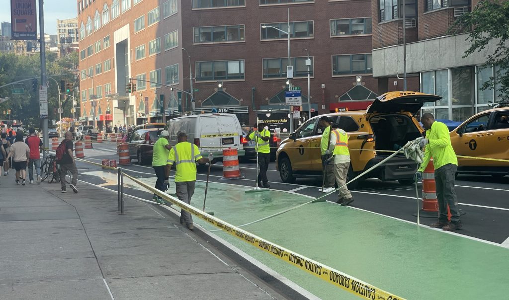
Segments of two-way protected bike lanes on Willow Avenue, 133rd Street, St. Ann’s Avenue, as well as a very short piece of 138th Street, would converge at Willow and 133rd, where the bike route to the Connector entrance at 132nd Street would follow a short jog on the sidewalk. For the most part the bikeways will be nine or ten feet wide with three-foot buffers, but on one block of 133rd the bi-directional lane will only be eight feet wide, including the buffer.


At the intersection of 138th Street and Bruckner Boulevard, underneath the Bruckner Expressway — a jumble of highway access points, service roads, and through streets — the project calls for expanding medians and adding one pedestrian island, giving people crossing the intersection better refuges if they can’t cross in one light cycle. But more people will need multiple cycles, since the crossing time will be reduced from 45 seconds to 40 seconds. DOT has yet to determine whether the medians will be designed to let cyclists through in channels at street-grade or if they will have to use the same sidewalk ramps as pedestrians.

A bus bulb on the northeast corner will shorten the crossing of 138th Street. Westbound cyclists heading away from Randall’s Island would be directed to use a bi-directional, barrier-protected bike lane on the south side of the street and then jog over to the north side to cross Bruckner Boulevard.
Last year, DOT began implementing a protected bikeway on Bruckner Boulevard with a section running along a median between Hunts Point Avenue and Longwood Avenue. Extending that bikeway south to 138th Street would create a safe connection to this project and to Randall’s Island. DOT said last March that it is working on an extension of the Bruckner bikeway, but there is no timetable for it.
CB 1’s municipal services committee endorsed DOT’s proposal unanimously last night, with the stipulation that they work to off-set the loss of parking spots, according to District Manager Cedric Lofton. Pending a full board vote on June 30, DOT said it expects to begin implementation later in the summer with completion expected in the spring of 2017.

Read More:
Streetsblog has migrated to a new comment system. New commenters can register directly in the comments section of any article. Returning commenters: your previous comments and display name have been preserved, but you'll need to reclaim your account by clicking "Forgot your password?" on the sign-in form, entering your email, and following the verification link to set a new password — this is required because passwords could not be carried over during the migration. For questions, contact tips@streetsblog.org.