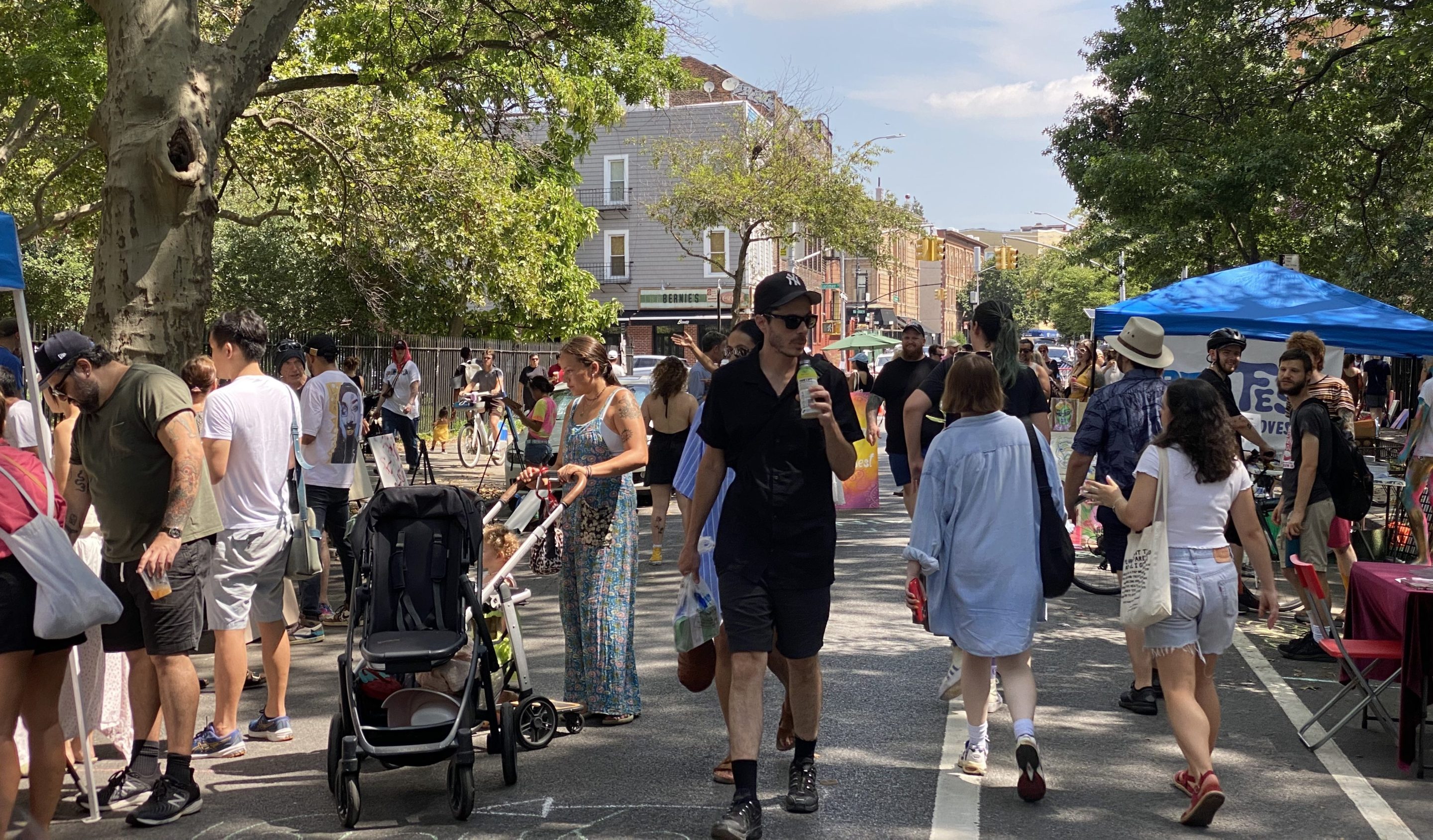
Cars were banned from a stretch of Driggs Avenue that bisects McCarren Park in Williamsburg for a block party on Saturday — and Brooklynites hope the space can soon be permanently reclaimed for people not automobiles.
The day-long celebration replaced the pollution and danger of cars with yoga classes, dance parties and art installations on the roughly 1,000-foot "Driggs Passage" between Lorimer and N. 12th streets, a stretch that could unite two of the severed greenspaces of McCarren if the city permanently banned cars from cutting through.
One local pol said the city should consider removing vehicles from the road bifurcating McCarren like it did when officials prohibited traffic through other major parks in the city.
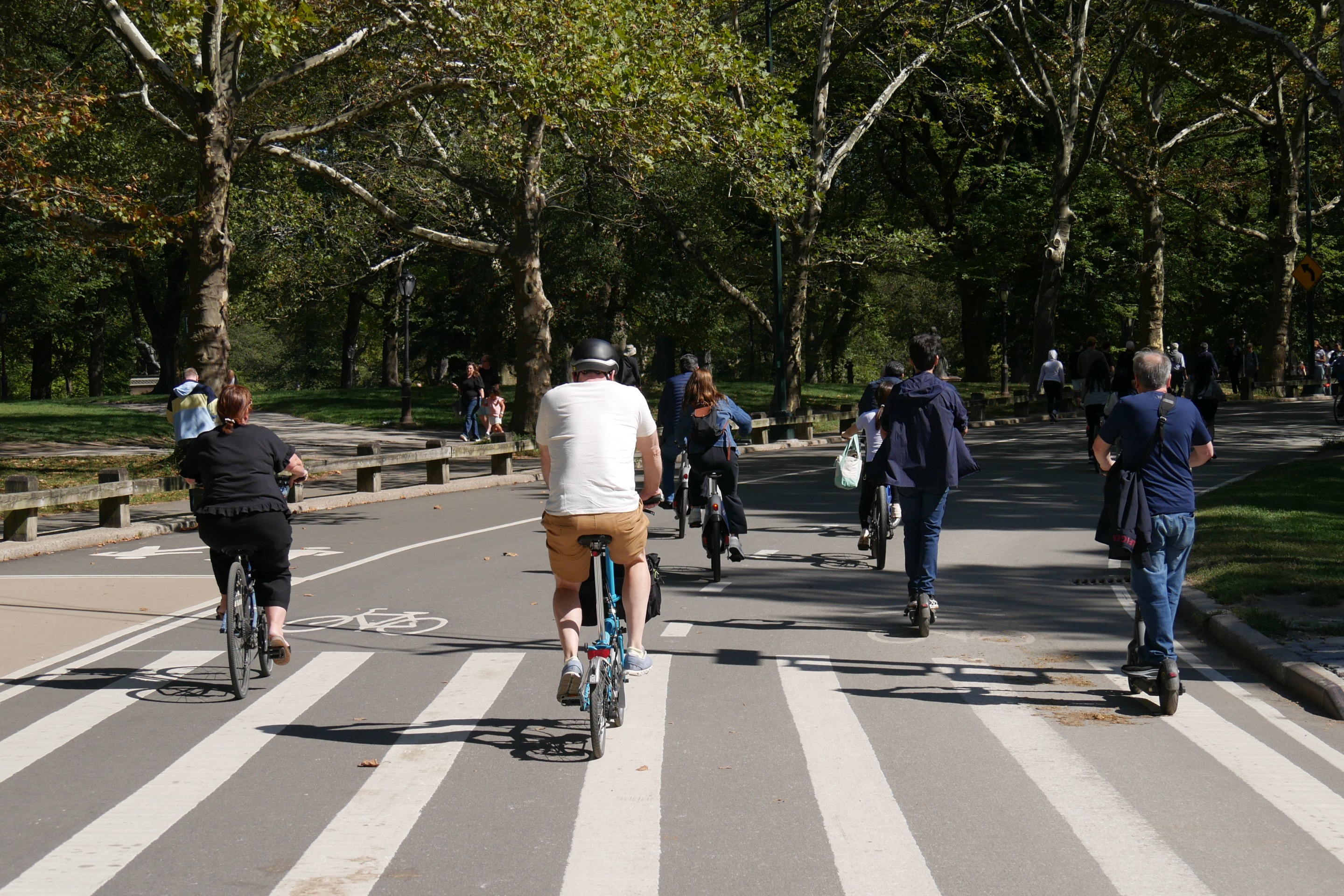
"In recent years we’ve had successful campaigns to achieve a car-free Central Park, a car-free Prospect Park, and I am excited by the prospect of considering a car-free McCarren," said Council Member Lincoln Restler (D-Greenpoint). "Today is a one-day experiment to just experience what it would be like to not have cars flying through the middle of our community’s primary green space."
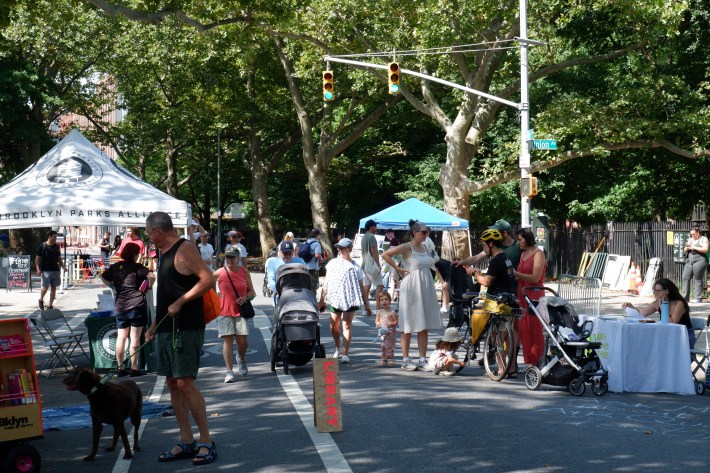
The closure would create a new 1.5-acre open space in the middle of the 35-acre park, according to organizers.
The B62 bus uses the road, but the Metropolitan Transportation Authority rerouted the people mover for the day-long event.
The idea first came up as part of the 2005 rezoning of the north Brooklyn waterfront, when officials proposed removing either a portion of Lorimer Street or Driggs Avenue from the street grid, also known as de-mapping, to increase the size of McCarren Park, according to reports from the time.
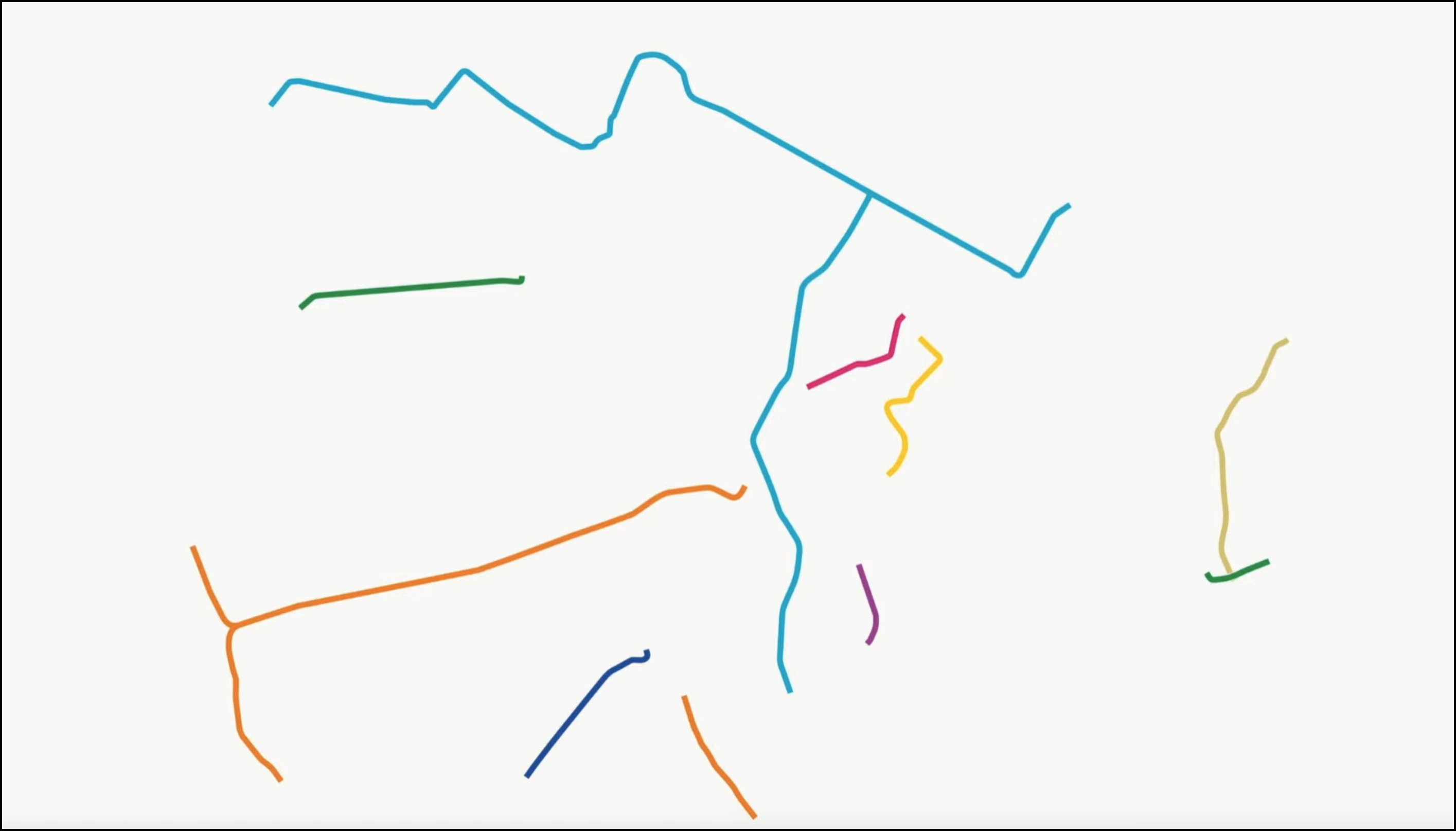
The city de-mapped a block of Union Avenue going through the park in 2015 (it now appears on the Google Map above as a green line to the west of the main playing fields). More recently, North Brooklynites have have reclaimed streetscape from cars during the pandemic, including a section of N. 15th Street between Banker Street and Nassau Avenue, dubbed Banker's Anchor, the mile-long pedestrian and bike boulevard on Berry Street, and the six-week closure of Bedford Slip amid the G train shutdown.
"The purpose is to envision what McCarren could be like in this cohesive future, where the different and distinct parcels are united by public space and not divided by car traffic," said Katie Denny Horowitz, the executive director of the North Brooklyn Parks Alliance.
However, some efforts to remove car infrastructure in north Brooklyn have run into roadblocks by the Adams administration, such as the much-delayed McGuinness Boulevard road diet, which the Department of Transportation watered down after an intervention by the mayor's chief adviser Ingrid Lewis-Martin on behalf of powerful local interests. That revamp remains unfinished, despite officials promising to wrap it up in the spring.
Brooklynites using the new open space on Saturday welcomed the addition, saying locals need more outdoor space, even if it inconveniences motorists.
"At the very least, closure on weekends allows for more public space within McCarren Park where in the summer time we see so many bodies fighting for green space," said Williamsburg resident Amy Pekal.
Another local said the Parks Department should also remove the fencing around the edges to remove barriers between the spaces.
"I think it would nice if the fence were down and it would truly be one space, rather than this being a busy road," said Virginia Gao.
Her husband, Matthew Perkins added that as a driver, he'd "miss the parking," but added he supports safety — something lacking on a roadway that runs through a park, yet where there have been 42 reported crashes since 2020, injuring six cyclists, one pedestrian and six motorists, city statistics show.
"When you drive down the street here, I’m always like, ‘I don’t want to hit somebody,'" said Gao's husband, Matthew Perkins.
One Bushwick resident worried that it would force drivers to detour, but he also saw the potential for bringing people together.
"Of course it’s going to inconvenience a lot of people, but it might bring the community closer together, people can kind of interact on foot as well," said Jody Bain.
