Last night, Brooklyn Community Board 1's transportation committee unanimously recommended the board support a DOT project [PDF] to calm traffic on a deadly stretch of Kent Avenue between Clymer Street and the Brooklyn Queens Expressway. The project also upgrades a link in the Brooklyn Waterfront Greenway to a two-way protected bike lane.
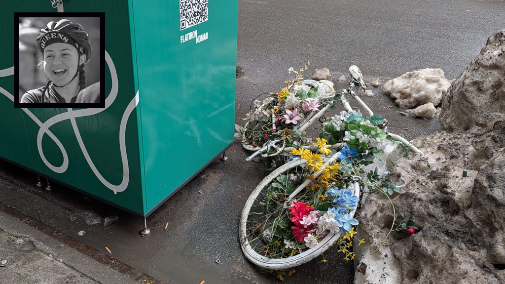
Last March, hit-and-run driver Julio Acevedo, who police say was traveling 69 mph, killed Raizy and Nathan Glauber, both 21, in a two-car crash on this section of Kent Avenue at Wilson Street. Acevedo, facing charges including criminally negligent homicide and manslaughter, is scheduled to go to trial next year.
Since the crash, DOT has installed traffic signals at Wilson and Hooper Streets. The agency says crosswalks will be added at these locations next year, once crews begin striping again in March. (Currently, there are no marked crosswalks between Clymer Street and the BQE, a distance of four-tenths of a mile.)
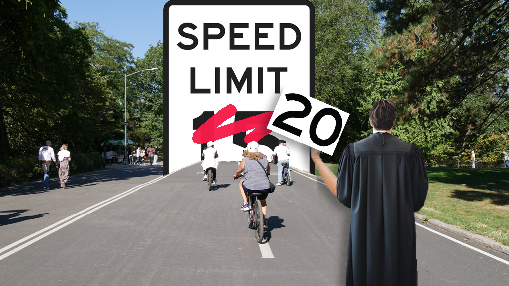
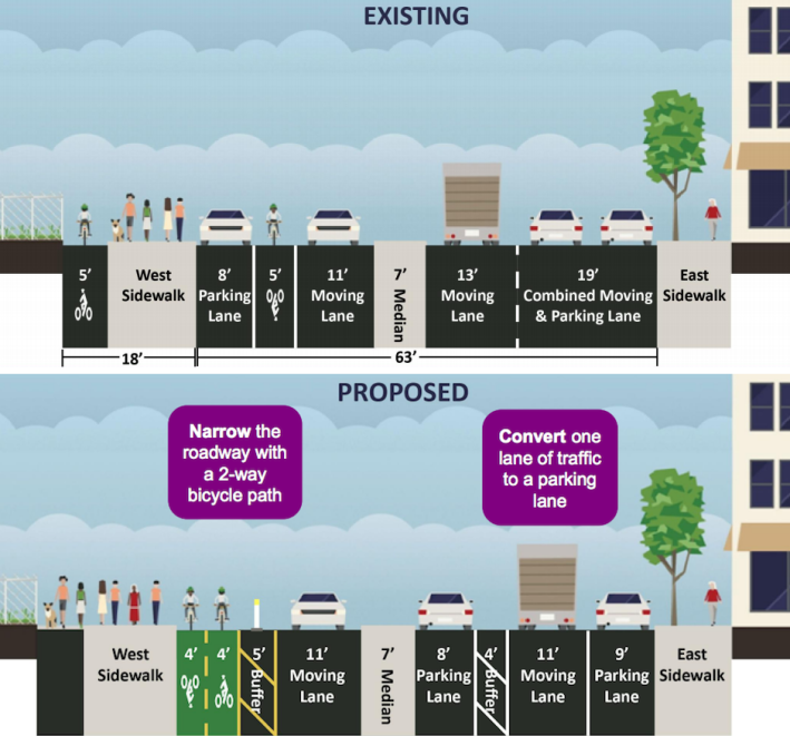
This section of Kent Avenue is currently a median-divided road with parking on the east and west sides of the street. There is one southbound car lane and two northbound car lanes. A DOT study in May found that 82 percent of northbound drivers exceeded the 30 mph speed limit, similar to measurements taken last March by Transportation Alternatives and Council Member Steve Levin, which found 89 percent of drivers breaking the limit.
"When roads are overbuilt, this is the way people drive," said DOT's Ted Wright, adding that car volumes on Kent could be accommodated in one lane in either direction without any impact on traffic. "This is about limiting the speeds of vehicles on the northbound side," he said.
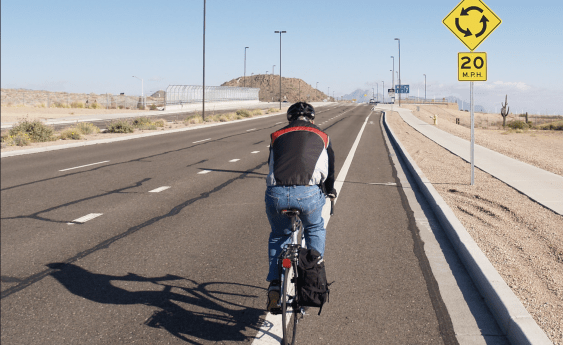
The plan, set to be implemented next summer, would eliminate the left lane of northbound traffic, converting it to a buffered parking lane alongside the median. (A similar configuration exists on northbound Carlton Avenue between Myrtle and Park Avenues in Fort Greene.) On the southbound side, curbside parking would be converted to a two-way bike lane, separated from motor traffic by plastic bollards. Currently, this section of Kent Avenue has a striped southbound bike lane, while northbound cyclists are directed to the sidewalk, a maneuver Wright said many people find confusing. (This sidewalk is also occasionally used as parking by local residents.)
"What we're doing is creating a continuous path," Wright said, referring to the planned reconstruction of Flushing Avenue to the south and the existing two-way bike path on Kent Avenue north of Clymer Street, both part of the Brooklyn Waterfront Greenway.
The committee supported the plan and requested DOT present it to the full board in January, but also continued to push DOT for improvements to the heavily-used northern section of Kent Avenue. This area has high volumes of cyclists on the bikeway and pedestrians crossing to and from the waterfront. DOT said last night that traffic at the intersections of North 8th, 9th and 10th Streets did not currently meet the requirements for a signal, but the agency would perform counts again in the future. In the meantime, committee chair Karen Nieves suggested concrete islands to give pedestrians a safer, more defined place to wait while crossing the street, a suggestion DOT staffers were open to last night.
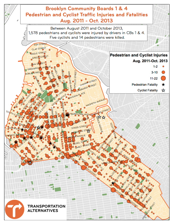
Later in the meeting, the committee heard from Transportation Alternatives volunteers working on traffic safety forums in Williamsburg, Greenpoint, and Bushwick slated for next spring. The volunteers, who last week had spoken to the full board and presented a map of the area's pedestrian and cyclist injuries and fatalities [PDF], are hoping to secure CB 1 as a co-sponsor for up to three events featuring DOT and NYPD, where residents will be invited to map out danger hotspots and brainstorm solutions.
So far, the volunteers have secured support from 62 partners [PDF], including Assembly Member Joe Lentol, State Senator Daniel Squadron, Council Member Steve Levin, Council Member-elect Antonio Reynoso, business groups and local businesses. A petition in support of the community safety forums has garnered nearly 1,300 signatures.
The group is looking to host planning meetings in January, followed by public forums in March or April and a final list of recommendations in May.
