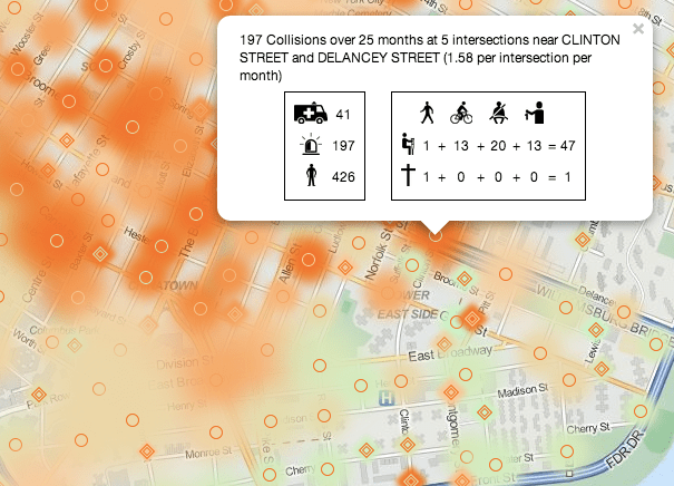
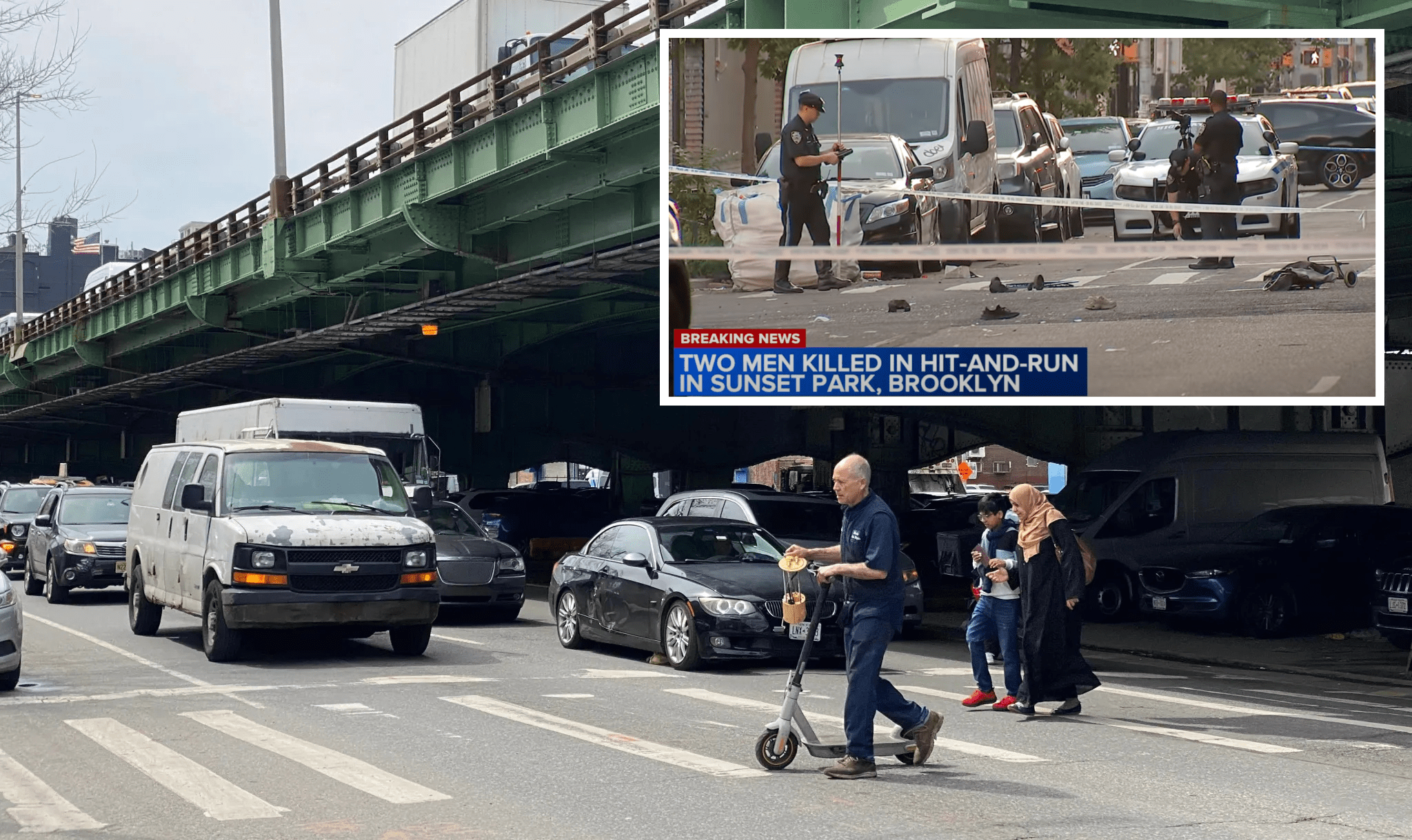
This morning's City Council transportation committee hearing covered a number of bills, including one that would require NYPD to release data to the Department of Information Technology and Telecommunications for a public map of crash locations and traffic fatalities, to be updated monthly. NYPD testified in opposition to the bill, claiming that it was already doing enough to release information to the public. A panel of technology and street safety experts testifying later disagreed, and were joined in their skepticism by some council members, including committee chair James Vacca.

One of NYPD's main objections to the crash map bill is that crash reports, which must use forms from the state Department of Motor Vehicles, map incidents to the closest intersection, not geographic coordinates or addresses. Without having a precise location, NYPD says the public might be confused about where crashes actually occur.
"Putting it on a map is inherently somewhat misleading," NYPD assistant commissioner of intergovernmental affairs Susan Petito said.
Council Member Dan Garodnick asked if the agency would be interested in joining the council to advocate for a change to the state form to allow for addresses or geographic coordinates. "I don't think so," Petito replied. "The utility of a street address, I can't sit here and tell you that would add anything."
While arguing against sharing more detailed information with the public, Petito said that the police department's own access to high-quality information about where and why crashes occur give the department a better perspective on traffic safety than the public has. "We look at it a little differently from the way a member of the public would," she said. "We have access to so much more information, including everything on the police accident report."
"I'm not worried about confusing the public," Vacca said after the hearing. "I think people understand what's released more than the police department would give them credit for, and I think we should have the information."
While having the city create its own crash map would be a step forward, transportation and technology advocates testifying today said it's more important for city agencies to release quality data to the public, which would be easy to access by coders and interested communities. At present, crash and summons information is released in PDF and Excel formats that the police department must compile each time it releases data, and developers must reconstruct to create complete, geographically-tagged data sets.
"The data isn't truly open," Transportation Alternatives general counsel Juan Martinez said. Though Local Law 12 of 2011 was a "landmark bill" that helped open up city data to the public, Martinez said, compliance by city agencies, including NYPD, has been less than comprehensive. "We are strongly recommending that in addition to making a map, which is one way to present the data, you also make the data available," Martinez said.
AAA New York, an infrequent ally of street safety advocates, also supported the crash map bill, saying that it would use publicly-accessible data to assess the effectiveness of red light cameras. AAA has said it supports automated enforcement "in concept" but has regularly attacked NYC's traffic camera programs.
One of the reasons agencies are reluctant to release data is that requests often come from those who are battling an agency over a specific issue, said Noel Hidalgo of Code for America. "They are scared to be transparent," he said. "We need advocacy from the council to demand that data is released in a non-judgmental way."
Freelance web developer John Krauss created a website that saves and archives NYPD crash and summons data, called the NYPD Crash Data Band-Aid, and another site that maps crash data. "I call it the crash data band-aid for a reason," Krauss said. "We have to establish a high-quality original source."
"This all comes down to departments releasing data in a timely manner in a way that programmers can use," programmer Nathan Storey said, in response to questions from Council Member Vincent Ignizio, who himself was clearly intrigued by the notion of improving the city’s open data practices.
"Let these guys have a hack at it," Martinez said.


