How much is New York's Second Avenue Subway estimated to cost? What transit lines really make up LA's ambitious 30/10 initiative? Besides the silver line to Dulles Airport, which may or may not ever be completed, what other changes are projected for DC's metro system? And what's all this construction in Fort Worth?
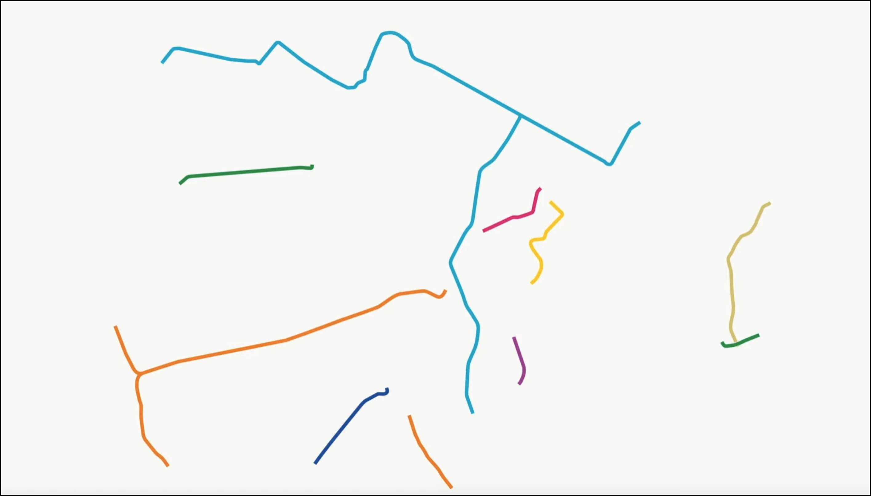
The answers to all those questions -- and in fact, just about any question you might have about ongoing transit projects -- can now be answered in one handy map, brought to you by the chief cartographer of the livable streets movement, Jeff Wood of Reconnecting America.
Jeff is still inviting updates and corrections, so some crowdsourced factchecking is in order before we can officially declare this the authoritative encyclopedia of all U.S. transit projects. Still, it's a useful compendium of all transit-related progress afoot in the country -- and the limitations of the federal programs for putting transit plans into action.
Reconnecting America found strong demand for transit projects around the country but a dearth of federal support for such projects. "There is a huge backlog of federal funding through the New Starts program," the organization says. If all of the transit projects in this map were funded through the federal New Starts Program at the current spending rate, it would take 73 years to fund them all.
The map shows all planned transit expansions. If we were to limit the list to just those projects in the construction or final engineering stages, the wait for federal funding is still 30 long years.
Reconnecting America notes that the projects on the map would "connect 3.5 million more jobs to transit, an increase of 25 percent, and nearly 4 million households would gain enhanced transit access, with almost half of those being lower-income households."
The takeaway, they say, is that the New Starts Program isn’t sufficient to meet demand and is not well suited to support the rapid build-out many regions are calling for.


