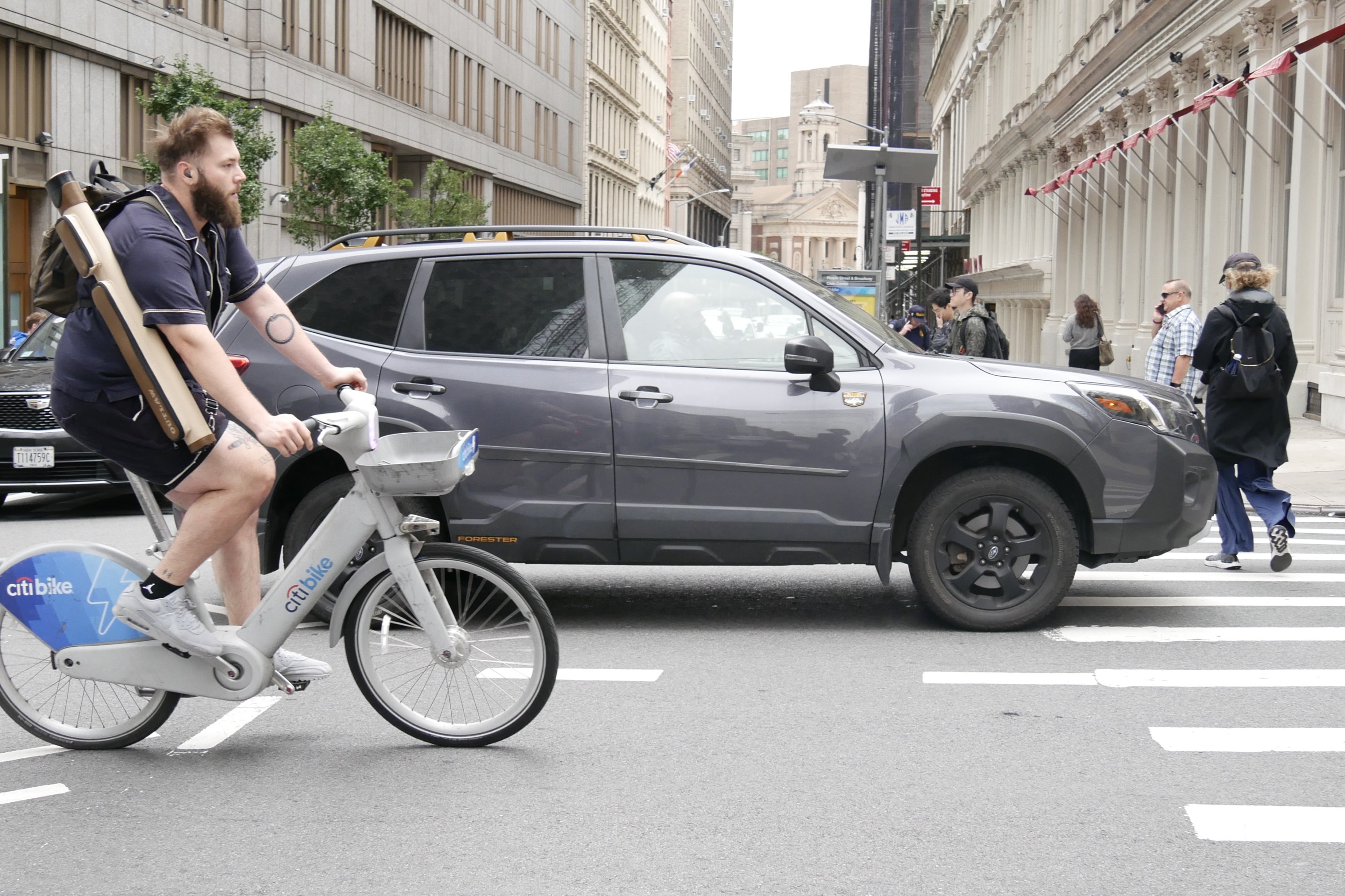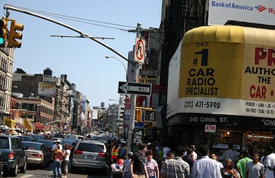
Canal Street, to put it mildly, is due for a makeover. The street is clogged with traffic from the Holland Tunnel and the un-tolled Manhattan Bridge. Pedestrians jostle for space on the packed sidewalks, and they're especially at risk of getting hit by a car, according to the city's Pedestrian Safety Study.
Fortunately, the funds are in place for an eventual reconstruction and re-imagination of the street, thanks to federal World Trade Center emergency relief aid. To help determine how to design Canal Street, which must strike a balance between serving the local community and the regional transportation system, NYMTC, the region's metropolitan planning organization, has been engaged in a nearly decade-long process of studying the area and drawing up recommendations for the corridor.
In a report released last Thursday [PDF], NYMTC recommends making Canal Street friendlier for pedestrians by adding significant amounts of sidewalk space. But larger changes, in particular the creation of a carpool lane in the Holland Tunnel, weren't included. According to the NYMTC report, NYCDOT has agreed to use the recommendations to inform its plans, though a DOT spokesperson said only that the agency was reviewing the findings.
The Canal Area Transportation Study process began in 2002, and the first phase ended with some relatively small improvements to the area, like high-visibility crosswalks, new signage, and temporary improvements near Allen Street. Since 2005, the second, larger-scale phase of the study has been underway, bringing together all the regional transportation agencies as well as others with a stake in the project.
The NYMTC team studied a wide array of congestion-busting ideas for the corridor. Some, like two-way tolling on the Verrazano Bridge or congestion pricing, were dismissed because they required legislative approvals well outside the project's scope. Transit expansions, like bringing the PATH train north from the World Trade Center or building light rail on Canal, were rejected as too costly. Some ideas were nixed because they lacked community support or because they conflicted with New York City's Street Design Manual. Other ambitious proposals, like keeping traffic off side streets including Pell, Doyers, Mosco, and Mulberry, were referred to the appropriate agency for further study.
What's left still has a lot to like.
In addition to a few recommendations that have already been implemented, like a HOV lane on the Manhattan Bridge and a median on Bowery, the plan calls for significant new pedestrian amenities. Those include leading pedestrian intervals at intersections and a redesign for the intersection of Bowery and Canal, at the foot of the Manhattan Bridge. Curb extensions would be built on Canal at Varick Street, between Elizabeth and Mulberry and between Baxter and Lafayette, replacing traffic lanes.
A separate memo on parking policy [PDF] also puts forward some powerful suggestions for making the most of scarce curb access and reducing parking-induced driving. That document recommends a further crackdown on parking placards, which in Lower Manhattan would significantly cut traffic. It also suggests that Park Smart might be successful in the area and puts forward the goal of keeping ten percent of spaces open at all times, which Donald Shoup would approve of. Though the report does raise the idea of building more parking on the area's periphery, it notes that this hasn't been particularly successful in other downtowns.
But NYMTC recommends against one significant change. Putting a HOV3 lane through the Holland Tunnel, the NYMTC model found, would shift cars with one or two passengers from the Holland Tunnel to the Lincoln Tunnel, George Washington Bridge, and Staten Island crossings. A NYMTC spokesperson added that those new trips, since less direct, would likely add extra vehicle miles traveled overall, and that a HOV lane already exists for the approach to the tunnel on the Jersey City side. While the tunnel itself would have less traffic with a HOV lane, NYMTC projected, the Manhattan streets it empties into would just fill up again with other traffic from the over-congested streets nearby.
NYMTC also looked into turning Canal Street one-way headed east, pairing it with a westbound Grand Street. While that option would have allowed for even wider sidewalks on Canal, wrote NYMTC, "the wider Canal Street sidewalks in the one-way alternative would be offset by the negative traffic impact of the one-way pair on both Grand Street and Spring Street." In other words, the cars won out over the pedestrians on that one.
The study also includes a wealth of data for those interested in the area's travel patterns. Congestion on Canal Street is worst on Sundays, for example, because non-work trips mean that there are more turns onto side streets, more cruising for parking, and more passenger drop-offs. The sidewalks are the most overcrowded between Broadway and Centre Streets. And during the weekday rush, there are roughly equal amounts of vehicles crossing Manhattan, beginning or ending their trip in Manhattan, and traveling within the Canal Street area.
