What Transportation Data Should NYC Open Up?
Today and tomorrow are momentous days for civic-minded software developers in New York City. The Bloomberg administration is accepting requests, until Tuesday at 4:00 p.m., to make specific government datasets publicly available. Modeled after a Washington D.C. initiative called Apps for Democracy, Bloomberg’s “NYC Big Apps” software competition promises to deliver greater transparency and, ultimately, improve city services.
The mayor’s initiative is not the only open-gov game in town. The City Council is currently considering a bill sponsored by Gale Brewer, Intro 991, that would require all city agencies to make their data publicly available.
My colleague Phil Ashlock over at The Open Planning Project, Streetsblog’s parent organization, posted a great explanation of why opening up city data matters. TOPP is putting together a dataset wishlist to submit to the city by tomorrow’s deadline, and they’re looking for ideas and suggestions.
What type of data are we talking about, and how would it be used?
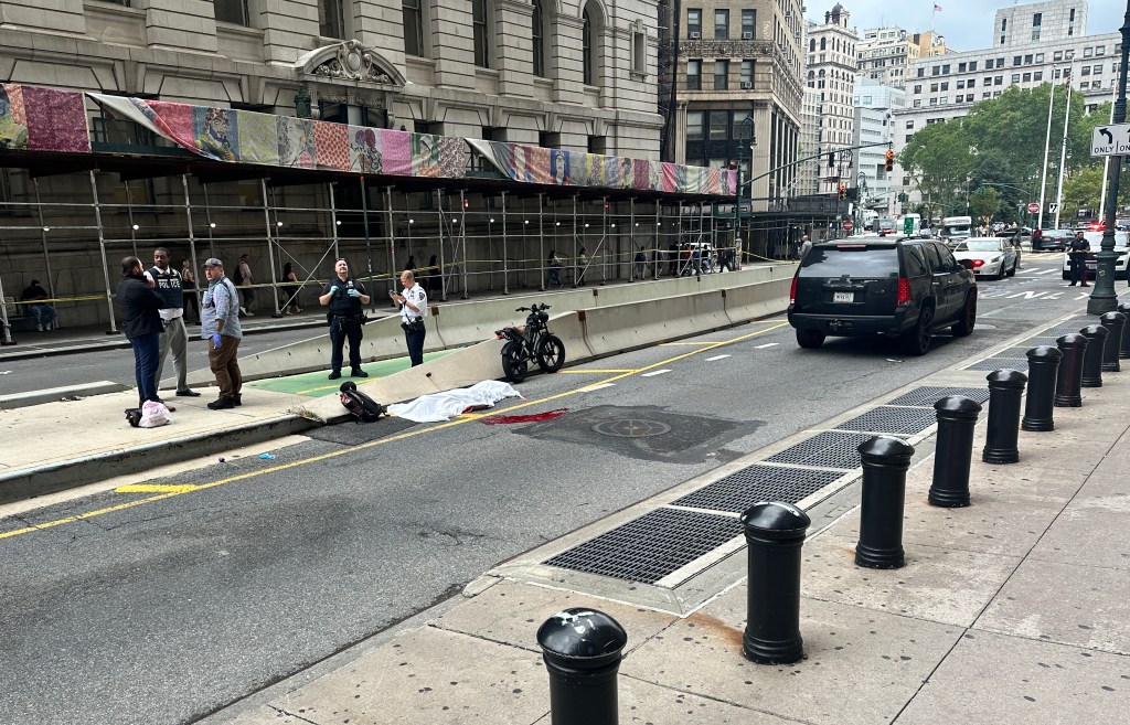
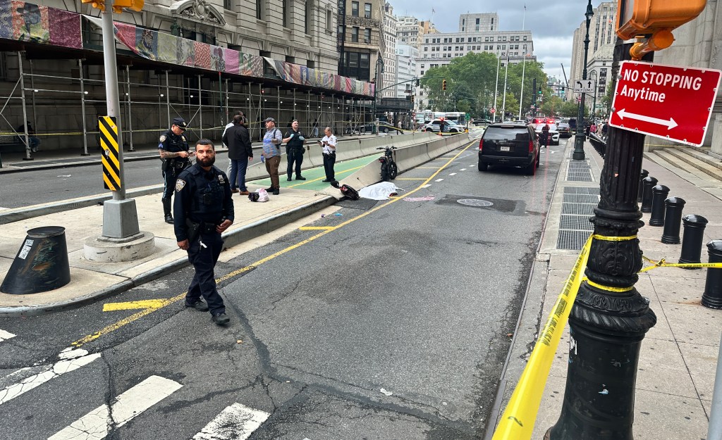
Consider CrashStat, the website produced by Transportation Alternatives that displays locations where pedestrians and cyclists have been injured in traffic collisions over time. To produce its maps, CrashStat crunches data obtained from the state DMV, data that must currently be procured through onerous freedom of information requests. Once TA gets the data, which arrives in a difficult-to-parse format, turning it into legible, mapped information is a long slog.
New York City has access to the same DMV data and could make it publicly available in easy-to-process formats. “Timely, accurate and complete access to crash records would allow individual citizens and organizations to identify dangerous intersections and blocks in their neighborhood,” said TA’s IT Director Mike Infranco. “Widespread and easier public access to this data would also potentially benefit the City, in that increased citizen engagement in issues surrounding crashes has the potential to reduce crash rates, and all their attendant personal, property, legal and societal costs.”
Crash information is one of several datasets that TOPP developers will be requesting from the city. If you have ideas and suggestions for websites or applications that could be made with open data from the city, submit them through this feedback forum.

Read More:
Streetsblog has migrated to a new comment system. New commenters can register directly in the comments section of any article. Returning commenters: your previous comments and display name have been preserved, but you'll need to reclaim your account by clicking "Forgot your password?" on the sign-in form, entering your email, and following the verification link to set a new password — this is required because passwords could not be carried over during the migration. For questions, contact tips@streetsblog.org.