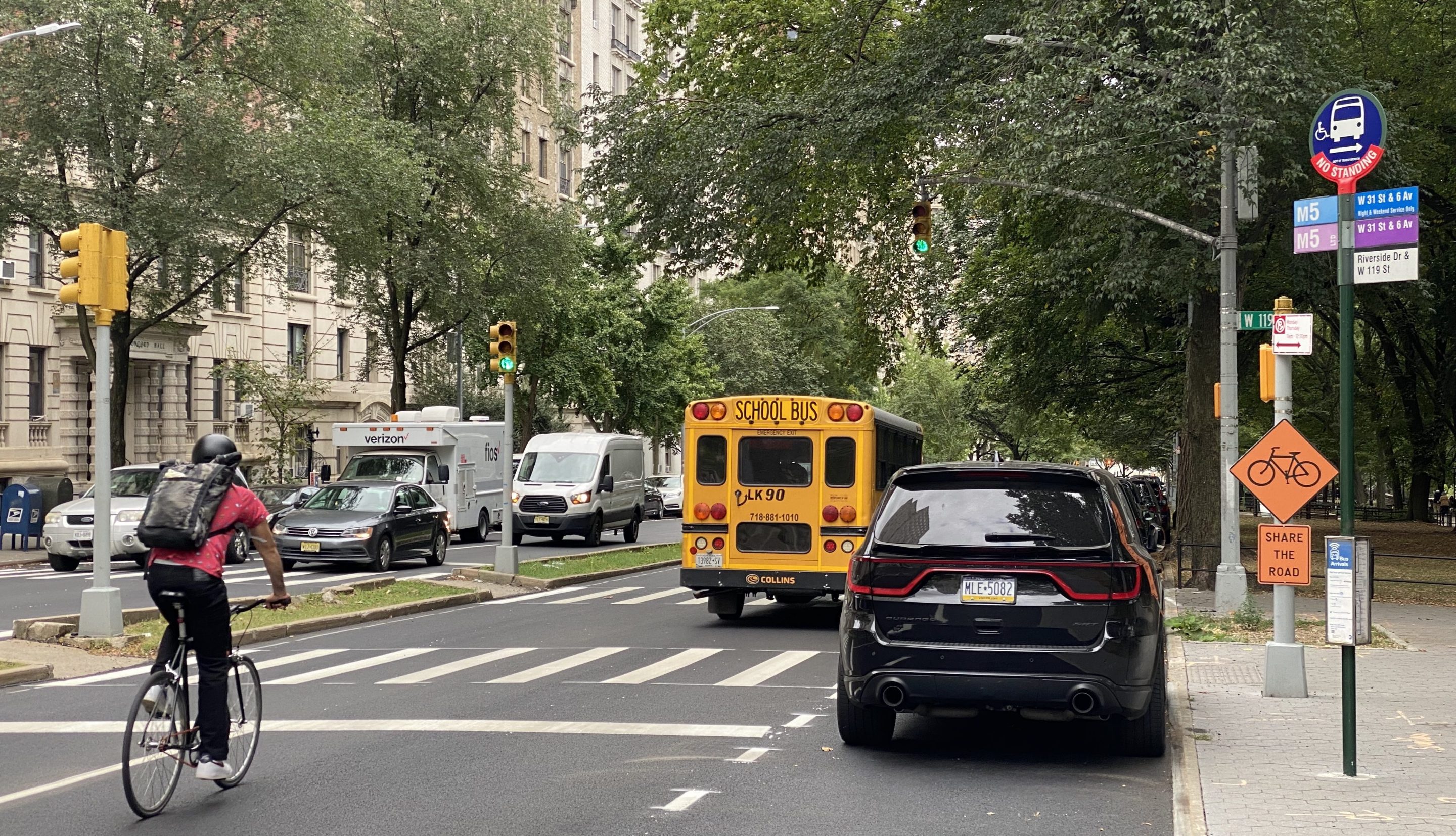
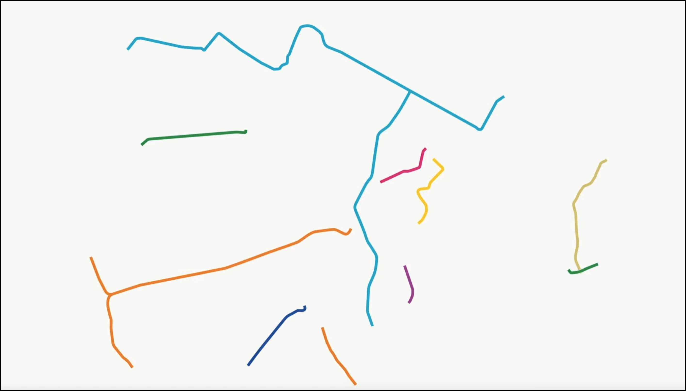
The Hudson River Greenway detour that the city sprung on thousands of cyclists with virtually no notice this week sends bike riders onto dangerous and steep streets mingling with car traffic, and few signs to guide people as motorists zoom by them at high speeds.
Welcome to the next six months on the Cherry Walk section of America's busiest greenway — just as it was four years ago when the Parks Department fixed the very same stretch between W. 125th and W. 100th streets.
Then as now, as many as 7,000 daily riders were surprised and confused about the interruption at both ends of the path's closure, Streetsblog found during a visit on Tuesday afternoon.
"It sucks," said Walt P., who was trying to navigate the detour's steep slope up Broadway near W. 125th Street. "You’re weaving in and out with cars."
The alternate route is crash prone with nearly one traffic injury a week, and it's now the second closure befalling northern Manhattanites on the Hudson River Greenway, after Parks recently closed off another part of it in Washington Heights due to a returning sinkhole.
These unsafe detours have become par for the course for the Parks Department any time it fixes its crumbling pathways.
One local elected official said the plans were seemed "shortsighted," but stopped short of a full-throated denunciation of the city's paltry effort to provide a safe alternative for this key transportation corridor.
"From what I’m hearing, it sounds a bit shortsighted, but I would have to do a tour of it," Council Member Shaun Abreu told Streetsblog, adding that he plans to check out the detour in the coming days.
"[The repair work] all needs to get done, but in the meantime, we need to make sure we hold the administration accountable," Abreu added. “[So] that we have a sustainable detour that is actually workable for the 7,000 cyclists that ride it every day."
There were 76 reported crashes injuring 47 people last year on the detour — nearly one person hurt a week.
Here's what Parks's suggested bypass was like on the ground:
Starting at the northern end at St. Clair Place, cyclists are greeted with literal red tape to keep them out.
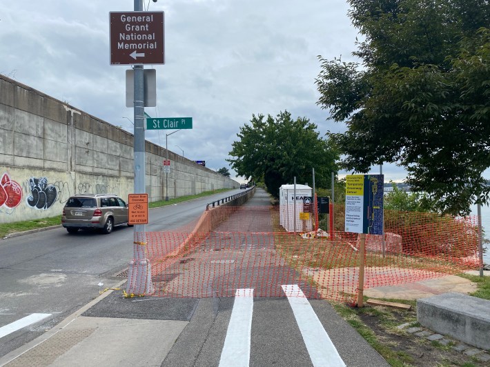
One cyclist recently didn't want to bother with the detour and was spotted taking the highway.
For the less adventurous, like myself, Parks and the Department of Transportation advise riders to take St Clair Place toward Broadway, but you will still have to cross over traffic coming off and going on the highway ramps nearby, and fend with two lanes of car traffic with no bike lane beyond a few sharrows.
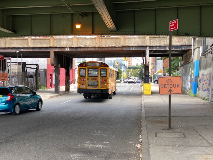
I rode toward east toward Broadway, with some sharrows, but drivers typically gave no consideration and impatiently pulled past me despite my decent speed on an e-Citi Bike.
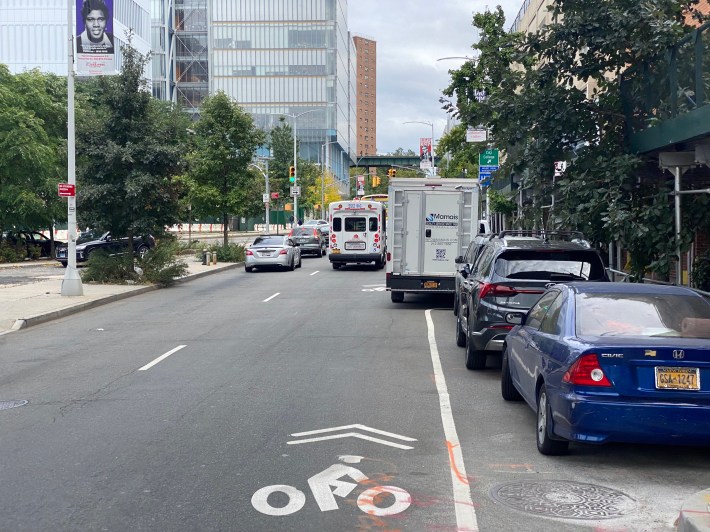
I turned off Broadway and up the hill of Tiemann Place to Claremont Avenue, where both I and another rider were unsure about which way to go — until we spotted a "Detour" sign obscured by a parked pickup truck.
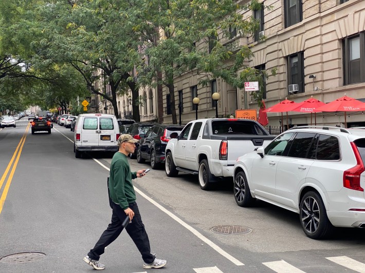
The hills of upper Manhattan made me glad to be riding an e-bike, but people without that pedal assist should prepare for a much more exhausting ride than the flat Cherry Walk down by the river. For many that will mean struggling up a hill slowly as cars whiz by at full speed.
I eventually turned right onto Riverside Drive, which comprises most of the detour. The windy thoroughfare has two lanes each way with blind corners, as drivers went past me and other cyclists at high speeds, making this stretch not for the faint of heart.
The DOT chose not to provide a safe route for cyclists, despite the road narrowing down to one lane each way just blocks south of the detour anyway. Instead, the city has put up "Share the Road" signs.
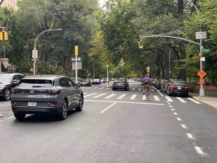
Several cyclists chose to just ride on the footpath of Riverside Park instead.
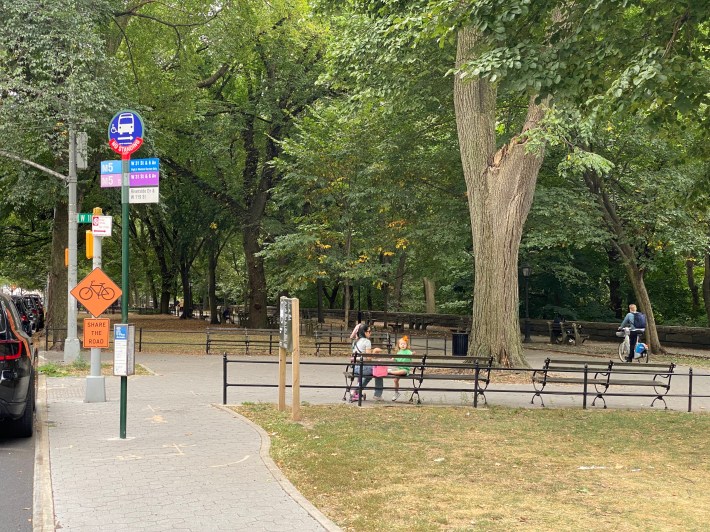
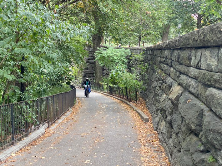
At W. 103rd Street, the route directs cyclists onto the path of the park and down a steep switchback and under a bridge section of the highway toward the waterfront, which will be tough for anyone coming up the slope the other way.
At the southern end of the closure a van blocked off the entry, with several cyclists and pedestrians wondering how to proceed.
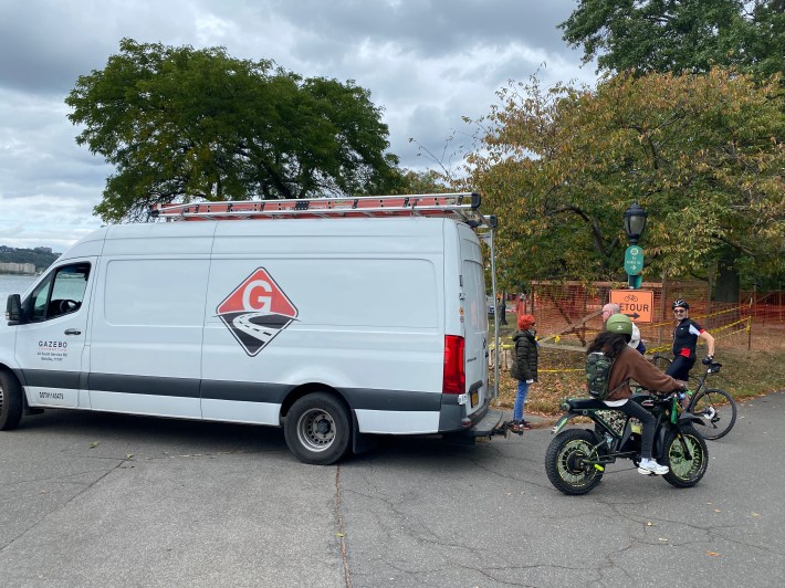
Cyclist Franklin Sanchez, who said he hadn't heard about the closure, was consulting his phone for new directions.
The Harlemite who commutes daily to Midtown said he did "not really" feel safe going onto regular streets.
"You have the cars and all that," Sanchez said. "It’s so annoying."
