Rich People are Cool! New Map Shows More Money Means More Trees
Trees are for the rich.
An illuminating map created by Zhi Keng He of BetaNYC puts into stark relief how much tree cover New Yorkers get in their neighborhoods — and it’s clear that the wealthier the neighborhood, the more arboreal its landscape.
To make the map, which is making its debut on Streetsblog, He used tree cover data from the city and overlaid it with income data from the census to show that communities with higher median incomes across the five boroughs typically have more trees on their blocks — and as a result, get more protection from the sun and more filtration of pollution.
The darkest green areas on the map correspond to high income and higher tree cover; the lightest gray area represents the lowest incomes and the lowest tree cover.
When shown the findings of the map, one resident of Boerum Hill said she has observed the contrast between her neighborhood and less well-off areas — and that basic tree cover should not merely be for the playgrounds of the rich.
“I think it’s disgusting,” said the resident, Patty Sullivan. “New York City taxpayers should be willing to say, ‘Look, those of us in elite neighborhoods need to make sure that the people in other parts of the city have trees and gardens, too.’ Why should it be a privilege of the elite? I would pay more taxes to make sure other neighborhoods got trees and playgrounds and stuff.”
The map comes on the heels of a recent study by Climate Central that revealed that New York City ranked third worst out of 159 cities for the “urban heat island” effect — areas where heat-related risk is higher due to impervious ground cover like asphalt; and it follows a New York Times story examining tree canopy cover in Philadelphia, which similarly showed the inequity across income level.
The city has taken some steps to combat the adverse effects of heat-burdened communities through initiatives like “Cool Streets,” which provide artificial protection from the sun using things like tents and fire hydrants. In Red Hook last summer, two local groups, the RETI Center and Resilient Red Hook, spearheaded the pop-up cooling infrastructure in the heavily immigrant community on W. Ninth Street, which suffers from little shade and had been hit hard by COVID-19.
And the de Blasio administration’s pace of planting street trees has slowed due to costs, amNY reported.
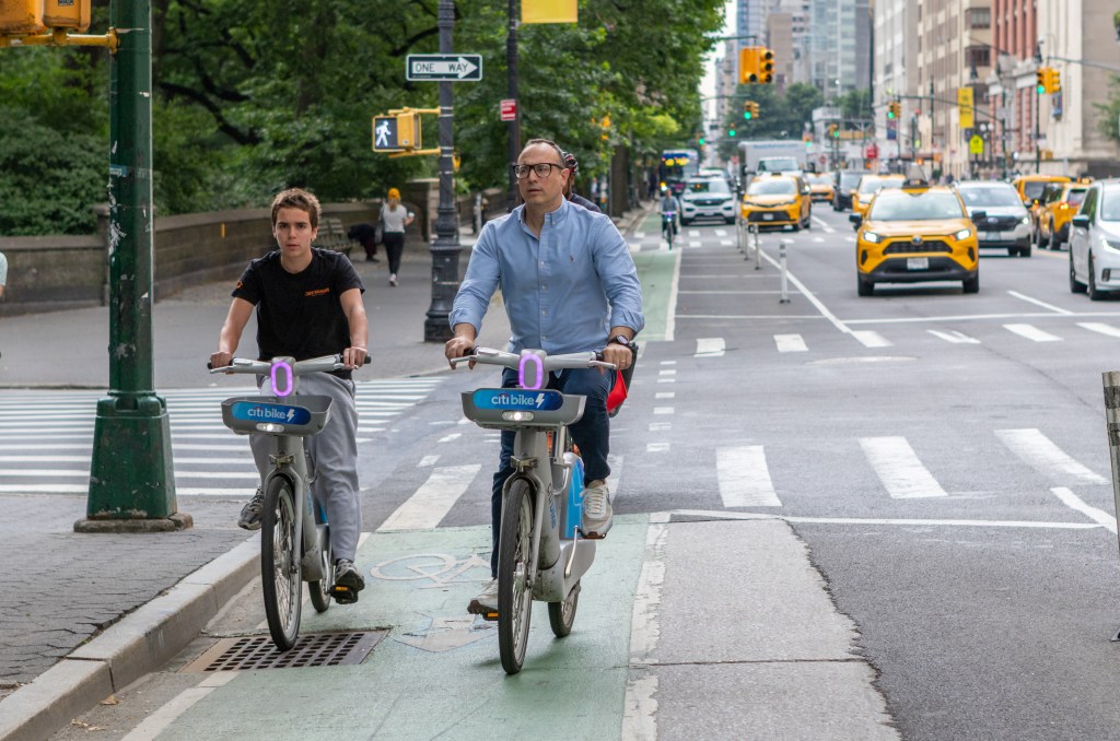
That’s one reason why Transportation Alternatives recently called for the next mayor to commit to transforming at least a quarter of the space that’s currently dedicated to private cars into public space by 2025. And part of that includes converting areas of asphalt, which are typically used for movement and storage of private vehicles, into public green space. One tree can remove the equivalent of 11,000 miles of car emissions from the atmosphere every year, according to TA’s report.
Key takeaways from the map
Brooklyn
In parts of East New York, which is majority Black and where the median income is $34,413, according to census data, the amount of tree cover is just 7.3 percent.
In parts of Sunset Park, a predominately Latino community, where the median income is $50,384, the amount of tree cover is 14.3 percent.
Comparatively, in parts of wealthy and disproportionately white Brooklyn Heights, which also sits next to the sprawling Brooklyn Bridge Park, the median income is as high as $146,574, and the amount of tree cover in that same tract is 25.2 percent.
One Sunset Parker told Streetsblog on Monday that families in his neighborhood, near 60th Street and Third Avenue, suffer from the lack of green.
“It’s really terrible,” said the resident, who gave his first name, David. “The kids and families in this area need a park to go to, and here in Sunset Park we’re pretty far from any nature. I think depressed areas like this one don’t focus enough on things like that.”
Queens
In parts of communities like Elmhurst and Corona — which suffered some of the highest rates of COVID-19, in part due to their historic lack of open space — the amount of tree cover is nearly half that what it is in areas like Forest Hills, where the median income reaches as high as three times as much.
Bronx
It doesn’t take a degree in geographic information systems to see that the often-neglected borough has the overall lowest amount of tree cover in the city. But even there, the disparity across income levels is eye-opening.
In Hunts Point, where the median income is $32,852, and where the childhood asthma rate is more than twice the city average, tree coverage is as low in some parts as 4.8 percent. But in Riverdale — where the asthma rate is significantly lower, according to city data — the amount of tree cover is as high as 50 percent.
— with Henry Beers Shenk

Read More:
Streetsblog has migrated to a new comment system. New commenters can register directly in the comments section of any article. Returning commenters: your previous comments and display name have been preserved, but you'll need to reclaim your account by clicking "Forgot your password?" on the sign-in form, entering your email, and following the verification link to set a new password — this is required because passwords could not be carried over during the migration. For questions, contact tips@streetsblog.org.