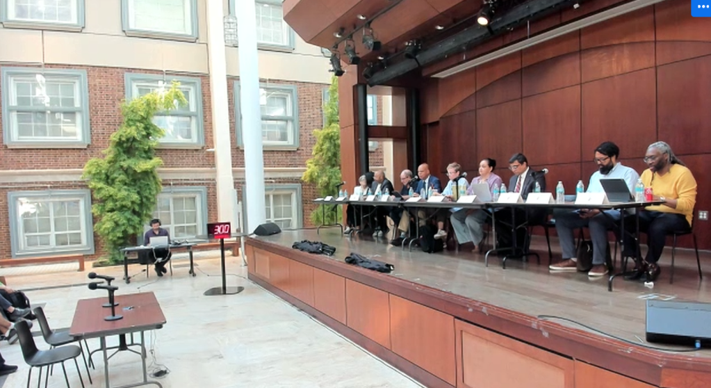
Planning Group: Cut Two Lanes When BQE is Rebuilt
The city should nix two lanes of traffic on the Brooklyn-Queens Expressway when it rebuilds the crumbling infrastructure in the next few years — a change that would reduce congestion and curb emissions emitted from the thousand of gas-guzzling trucks that travel it daily, according to a new report released Tuesday.
“New York should join the growing list of cities that are updating, scaling back, and in some instances, removing their highways,” said Tom Wright, president and CEO of the Regional Plan Association, the urban planning group. “With more cars on the road than ever, creating smog and limiting residents’ ability to get around, the revitalization of the BQE is a perfect time to reconsider the role of personal vehicles in New York, and stand with cities across the globe to prioritize smaller thoroughfares, boulevards and open green spaces.”
The RPA report [PDF] outlined policies the city, state, and feds should consider when rebuilding the 1.5-mile stretch of the six-lane highway between Atlantic Avenue and Sands Street. One of the main pillars was the passage of congestion pricing (mission accomplished). Here are the remaining two:
Two-way tolling on the Verrazzano Narrows Bridge
The state should reinstate two-way tolls on vehicles heading both to Brooklyn and Staten Island across the Verrazzano Narrows Bridge. Equalizing the toll in both directions should divert some Staten-Island bound cars to other routes, and away from the BQE. Currently, drivers only pay as they enter the Rock.
Expanded HOV 3+
The RPA urged the city to:
- Make the city’s free East River crossings — the Williamsburg, Brooklyn, and Manhattan bridges — all High Occupancy Vehicle-only. The city had similarly proposed making the Williamsburg Bridge HOV-only before Gov. Cuomo abruptly cancelled the L train closure. Implementing HOV-only lanes on the free East River bridges would cut traffic by 20 to 25 percent, sending fewer cars to the BQE.
- Also make the entirety of the BQE HOV-only for cars. The restriction would similarly reduce traffic by 20 to 25 percent on the expressway.
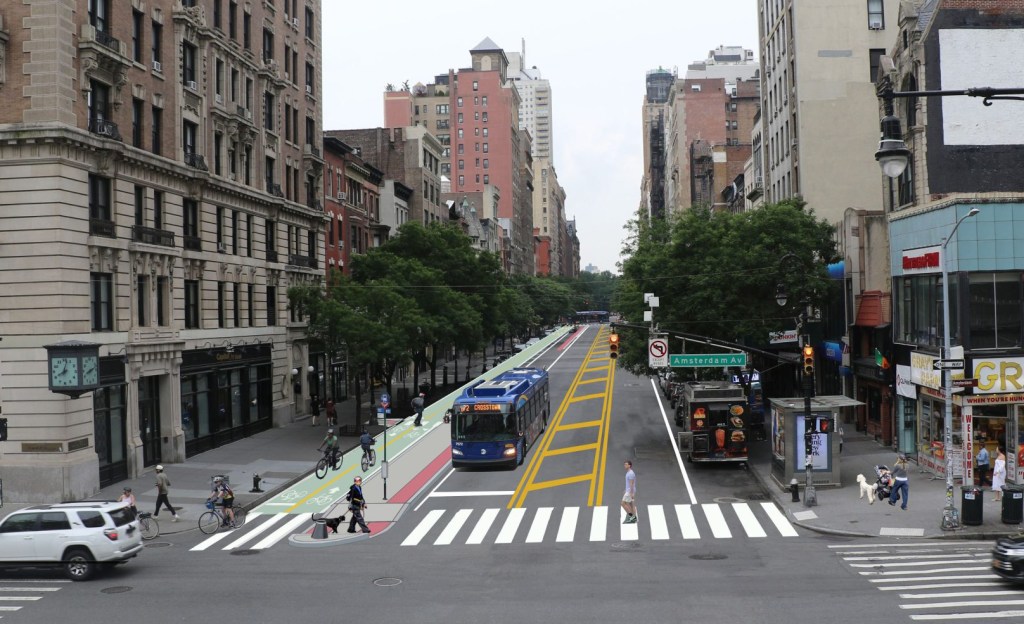
Once both strategies are in place, the city should rebuild the BQE with only two lanes in each direction. Eliminating space for cars has been shown to reduce the demand for it, known as “induced demand.”
“Evidence is mounting that removal of highway lanes results in reduced traffic and seldom results in the kind of congestion that is frequently feared,” the report states.
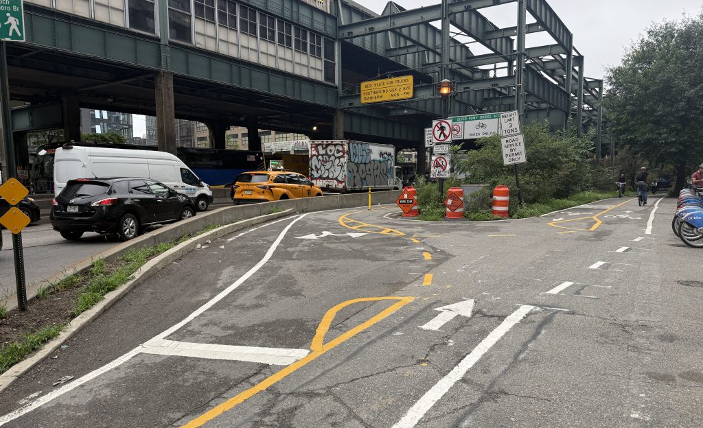
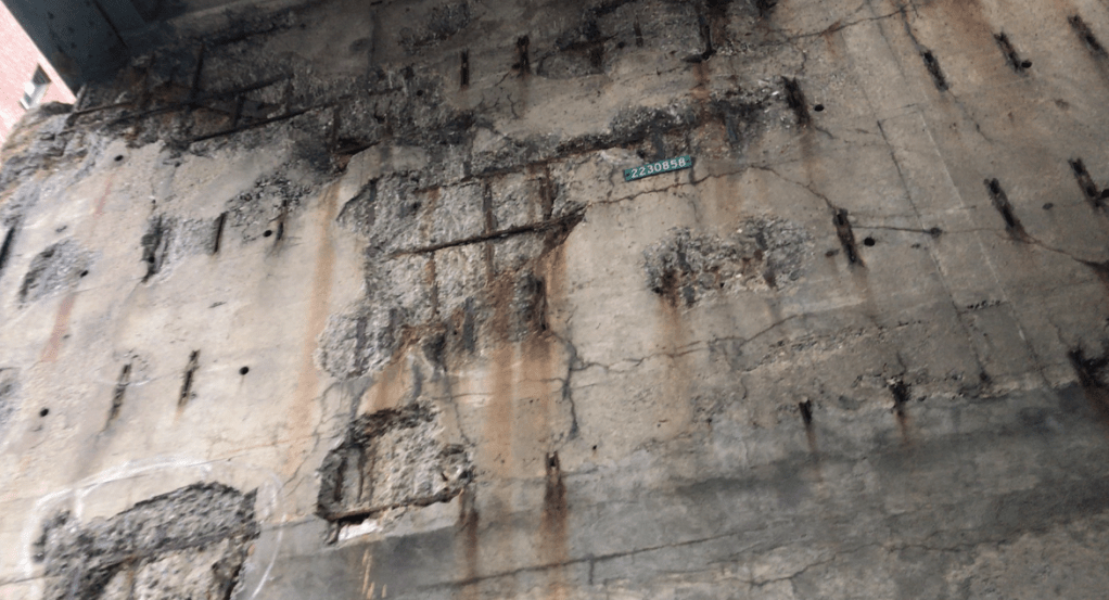
In September, the Department of Transportation proposed two equally expensive — and equally criticized — options for rehabilitating the Robert Moses-era triple cantilever that carries up to 153,000 vehicles per day: a temporary six-lane highway on the historic Brooklyn Heights Promenade until the old highway is completely rebuilt in place, or rebuilding the expressway lane by lane, potentially creating traffic jams for up to 12 miles.
Since then, politicians and local civic groups have been coming up with their own alternatives to the city’s more than $4-billion proposal. A local group fighting the city’s two options, A Better Way, tapped the Regional Plan Association to come up with its own suggestions.
The Association’s report follows Comptroller Scott Stringer’s proposal to turn the highway into a truck-only highway with a park on top, and Council Speaker Corey Johnson’s call to consider knocking it down entirely.
The RPA report, however, stopped well short of calling for the roadway to be eliminated, though it did feature an entire page devoted to five cities that removed their busiest highways for the benefit of urban dwellers.
“Cheonggyecheon Freeway [in Seoul] served 168,000 cars per day. It was torn down and is now a beautiful green space in the city and the city has increased transit significantly to accommodate traffic,” the report states.
The Department of Transportation said it is still reviewing all options, including those outlined in the RPA’s report.
“We are undertaking a thorough review process, accompanied by substantial community and expert engagement, that will look at a range of options for this critical transportation corridor,” said agency spokeswoman Alana Morales.

Read More:
Streetsblog has migrated to a new comment system. New commenters can register directly in the comments section of any article. Returning commenters: your previous comments and display name have been preserved, but you'll need to reclaim your account by clicking "Forgot your password?" on the sign-in form, entering your email, and following the verification link to set a new password — this is required because passwords could not be carried over during the migration. For questions, contact tips@streetsblog.org.