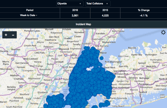
Last week, the NYPD unveiled an online view of "TrafficStat," the department's system for tracking traffic crashes. While the site has some data that's not available on DOT's Vision Zero View tool, it leaves a lot to be desired, according to the government accountability and transparency watchdog Reinvent Albany.
In a blog post today, Reinvent Albany notes that the TrafficStat site merely maps data that was already available. And crucially, NYPD's portal lacks data about where police are enforcing traffic laws, which the agency has refused to release for years.
Geo-tagged information about summonses remains the key missing piece of open NYPD data. Without it, the public has no insight into how traffic enforcement efforts are linked to crash-prone locations. Open data on summonses, says Reinvent Albany, would be "extremely useful to researchers who want to understand the connection between police enforcement and traffic injuries and deaths, and to advocates and community leaders who are concerned about the level of police traffic enforcement in their neighborhood."
Reinvent Albany also says NYPD needs to do a better job of making its underlying crash data publicly accessible. There is currently no way to get this data via the Traffic Stat site, event though it's available from the city's open data portal:
At the very least, the TrafficStat map ought to directly link to the data on the open data portal. Currently, users have to click “Additional Information” on the TrafficStat page, then click “Maps & Data”, and then scroll to the bottom of that page and click the link to the data in the disclaimer. However, this takes users to the Department of Transportation’s Vision Zero data set. It does not appear that the NYPD links to its own data (with summons) anywhere.
Ultimately, says Reinvent Albany, NYPD "should spend less time building new maps which lock up its data, and link users to the department’s accomplishments on the NYC open data portal."


