Portland Will Connect Streets Over a Highway With a Car-Free Bridge

Here’s one way to heal some of the damage created by urban interstates.
Jonathan Maus at Bike Portland reports that the city has won a $2.6 million state grant to help it complete a key bike route. To fill in the missing segment, Portland has to create a path across a big sunken highway. So the city will use the grant, combined with some local funds, to build a bike and pedestrian bridge over I-405.
Maus explains why this is such a smart investment:
Portland leaders have been working for over a decade to close this gap. Former mayor Sam Adams first proposed the idea of a new bridge over Flanders in 2006 when he was PBOT Commissioner. He continued to work on the project until his run for mayor in 2008 but was not able to make it happen.
According to the city’s grant application, the bridge would likely average about 3,000 crossings as soon as it opens as people shift their routes from the busy and high-stress crossings at Everett, Glisan and Couch. Once greenway elements like speed bumps, signage, and diverters are added to the street, it’s estimated that the new bridge would see 9,100 trips per day. That’s more than the amount of daily bike trips over the Hawthorne Bridge.
Given its low cost and high estimated usage (thanks to its location in dense northwest), we’ve reported that it could be the city’s best bridge project in years.
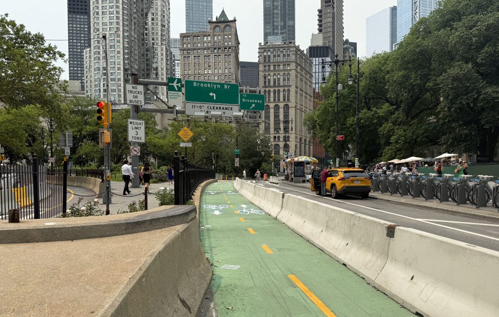
Many other American cities could stitch together their walking and biking networks by creating car-free crossings over highway trenches, if leaders make it a priority.
Elsewhere on the Network today: Stop and Move reports that California’s Amtrak lines are benefitting from Wisconsin’s refusal of federal High Speed Rail funding. And Transport Providence estimates how many parking spaces would have to be repurposed to create a high-quality citywide bicycle network.

Read More:
Streetsblog has migrated to a new comment system. New commenters can register directly in the comments section of any article. Returning commenters: your previous comments and display name have been preserved, but you'll need to reclaim your account by clicking "Forgot your password?" on the sign-in form, entering your email, and following the verification link to set a new password — this is required because passwords could not be carried over during the migration. For questions, contact tips@streetsblog.org.