Here's one more reason to get excited about the launch of bike-share later this year: the reams of data generated by the GPS units located in every public bicycle. The Department of Transportation will use that data to inform their bike lane planning, commissioner Janette Sadik-Khan revealed last night.
"It's going to be amazing to have GPS generated data for all these trips," said Sadik-Khan. "For planning purposes, it'll be huge."
Right now, data on individual bike trips are very scarce. While bike-share trips aren't representative of the larger set of bike trips, the ability to track exactly where a large set of riders bike and at what speeds could be quite valuable for bike planning. DOT has used taxi GPS data to measure traffic speeds in Manhattan and evaluate initiatives like the pedestrianization of parts of Broadway, and there's far more that can still be done with that kind of rich data set. Bike-sharing could start to build a similar toolkit for bikes.
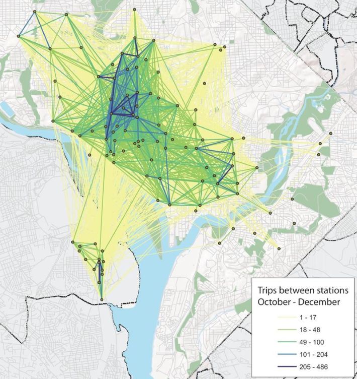
The GPS data, which will be owned by the city and made publicly available to the extent possible, will provide even more information than exists in other cities with bike-share. In D.C., for example, there's excitement about a new data set that only shows which stations Capital Bikeshare riders are traveling between, not their exact routes.
What would you do with bike-share GPS data? Let us know in the comments.


