When taking a tour of the Sheridan Expressway, the first thing you realize is that you're also taking a tour of the Bronx River Greenway. The two pieces of infrastructure -- one a 1.25-mile stub of highway, the other a still-piecemeal bike and pedestrian path reconnecting Bronx neighborhoods to the water -- both run through the low river valley. The greenway and the cleaned-up river, products of decades of community activism, are signs of the incredible revitalization of the South Bronx.
The transformations visible from the side of the highway also include shuttered factories that would be redeveloped as 1,200 units of new housing under a proposal by former City Council Speaker Gifford Miller. On a tour I took of the Sheridan and Hunts Point areas last night, the scent of hot dogs still hung over one former frankfurter factory that would be replaced with apartments and a new school.
The tour was part of the public process for a federally funded study currently being undertaken by the Department of City Planning. The study is meant to augment the state Department of Transportation's analysis of a Sheridan teardown by comprehensively and holistically imagining the potential redevelopment, parkland, and street improvements should the highway be torn down. The City Planning officials leading the tour were clearly already immersed in those possibilities, pointing out the properties and intersections that would be most affected by a highway removal, usually highlighting the positive.
Below are some photos I took on the tour, running roughly from the northern end of the Sheridan to the southern end.
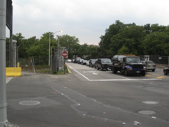
At the very northern end of the Sheridan, the highway turns into East 177th Street, a local road. Behind the chain link fence immediately to the left of the highway is a future entrance to the Bronx River Greenway, due to open in May. As long as the highway remains, pedestrians and cyclists using the greenway will have to navigate across the exiting traffic.
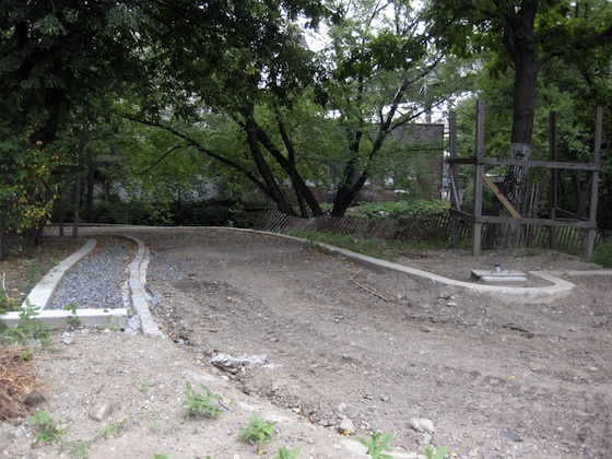
One block further north, the ongoing construction of the greenway is visible through a fence.
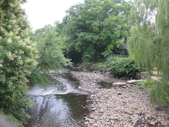
The Bronx River itself, seen here from East Tremont Street, is lush and green at this point in the summer. This location marks the southernmost sighting of José the Beaver, the first of his species seen in New York City in 200 years and a sign of the environmental rehabilitation of the river.
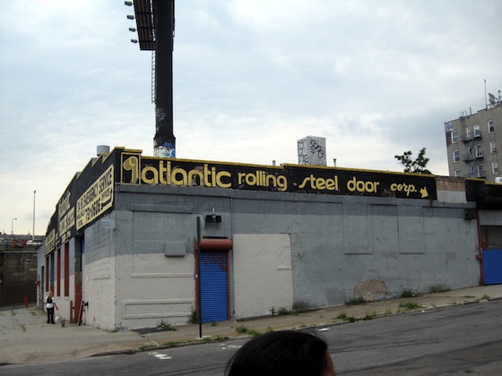
West Farms Road, which runs adjacent to the Sheridan, is largely developed with light manufacturing uses, along with a few small residences. Under a proposal by former City Council Speaker Gifford Miller, now a real estate developer, much of the road, including this site just across the street from the Sheridan, would be rezoned for larger-scale residential uses with ground-floor retail. Miller's plans will be included in the city's Sheridan study, said tour leader Vineeta Mathur, as the knowledge that someone already wants to redevelop the area is relevant to any plan for the neighborhood's future.
Sheridan study project manager Tawkiyah Jordan told tour participants to imagine this building full of families who might want better air quality and more access for their children to the parkland across the highway.
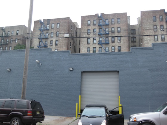
A few blocks west of the Sheridan, large apartment buildings are the dominant building type. Next to the highway, it's mostly one-story industrial uses.
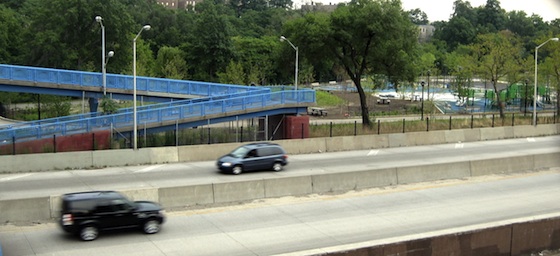
Right now, the only connection to Starlight Park, which is currently being completely reconstructed, is across a single bridge over the Sheridan at 174th Street. When the new park opens, it will be a major amenity for the neighborhood, though one relatively hard to reach.
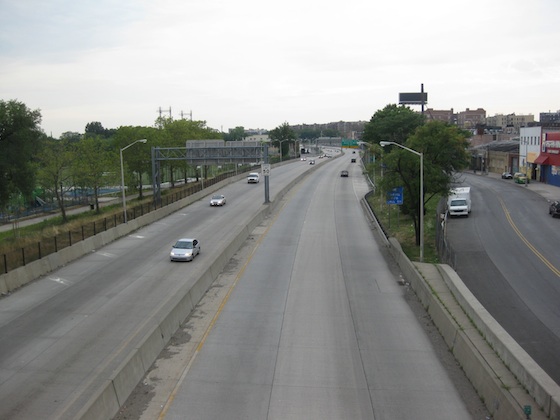
From the 174th Street Bridge, you can look directly down onto the Sheridan. This photo was taken at roughly 6:50 p.m. Traffic was still crushed on the Cross-Bronx Expressway, but light on the Sheridan.
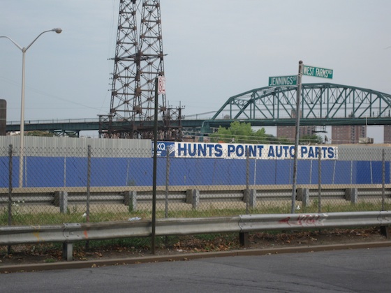
This car parts salvage yard is surrounded by the Sheridan on one side and freight tracks on the other. Jordan noted that if the Sheridan were removed, it would suddenly be connected to the neighborhood, completely changing its development possibilities.
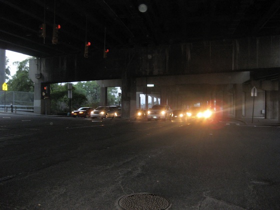
Here, an off-ramp from the Sheridan runs freely onto local streets, without a stop sign or traffic light to slow traffic. Two more one-way streets merge with the off-ramp to create what Mathur called extremely dangerous conditions for pedestrians. Half a block back from this intersection is a playground.
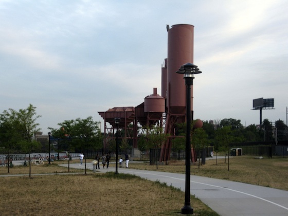
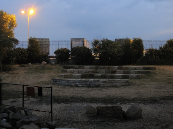
After crossing over the Sheridan, we walked through Concrete Plant Park, a major piece of the Bronx River Greenway. An active concrete production facility until 1987 and a brownfield afterwards, the site was transformed into a beautiful park, complete with salt marshes at the riverside and a boat launch. The state DOT is currently trying to connect Concrete Plant Park and Starlight Park with another stretch of greenway using eminent domain and bridges over train tracks. At the southern end of Concrete Plant Park, however, the greenway dead-ends directly into Bruckner Boulevard and the Bruckner Expressway.
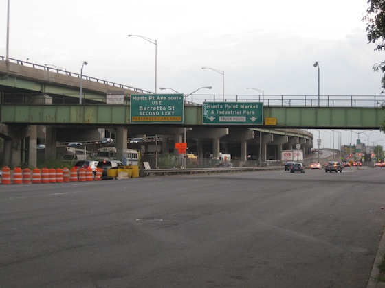
The interchange between the Sheridan and Bruckner Expressways is at the heart of the state DOT's plans for the area. Whether or not the Sheridan remains, the state DOT is planning a series of improvements to the Bruckner at this location to allow traffic to move more smoothly. A new off-ramp from the Bruckner will allow trucks to exit directly to the Hunts Point Food Distribution Center, which handles 60 percent of all New York City's food, potentially providing truckers an alternate route instead of using the Sheridan and then local streets.
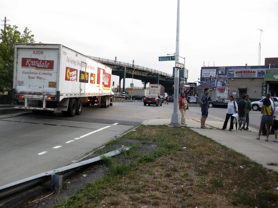
To cross onto the Hunts Point peninsula from the nearest subway station requires crossing six lanes of traffic in each direction. These cars are about to enter the on-ramp for both the Bruckner and the Sheridan. Drivers, ready for the highway, floor it. The pedestrian crossing time appeared to be about thirty seconds long. Long-time Hunts Point residents and workers on the tour said this crossing was a consistently terrifying scramble.
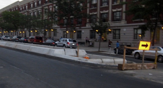
Along Hunts Point Avenue, construction is underway for a planted median that will be part of the South Bronx Greenway. The median will add greenery to the neighborhood and have a traffic calming effect. Some hope that it will dissuade trucks from using this street, which is not a truck route, to get to the market.
Trucks at the Food Distribution Center are visible behind Hunts Point Riverside Park, illustrating the central challenge of the Sheridan area. The city does not want to reduce truck access to the food market, which employs 10,000 people directly, tens of thousands more indirectly, and feeds the city. Many of those trucks currently use the Sheridan. The city hopes that the needs of the market and of the neighborhoods can both be met, as at this park.
All photos: Noah Kazis
