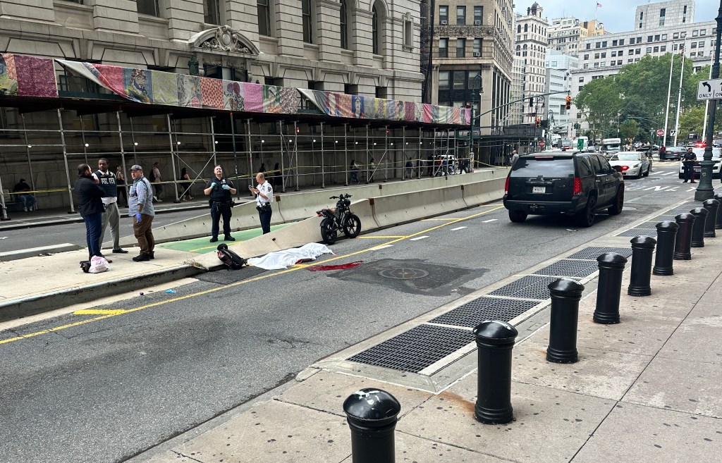
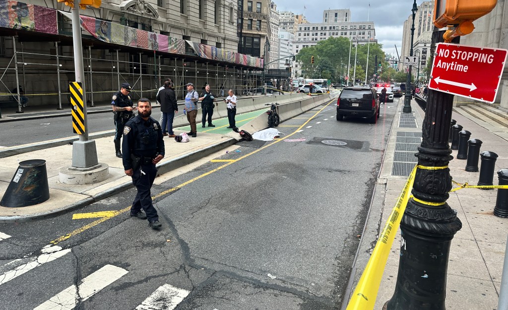
Best View Yet of Potential Transit Improvements
![]()
View an enlarged version of this map
Together at last: Pre-congestion pricing short-term transit enhancements and MTA capital projects in one map! The graphic comes courtesy of the Regional Plan Association, which made the map for an insert touting pricing [PDF] placed in the Legislative Gazette this Monday by Environmental Defense, TWU Local 100, and the Straphangers Campaign. This is what’s at stake in Monday’s City Council vote.

Read More:
Streetsblog has migrated to a new comment system. New commenters can register directly in the comments section of any article. Returning commenters: your previous comments and display name have been preserved, but you'll need to reclaim your account by clicking "Forgot your password?" on the sign-in form, entering your email, and following the verification link to set a new password — this is required because passwords could not be carried over during the migration. For questions, contact tips@streetsblog.org.