City Plans Avenue C, Houston Street Protected Bike Lanes
The city will establish bike lanes on two Lower East Side streets when the East River Greenway closes in coming months for a major flood-remediation project.
The Department of Transportation plans to present the proposal for permanent protected bike lanes on Avenue C and on the extreme end of Houston Street to Community Board 3’s transportation committee meeting next month, a spokeswoman said. The lanes will run on Houston from Second Avenue to the waterfront and on Avenue C from Houston north to 20th Street, enabling cyclists traveling from below Houston on the existing bike lanes on Pike and Allen streets to connect with the bike network further north, according to an official with knowledge of the plan.
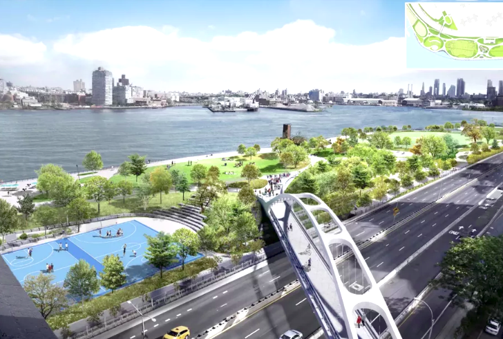
The DOT’s proposal for the bike infrastructure comes as the city is set to begin the East Side Coastal Resiliency Project, a four-year, $1.45-billion scheme to raise the height of the East River Park to ward off climate-linked flooding. The park holds part of the greenway, a 9.4-mile mixed-use path that functions as an important north-south route for bike commuters and recreational cyclists. The project will close the park and its part of the greenway — about 2.5 miles of coastline — in stages starting in the spring and lasting until at least 2025. (The timeline got pushed back from a fall start because of the coronavirus pandemic.) Cyclists have long voiced concerns that the project would shunt them onto unsafe city streets.
“It’s clear these protected bike lanes could play a critical role in saving the lives of my constituents. And they are coming at this critical time, thanks to the hard work we put in to ensure the city made big commitments for our local parks, streets, and NYCHA developments,” said Council Member Carlina Rivera, who with fellow LES lawmakers negotiated the bike lanes as part of a package of community benefits to ameliorate the park reconstruction for residents.
Local cyclists, who have agitated for protected bike lanes on several Alphabet City avenues because of the danger of those streets, expressed cautious optimism about the DOT’s plan.
“I’m looking forward to Avenue C living up to the global standard of a protected bike lane, as opposed to the existing discontinuous painted lanes, which have been completely ignored by drivers for years,” said local cycling activist Sophie Maerowitz.
Maerowitz said, however, that safety considerations should force the DOT to expedite its proposal.
“What happens if the community board asks for an amended proposal before approving, and the DOT has to wait months until its next presentation?” she said. “If there’s a gap in time between the East River path closing and the new lanes coming in, a vast number of cyclists and micromobility users are going to be without safe passage on the East Side, which is terrifying given how much traffic violence we’ve seen this year alone.”
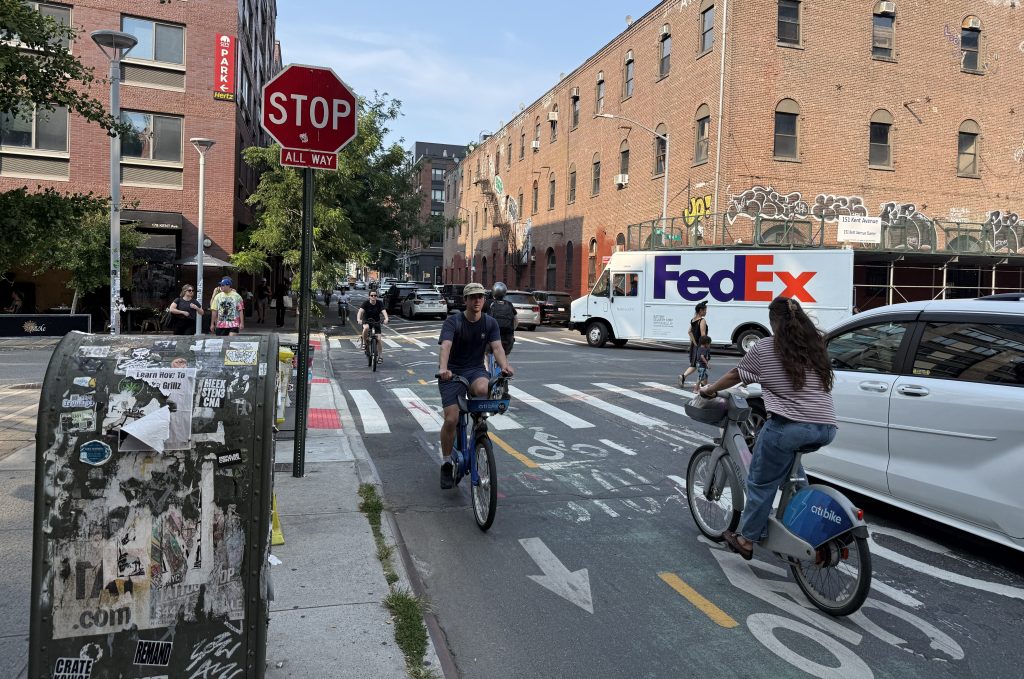
In the last 12 months, CB3 has experienced 1,994 vehicle crashes, killing one pedestrian and injuring 142 cyclists, 147 pedestrians and 323 motorists, according to Crashmapper. Houston Street (a truck route) is the epicenter of many crashes and has seen an epidemic of speeding during the pandemic, locals report. Other dangerous arteries in the confines of the community board include Canal and Delancey streets (a protected bike lane on Pitt Street, which is the continuation of Avenue C south of Houston Street, was in the works earlier this year). Community Board 3, which encompasses 1.7 square miles and about 165,000 residents, runs from Third Avenue east to the FDR Drive, and north from Brooklyn Bridge to 14th streets. The greenway was used by about 2,000 cyclists daily before the pandemic cycling boom.
Local cycling advocates originally had pushed to get a protected bike lane on Avenue B which, unlike Avenue C, is not a bus route. But the city made Avenue B an “open street” in the summer as part of its pandemic social-distancing measures. Now the focus is to make Avenue B a permanent open street, similar to the effort to keep Berry and Driggs streets in Brooklyn open permanently and a similar approach on Queens’s 34th Avenue, Maerowitz said.
The resiliency project has provoked controversy since it was announced in 2018 as a measure to control the kind of catastrophic flooding that inundated the Lower East Side during 2012’s Superstorm Sandy. Residents protested the four-year closure of the park even as the adjacent highway, the FDR Drive is to remain open for vehicle traffic. The East River Park runs from Corlears Hook below the Williamsburg Bridge up to about 14th Street and contains ball fields and an amphitheater, among other recreational facilities. Notwithstanding the concessions the city made to the community, local groups opposed to the project sued to stop it; the suit was thrown out.

Read More:
Streetsblog has migrated to a new comment system. New commenters can register directly in the comments section of any article. Returning commenters: your previous comments and display name have been preserved, but you'll need to reclaim your account by clicking "Forgot your password?" on the sign-in form, entering your email, and following the verification link to set a new password — this is required because passwords could not be carried over during the migration. For questions, contact tips@streetsblog.org.