TO END THE MESS: Make the Brooklyn Bridge Car-Free
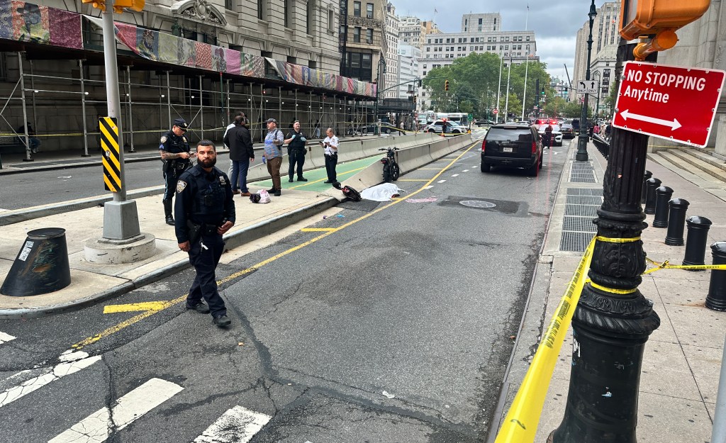
As the de Blasio administration punts on fixing the dangerously overcrowded shared pedestrian-bike path of the Brooklyn Bridge, and the mayor’s would-be successors offer vague nostrums about giving more bridge space to people, designers have been discussing another, visionary, solution: making the Brooklyn Bridge car-free.
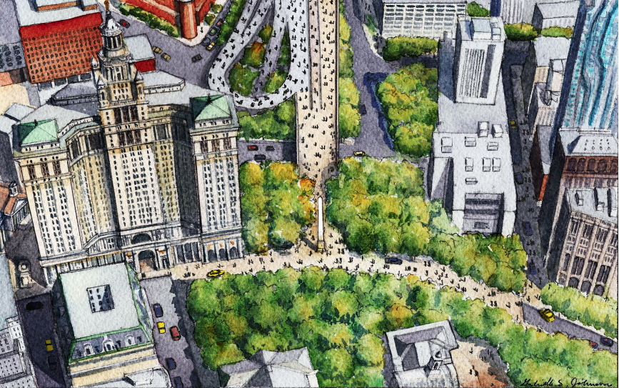
John Massengale, an architect and urban designer whose office overlooks City Hall Park and the bridge, began exploring the idea of a car-free Brooklyn Bridge in 2017, when his firm, Massengale & Co, made a watercolor sketch of it for the Financial District Neighborhood Association (below), as a consultant for Buro Happold.
At the time, FDNA was proposing to create a large “slow zone” in Lower Manhattan. The plan, “Make Way for Lower Manhattan,” has since been put on hold, but Mayor de Blasio made it part of his Green New Deal program.
“Make Way for Lower Manhattan” called for a history trail from City Hall and the Municipal Building to the Battery, similar to Boston’s Freedom Trail. One obstacle, however, is the stream of car traffic to and from the Brooklyn Bridge, which moves on highway-scale ramps and roads built by Robert Moses (who tore down many blocks of beautiful, old buildings to make way for the cars).
The watercolor made by Massengale’s office showed that the Brooklyn Bridge’s traffic could be handled by existing ramps that turn back toward the east side of Manhattan. It further envisioned the creation of a civic space between City Hall and the Municipal Building, at the foot of Brooklyn Bridge.
The 2019 discussions around the proposed $8-billion revamp of the ailing Brooklyn-Queens Expressway (another Moses creation) gave the idea further impetus.
This year, as part of a Van Alen Institute competition, ”Reimagining the Brooklyn Bridge,” Massengale’s office made several new drawings. (The firm didn’t win.)
For the drawings, the firm assumed that in 20 years the BQE would be abandoned or buried; it pictured the removal of half the ramps removed on the bridge’s Manhattan side and all on the Brooklyn side. One drawing (below) envisioned that the newly vacant land around the foot of the bridge in Brooklyn could be used to expand Cadman Plaza Park and create a “green gateway” for Brooklyn.

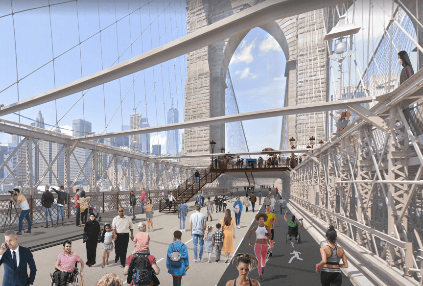
The firm proposed that the bridge’s southern roadway, facing the harbor, be used for walking and running, with the northern side given to cyclists. The existing walkway in the middle would remain with expanded areas for food carts and other amenities. (See lead image.)
“The plans to expand the city parks at each end of the bridge are long-term ideas,” Massengale said. “But we could put Jersey barriers at each end of the bridge today and instantly make a pedestrian and cycling paradise on the bridge.”

Read More:
Streetsblog has migrated to a new comment system. New commenters can register directly in the comments section of any article. Returning commenters: your previous comments and display name have been preserved, but you'll need to reclaim your account by clicking "Forgot your password?" on the sign-in form, entering your email, and following the verification link to set a new password — this is required because passwords could not be carried over during the migration. For questions, contact tips@streetsblog.org.