Op-Ed: Bike Lane Missing? Danger Found
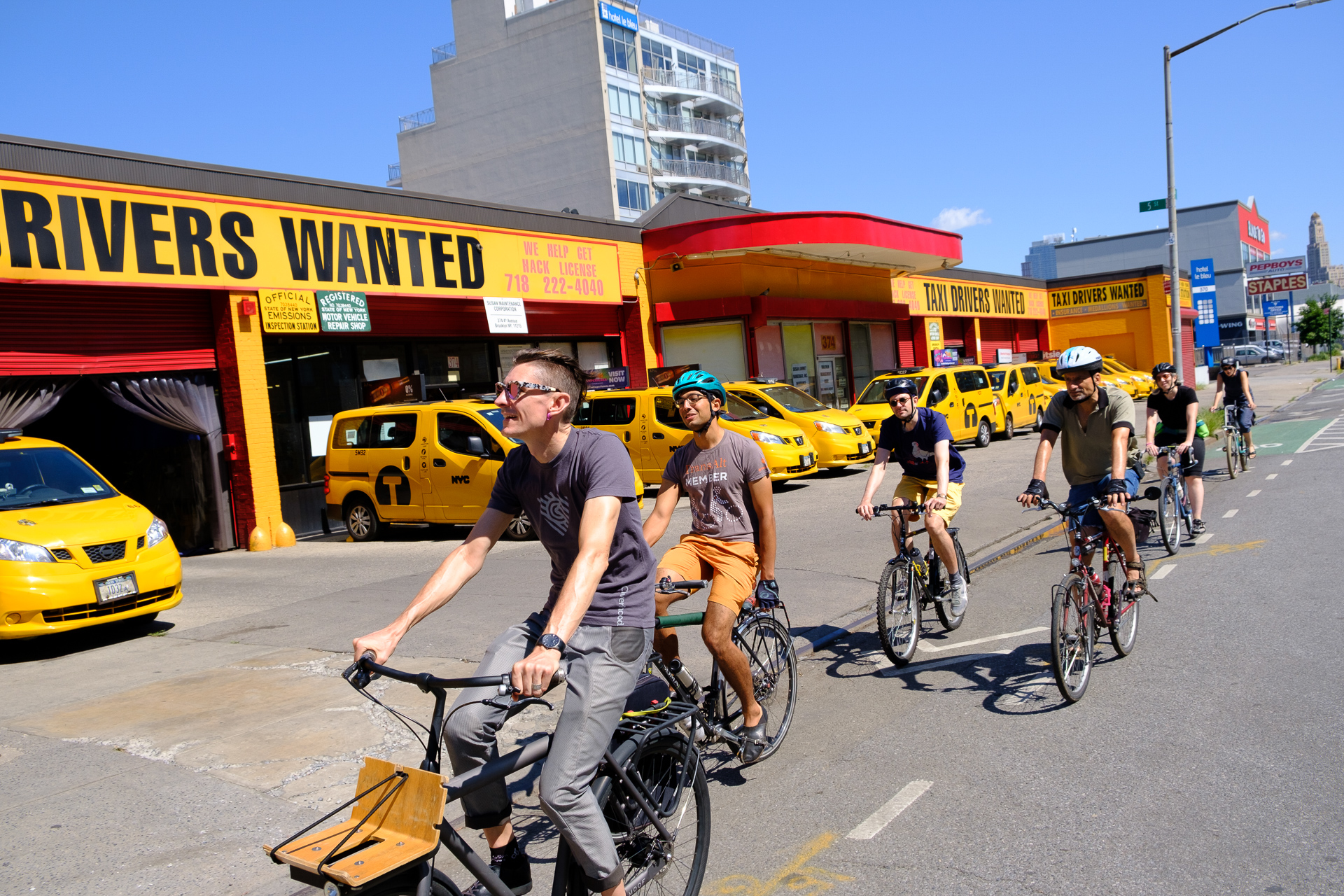
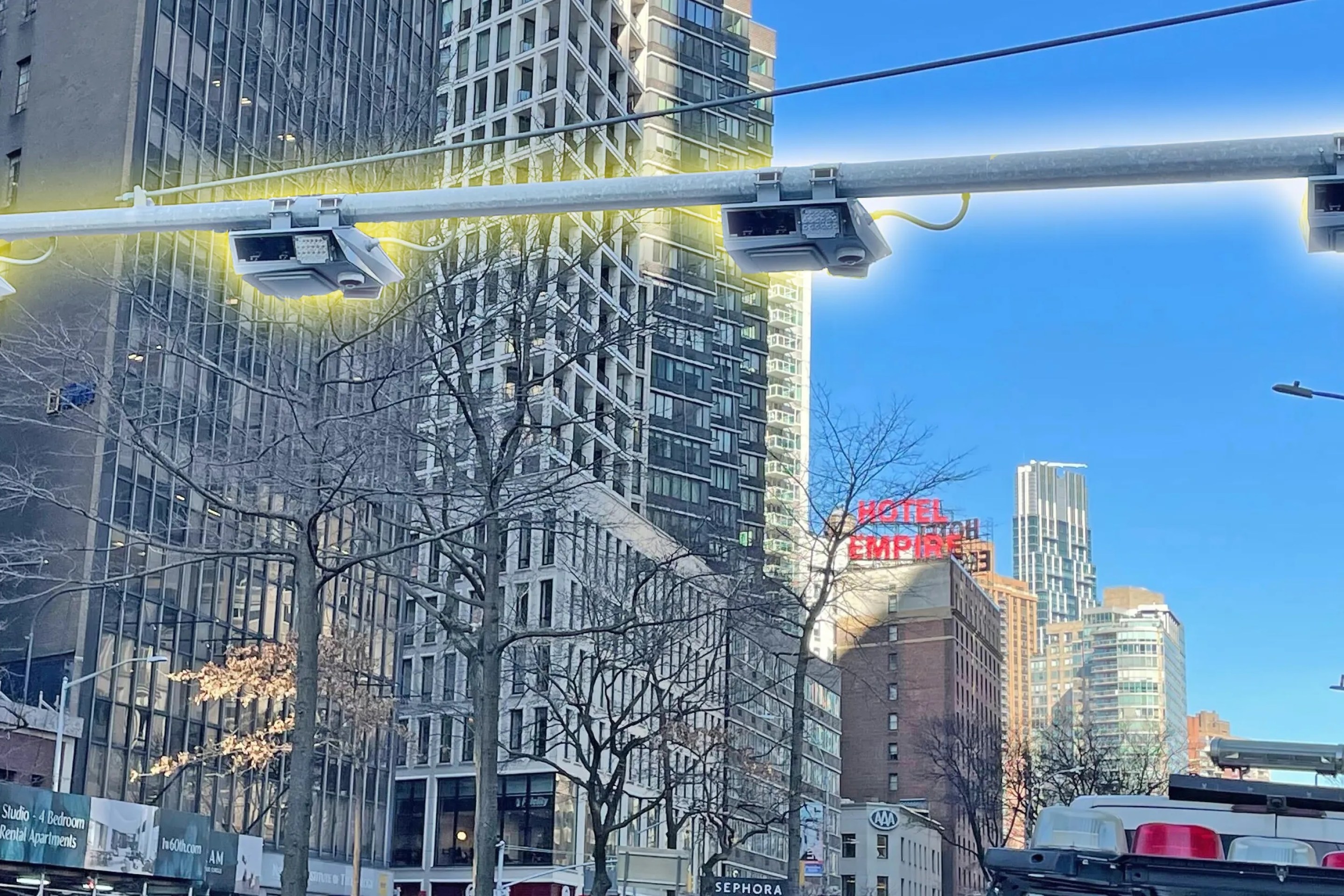
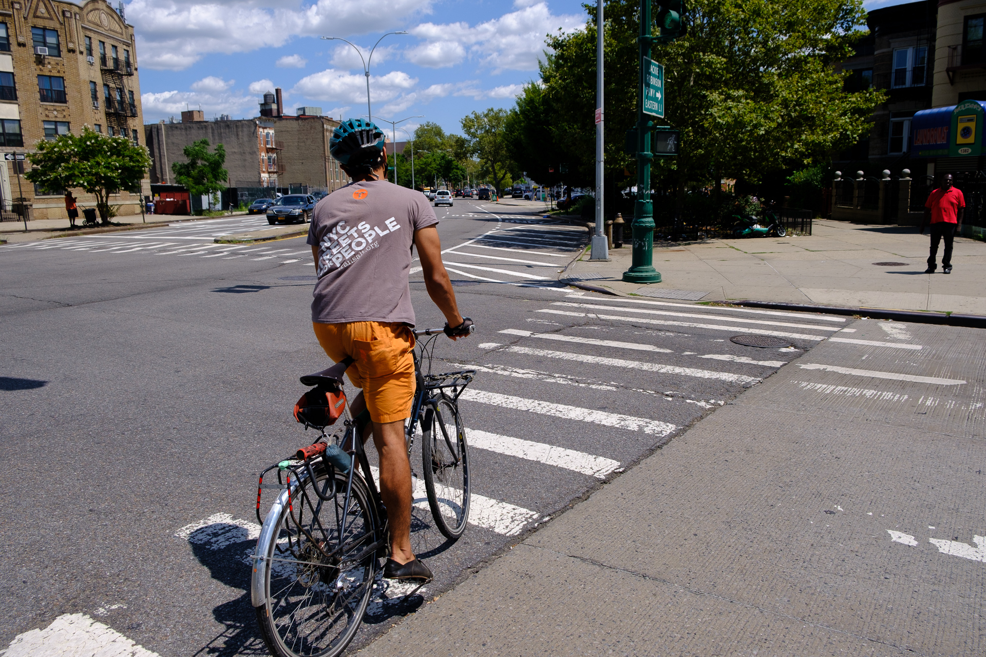
On a mission: The “Missed Connections” ride took bikers to a number of dangerous — but easily fixed — Brooklyn locations. Here, however, they are riding in the 4th Avenue protected bike lane. Photo: Vladimir Vince
Bike lanes that merge into high-speed traffic. A parking lot that dumps cars into a bike lane. A dedicated bike lane that suddenly disappears — throwing cyclists into the vehicle lane.
These are just some of the dangers experienced by nine cyclists who met recently for a group ride around Brooklyn — the site of 14 of the 19 cyclist deaths in the city this year.
The ride was a part of Transportation Alternatives’ ongoing Missed Connections campaign, which aims to highlight small changes the Department of Transportation could make in order to improve the safety of Brooklyn’s bike network — such as connecting two bike routes or fixing a conflict-ridden intersection.
The ride was not only undertaken to highlight the carnage on New York City roadways this year but to underscore how many "missed connections" there are in this city — places where cyclists realize that there's not so much a bike "network" as a series of streets that sometimes connect to form usable routes, but most often don't.
That's the fault of a DOT that does a great job building stretches of protection for cyclists and pedestrians — but then does a cursory job connecting those stretches (looking at you, Greenpoint Avenue between McGuinness Boulevard and Manhattan Avenue — a crucial missing link for east-west travel between Brooklyn and Queens).
Filling those missing gaps has long been a stated goal of the Department of Transportation, most recently in Mayor de Blasio's "Green Wave" plan. The agency boasts that it has added "an average of 62 miles of bicycle lanes a year for the last three years, the largest increase in the country" and that it has created "a network of 480 protected lane miles."
But even the DOT knows that a network is not safe if there are gaps, which is why the agency now says it will "cover the city with safe and comfortable bicycle infrastructure by 2030." That's 11 years — and more than 100 cyclists deaths — away.
So that's why we rode through Brooklyn, which has arguably the highest number of cyclists and, arguably, the most disappointing gaps. The trip was illuminating — and harrowing! Here’s what we found:
Smith Street/Jay Street
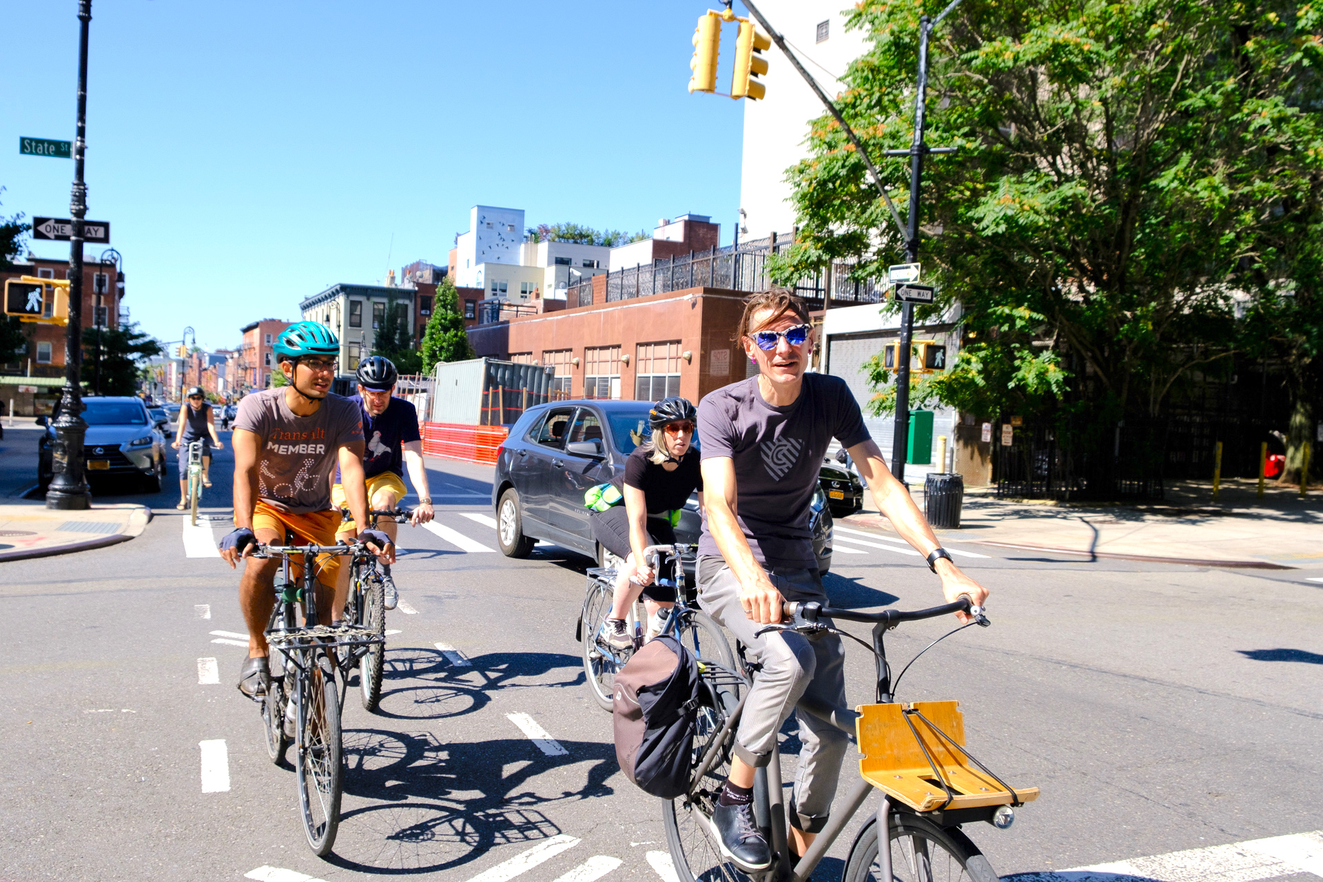
The group met at the corner of Smith Street and Atlantic Avenue in Downtown Brooklyn — a main thoroughfare for bike commuters heading toward the Brooklyn and Manhattan bridges during the morning rush.
It’s also the start of the Smith Street/Jay Street corridor — which got a partially protected bike lane a few years ago. Unfortunately, large parts of the route — which many cyclists call "the sluice" because of how it resembles a narrow ramp in a slaughterhouse — remain marked only by sharrows.
Especially bad is the section of Jay Street between Atlantic Avenue and Fulton Street, where cyclists are pushed into traffic while dodging cars exiting a garage, a parking lot, a dollar-van pickup spot, and three bus stops!
DOT announced some improvements to Jay Street in May, but now says it has "no timeline" for additional fixes. As a result, this area remains dangerous for anyone on wheels or feet.
Henry Street and the 'Amity Street Wiggle'
Continuing west, we found ourselves on Henry Street, a relatively calm north-south connector with a painted bike lane that suddenly disappears at Amity Street. We halted our bikes, wondering why the green bike-lane paint stops at the intersection.
Suddenly, a for-hire-vehicle driver began honking loudly, venting his anger at a cyclist who had merged into what the driver obviously considered was "his" lane. Happily, the cyclist wasn’t intimated by the driver; he took the lane confidently and rode off down the street.
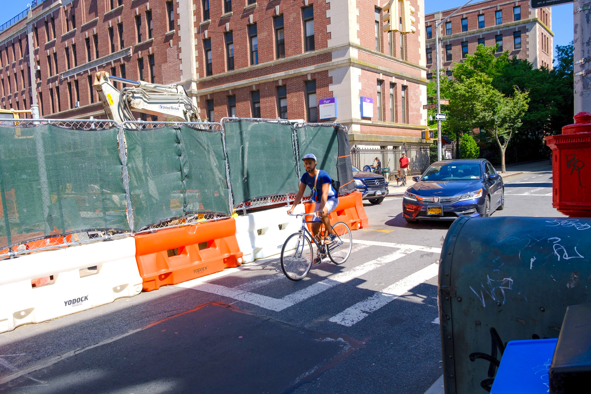
Looking south, we noticed that the street narrows, which is probably why DOT decided to drop the bike lane. Often it seems that DOT would rather compromise safety for cyclists than anger the car-owning minority by eliminating parking or narrowing the vehicle lane. Henry Street definitely could use a road diet so that DOT can complete the bike lane. Right now, only a few signs indicate that Henry Street is a bike route.
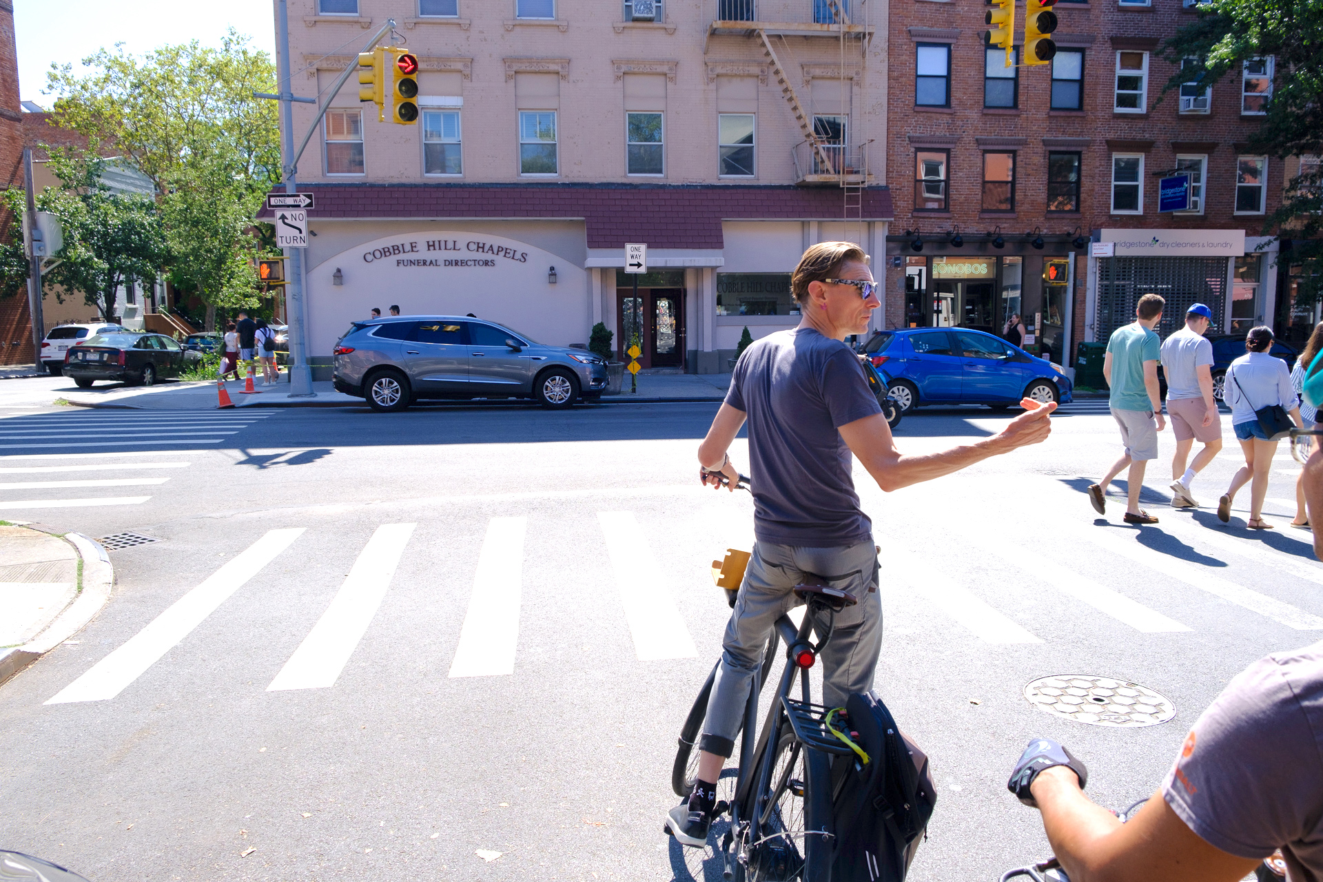
We turned left on Amity Street towards Court Street, where cycling activist Ian Dutton showed us the “Amity Street Wiggle” — a hard-to-believe spot where cyclists are given a bad choice if they want to continue traveling east: either they have to go the wrong way on Court Street for about 20 feet if they want to continue as Amity turns into Dean Street or they have to go two blocks out of their way (on dangerous Court Street!) to get to Wyckoff Street.
Activists are urging DOT to legalize this now-illegal cyclist/pedestrian crossing and make it safer by installing infrastructure. They want a buffered bike lane, a concrete pedestrian island, and painted signs. DOT has agreed to make the changes, but has been stalling, Dutton says. Get to it, DOT!
Prospect Park to Argyle and Rugby Road bike lanes
We took the new protected bike lane southbound on Fourth Avenue and then on Ninth Street toward Prospect Park. CitiBike does not provide service south of Prospect Park, but the area does contain some fairly reliable bike routes.
Getting to the routes from the park itself is difficult, however: DOT’s official bike map recommends riding through the parking lot next to the Parade Ground, then biking on the sidewalk for about 30 feet and, finally, traversing the crosswalk onto Caton Avenue, a designated local truck route. Got that?
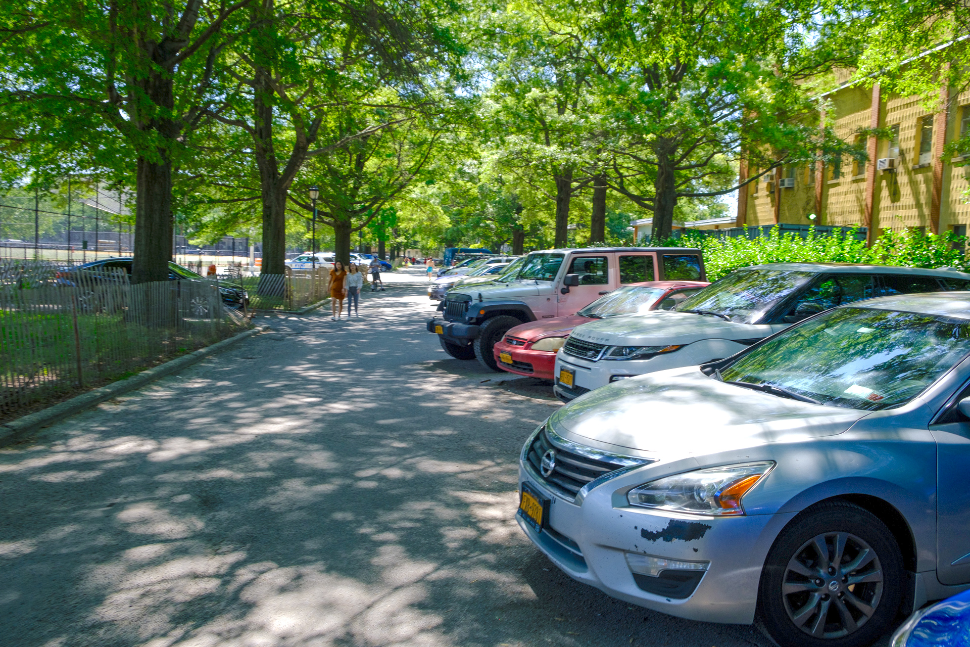
Even so, allowing cyclists and pedestrians to traverse the parking lot improves the situation of some years ago, when cops used to ticket people for going through the parking lot after sunset. And the alternate route south is the blood-soaked Coney Island Avenue — where drivers have mowed down many pedestrians and cyclists, including the horrible crash that recently killed cyclist Jose Alzorriz.
The parking lot itself is still dangerous, though — Parks Department and NYPD staff drive aggressively there, with little regard for pedestrians, cyclists, and the children using the Parade Ground sports fields. DOT could improve the parking-lot route by marking it better and widening the walkway on Caton Avenue in order to create more space for bikes. Mayor de Blasio could also eliminate parking spaces that encourage cops to use their cars to commute. There is a subway stop two blocks away and several bus lines.
Eastern Parkway to Pitkin Avenue
Looping around the park and exiting onto Washington Avenue, we headed for the shared bike-pedestrian path in the southbound median of Eastern Parkway for two-and-a-half miles of uninterrupted riding toward Brownsville. But at Ralph Avenue, protection for cyclists ends abruptly, dumping bike riders onto either Ralph Avenue or Pitkin Avenue, a two-way street that motorists coming off Eastern Parkway use as an exit. We had to take a sharp turn and merge with high-speed traffic.
DOT ought to improve the dangerous Pitkin intersections at East New York and Howard avenues. It also should install a two-way bike lane between the Eastern Parkway bike path and Pitkin Avenue.
In all, we biked 16 miles and learned a lot about the dangers of Brooklyn streets. We hope that DOT can make these relatively easy fixes soon — before another cyclist or pedestrian dies.
Vladimir Vince is a cycling activist in Brooklyn. His is on Twitter as @mejs.
Stay in touch
Sign up for our free newsletter
More from Streetsblog New York City
Stockholm Leader’s Message to NYC: ‘Congestion Pricing Just Works’
"In Stockholm, people really thought that congestion pricing would be the end of the world, the city will come to a standstill, no one would be able to get to work anymore and all the theaters and shops would just go bankrupt. None of that happened."

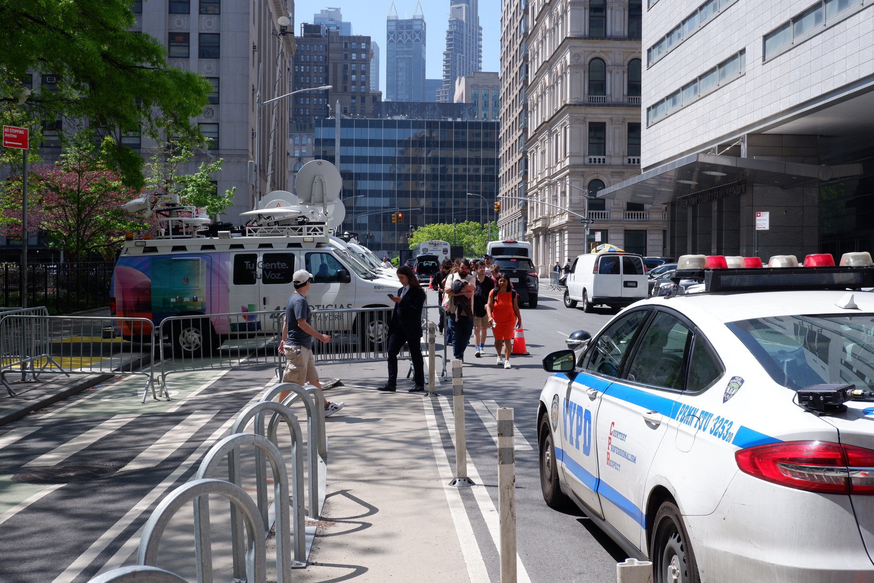
Friday’s Headlines: Trump Trial Trumps Safety Edition
Is anyone going to bother to fix the dangerous mess on the streets and plazas around the Trump trial? Plus more news.
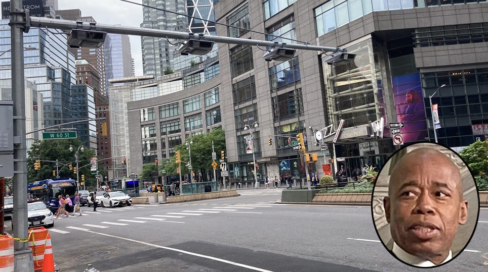
Adams Offers Bare Minimum to Seize Congestion Pricing’s ‘Space Dividend’ Opportunity
The mayor's list of projects supposedly meant to harness congestion pricing's expected reduction in traffic is mostly old news, according to critics.
OPINION: Congestion Pricing Will Help My Family Get Around As We Navigate Cancer Treatment
My partner was recently diagnosed with cancer. Congestion pricing will make getting her to treatment faster and easier.