Skip to Content
Streetsblog New York City home
Log In
Streetsblog

Visualizing LA’s 18.6 Million Parking Spaces as One Enormous Blob

Here's how much space it would take up if all of L.A. County's parking spaces where pushed together. Map by Shane Phillips, Better Institutions
Here's how much space all of L.A. County's parking spaces would take up if they were pushed together. Map: Shane Phillips/Better Institutions
false

Here's a great visualization of how much land parking spaces consume in our cities, via Shane Phillips at Network blog Better Institutions.

Inspired by a post from Copenhagenize, Shane created a map showing the collective size of Los Angeles County's 18.6 million parking spaces (as estimated by the American Planning Association) if they were arranged side by side, assuming each one is 300 square feet.

When you step back and look, he writes, it's pretty amazing:

This imaginary parking lot, which is 16 miles in diameter, is enough to completely wipe out downtown LA, Boyle Heights, Chinatown, Koreatown, Westlake, Glassel Park, Silver Lake, and Echo Park; most of South LA; Hollywood, West Hollywood, and Beverly Hills; Mid-Wilshire; Culver City; most of the Westside; and all of USC, UCLA, and Griffith Park. Rather than getting you from Downtown to Santa Monica, the 10 would get you from one end of the parking lot to the other. On the bright side, there would be plenty of parking for the beach, LAX, and the Rose Bowl Parade -- though walking from the lot might take you a few hours.

No one's arguing that all 18.6 million parking spaces in Los Angeles are a waste; there's an obvious need for parking, and for the automobiles that require them, in a variety of circumstances. But put together, this 200 square mile area is home to about 2.3 million people, 900,000 homes, and near one million employees. And without so much parking it could be home to many more, at a time when our region is struggling with an unprecedented housing shortage, booming population, and a strong economy.

Elsewhere on the Network today: The Urbanophile talks to Buffalo Mayor Byron Brown about the city's bold new "Green Code." BTA explains how some Oregon residents are fighting to ensure a safer Tualatin Valley Highway for people who bike. And Cyclelicious explains how biking can reduce vision problems.
Stay in touch

Sign up for our free newsletter

More from Streetsblog New York City

Money for Something: Funding OK’d, But Details Missing For ‘Dept. Of Sustainable Delivery’

The mayor got the Council to sign off on $6.1 million for the long-awaited “Department of Sustainable Delivery." But what's it mean? No one is talking.

July 1, 2025

Incoming Albany Mayor Could Help Safe Streets Movement Statewide

The state capital is built for the car and that is how it is experienced by our lawmakers. But could that change under a new mayor? Here's hoping.

July 1, 2025

Tuesday’s Headlines: Another Child Sacrificed to the SUV Edition

Stop de kindermoord! An 8-year-old boy killed by an SUV driver is the latest victim of America's obsession with big cars. Plus other news.

July 1, 2025

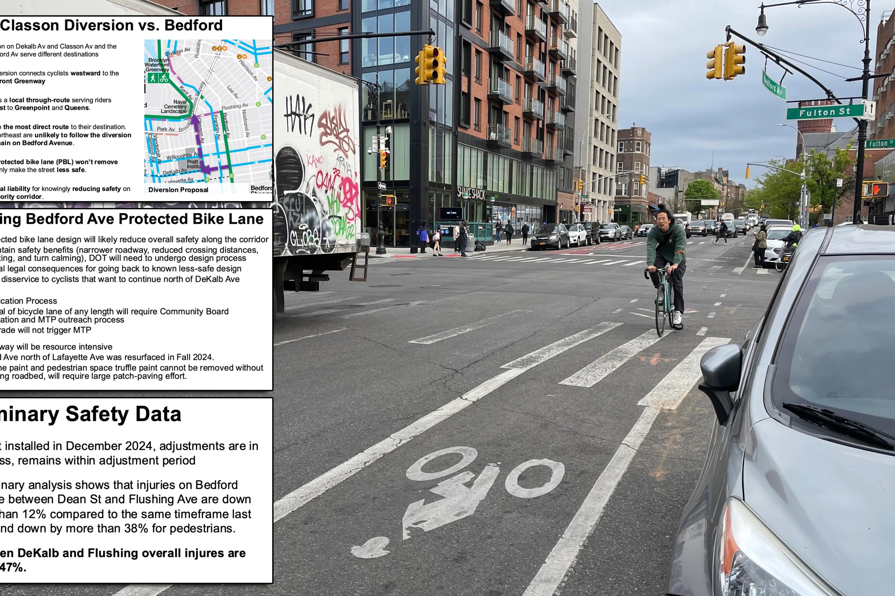
DOT Testimony: Removing Bedford Ave. Bike Lane Will ‘Reduce Safety’

"Removing the protected bike lane won’t remove cyclists — it will only make the street less safe," the DOT said. "The city risks legal liability for knowingly reducing safety on a Vision Zero priority corridor."

June 30, 2025

Hochul Signs Speed Camera Reauthorization, Enforcement Continues Through 2030

Stating a clear fact that scores of state legislators reject, Hochul said, "Speed cameras save lives and keep New Yorkers safe."

June 30, 2025

Cyclists Tell Judge Carolyn Walker-Diallo: The Bedford Ave. Bike Lane is a Lifesaver

A judge will decide the fate of the Bedford Avenue bike lane on Tuesday. Streetsblog offers some user affidavits.

June 30, 2025
See all posts