One of the more intriguing stories at yesterday's National Bike Summit in Washington D.C. came from Nicole Freedman, who was appointed Boston's first bike czar last September. A planner and one-time professional cyclist, Freedman was charged with building a bike network out of nothing, in a city routinely ranked among the nation's worst for bicycling, on a shoestring budget.
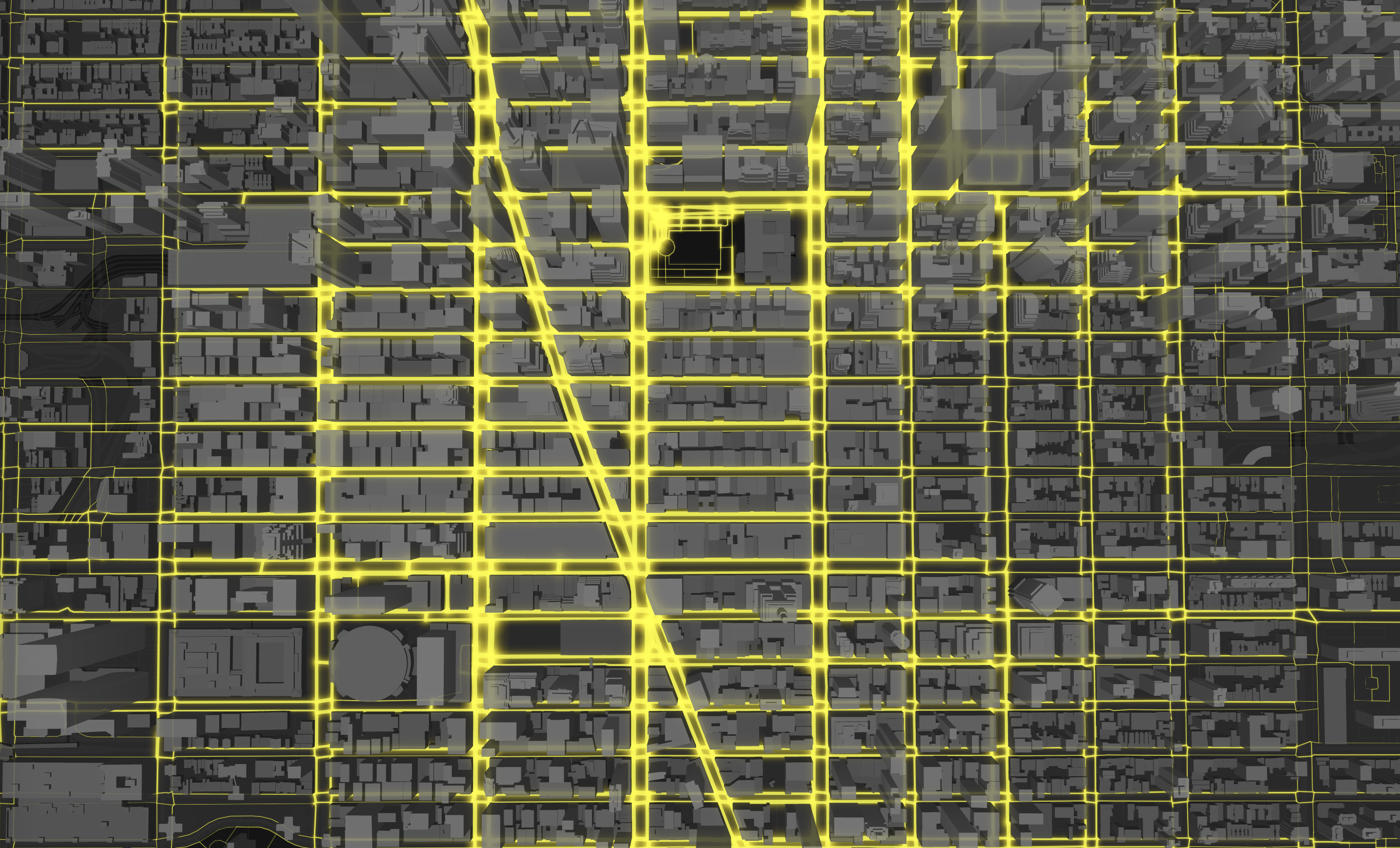
 Well, you know what they say about necessity. Freedman invented a rather ingenious method of planning a bike network. Her team created a modified Google Map that enables cyclists to log on and trace the routes they ride every day. Watch the data pile up, and voila -- sensible bike routes. "We found out where the actual desire lines are," she said. "Using existing technology was great."
In addition to figuring out where to stripe lanes, Freedman is using Google Maps to rate streets on bike-friendliness. "Anyone can go onto Google and rate a road," she said. "Is it good for beginners or just for experts?" The results will be reflected in Boston's first official bike map, which Freedman touted as an example of the city's strategy to personalize bike education and training. (Did I mention they're starting from scratch?)
Total cost? Next to nothing. "Basically the public is creating the map, and the sponsor will print," she said.
Update: While trying to track down the Google Map, which reader Eric Fischer links to in the comments, I found this explanation of how riders use it from Boston blogger Velo Fellow.
Photo: Active Living Network


