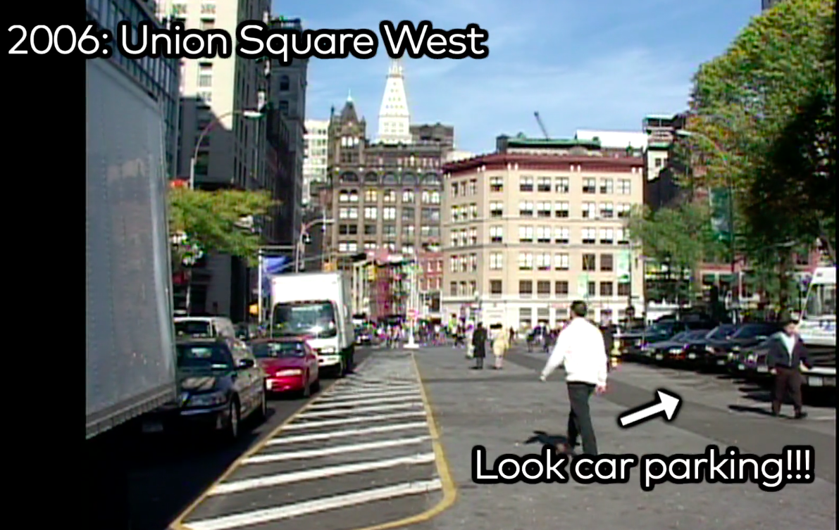
The Streetfilms archive has some really great footage of just how terrible Manhattan's Union Square was before it was transformed.
In 2005, when I was really starting to dive in to the work that would become Streetfilms, I taped a big community board meeting about the results of a year-long study on the feasibility of making then-two-way 17th Street into a one-lane roadway with much more room for pedestrians.
The livable streets crowd really thought this would be a big win, but, alas the city Department of Transportation rejected the plan, saying that 17th Street, 19th Street and other nearby streets would suffer an unacceptable drop in "level of service" — as defined by federal guidelines called the Manual for Uniform Traffic Control Devices or MUTCD.
Of course, "level of service" was defined only by the impact on car drivers. Back then, the MUTCD factored very little for pedestrians and bicyclists and discounted livability. The goal was to move cars along at any cost, a huge complaint of sensible transportation advocates.
Fortunately, New York City changed its approach. DOT Commissioners Janette Sadik-Khan and Polly Trottenberg chipped away at space for vehicles and added two-way protected bike lanes on two sides, pedestrian plazas, a unique ped/bike one-block only section on Union Square West and, yes, extended Union Square northward as was once hoped for all those years ago.
This video look back reveals the danger of relying solely on the MUTCD when evaluating cities and their neighborhood streets. In the end, the real failure of the 2005 DOT decision was the notion that traffic would grow over the following years. In fact, as the city slowly deemphasized Broadway as a through route and removed some parking, it actually became easier to see that predictions of traffic Armageddon were not true.
And even if traffic on some streets did go up a bit, tens of thousands of pedestrians, bicyclists and transit users a much better space today, as the video shows.


