The Motor City might have to change its nickname.
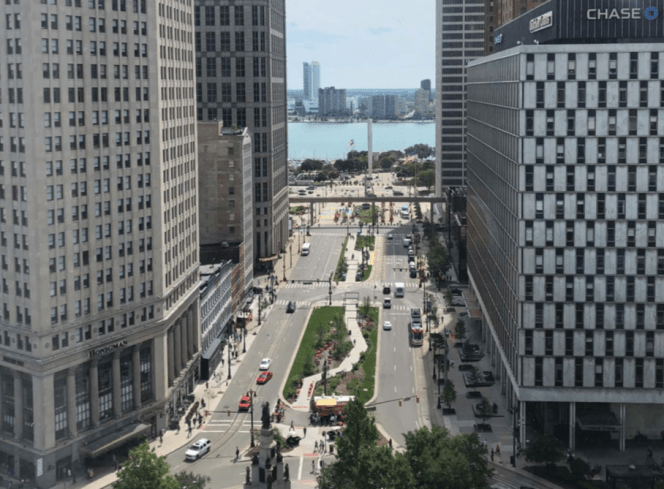
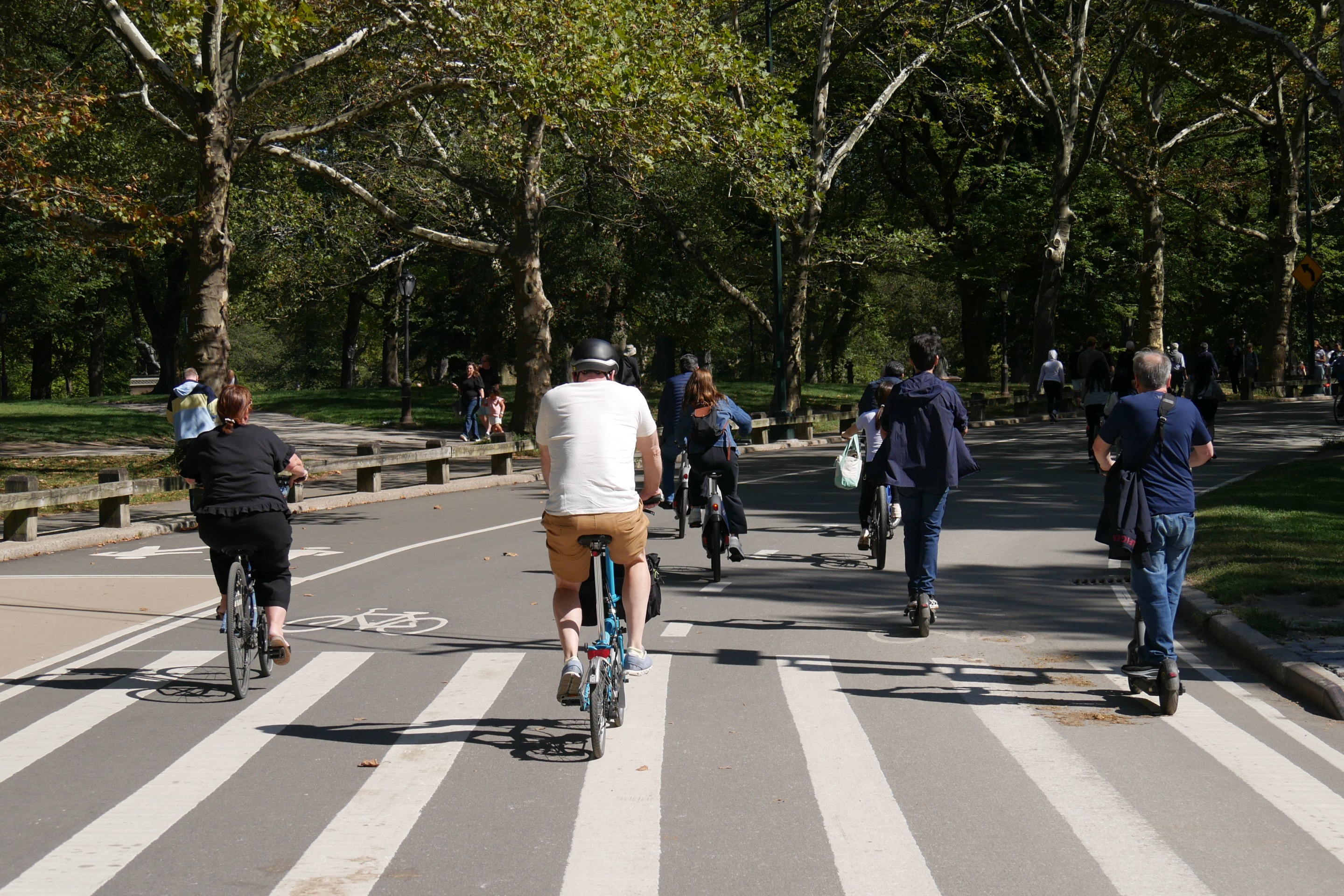
Detroit's new five-year transportation plan [PDF] calls for a network of protected bike lanes on the city's wide streets, intersection signals that give more time to pedestrians, and traffic calming measures such as speed bumps in residential areas and school zones
“The goal isn’t just to deliver better projects, but to build a better city, one where Detroiters’ opportunities are not limited by their choices for getting around,” Janette Sadik-Khan, the former NYC DOT Commissioner who created the plan with Bloomberg Associates, told Curbed.
Getting around has long been a problem in the city built for — and by — the automobile.
Detroit has the highest pedestrian death rate of U.S. large cities, the Detroit Free Press reported, and its transit system is, arguably, the worst of any major city in the country (though voters get some of the blame there, narrowly defeatinga ballot measure in 2016 that would have greatly expanded transit across the region).
Buses are a key part of the plan; the city's stated goal is to increase ridership 25 percent through basic service improvements such as increased service on the 10 busiest lines, 50 new bus shelters, off-board fare payment, bike patrols for transit police along major bus routes. and, by 2021, giving riders real-time travel information. The city may also experiment with temporary bus boarding islands, like those in New York and Oakland.
The plan also calls for boosting City Hall's investment in road repair, expanding the city's MoGo bike share system, programming signals to ease traffic, planting 3,300 new trees, and increasing participating in a program that allows low-income residents to ride transit for $5 per year.
Mayor Mike Duggan and Sadik-Khan also hope reforms such as better management of car parking and the creation of more walkable streets will revive retail in Detroit — where most residents shop "in nearby suburbs," the report noted.
