Last Chance to Tell DOT How to Make Linden Boulevard Safer

Linden Boulevard is a dangerous relic of a street, a surface-level highway that rivals Queens Boulevard for sheer awfulness. If you have ideas about what needs to change on Linden Boulevard, DOT wants to hear about it.
In February, DOT hosted two public workshops for its Linden Boulevard redesign project, which covers 3.8 miles between Kings Highway, in East Flatbush, and South Conduit Avenue, near the Queens border.
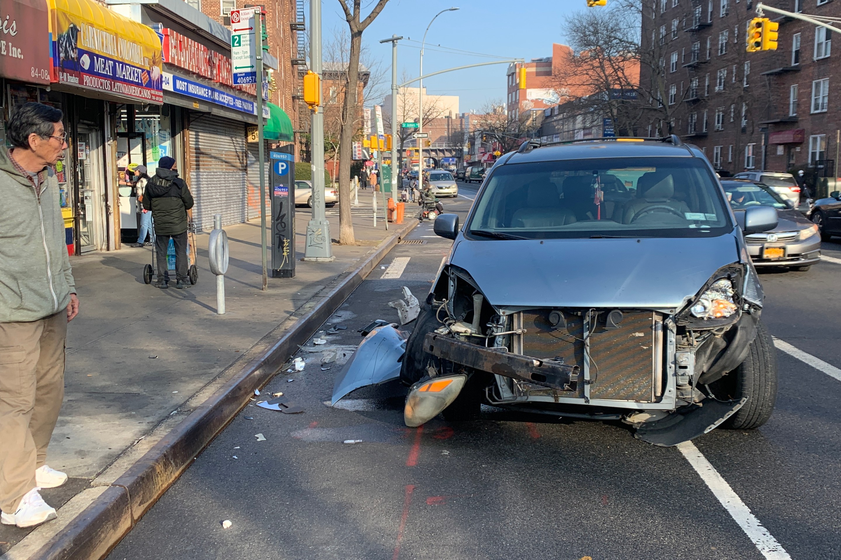
Like Queens Boulevard, Linden Boulevard has center-running through lanes and service roads. People often don't have enough time to cross the street, and the speed limit is still set at 35 mph. Since 2009, seven people have been killed in crashes along the project area, according to DOT [PDF].
The online survey and interactive map for the project will be accepting feedback for a few more days before closing down on Tuesday, April 7. The clock is ticking.
Stay in touch
Sign up for our free newsletter
More from Streetsblog New York City
Friday’s Headlines: Canal Street Follies Edition
Manhattan Borough President Mark Levine isn't happy. Plus other news.
Daylight Again: Bronx Community Board Backs Parking Ban at Intersections
The Boogie Down is down with daylighting!
Community Board Wants Protected Bike Lane on Empire Blvd.
Brooklyn Community Board 9 wants city to upgrade Empire Boulevard's frequently blocked bike lane, which serves as a gateway to Prospect Park.
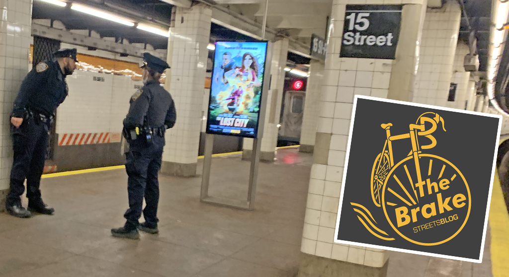
The Brake: Why We Can’t End Violence on Transit With More Police
Are more cops the answer to violence against transit workers, or is it only driving societal tensions that make attacks more frequent?
Report: Road Violence Hits Record in First Quarter of 2024
Sixty people died in the first three months of the year, 50 percent more than the first quarter of 2018, which was the safest opening three months of any Vision Zero year.