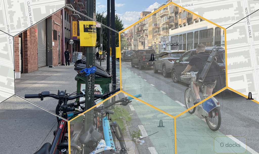
In an otherwise fair piece about the debut of the draft NYC bike-share map, the New York Times opted for this sensationalized lede: "After months spent shrouded in secrecy and speculation, the locations of bike-share stations in Manhattan, Brooklyn and Queens have arrived."
I know we were all anxious to get a look at the map, and the anticipation has been intensifying recently, but come on. This is a ridiculous choice of words to set the stage.
For a real example of transportation planning "shrouded in secrecy and speculation," try getting any info out of the Cuomo administration about the financial plans for the new Tappan Zee Bridge. (Still waiting for the Times story on that one.) The formation of the bike-share map has been a model of public engagement that other transportation projects would do well to emulate.
Siting the bike-share stations is complex stuff. Planners have to consider a lot of factors, from station density and bike-share usage patterns to how much light is available for the solar-powered kiosks and whether they will be compatible with existing street furniture. Hundreds of sites have to fit the criteria and mesh together as a network.
Having covered the planning and initial public rollout of bike-share station locations, it's just hard for me to imagine how the whole thing could have been more open and interactive. First there was the web portal that was bombarded with requests for bike-share stations. Then came months of public workshops at community boards, beginning in February, where participants could look at potential station locations on the streets they know best, and tell bike-share planners which ones to keep and which ones to dispose of.
Last month, DOT started presenting partial bike-share maps to community boards, going through the draft locations in each community district. (After one of these meetings the Times even published a draft map of stations on the west side.) At a Manhattan CB 3 committee meeting on April 11, DOT policy director Jon Orcutt said the whole map was still in development and not far enough along to post online yet. When district manager Susan Stetzer asked to have a copy of the neighborhood bike-share map to show the rest of the community board, Orcutt said it would be available upon completion of the full service area map a few weeks later, in plenty of time for the May CB 3 meeting.
Here we are, a few weeks later, and the system map is online, weeks before community boards will vote and more than two months before the system goes live. How secretive.
