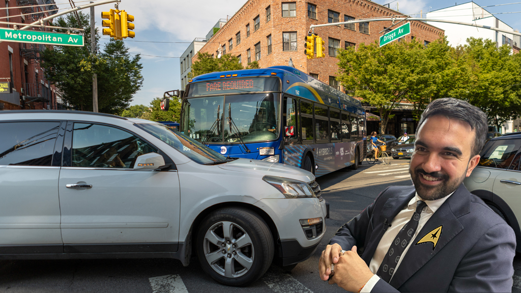
There Is No War On Cars

“The city’s war on automobiles has just gone aerial,” screamed the New York Post in a recent story about speed cameras. A Daily News op-ed in support of safety improvements proclaimed “the battle against cars has saved lives.” The Times matter-of-factly declared last month that “New York City has gone out of its way in recent years to cater to the nonmotorized.” No matter where you get your news, you’d be forgiven for thinking that the last three and a half years have been a time of revolutionary frenzy on the city’s streets.
While the DOT under Janette Sadik-Khan has made incredibly important steps to improve safety and mobility for New Yorkers, the truth is that the overwhelming majority of New York City’s streets remain about the same. We did some back-of-the-envelope math to estimate just how much street space has been reallocated from drivers to pedestrians, cyclists and transit riders in recent years. The answer: not a whole lot.
In fact, we estimate that less than one half of one percent of NYC’s street space has changed in the past three and a half years.
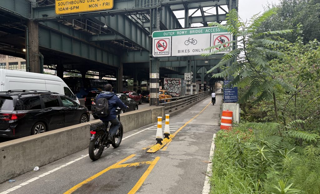
To crunch the numbers, let’s start with the most headline-grabbing change to NYC streets: bike lanes. Between the summer of 2007, when Sadik-Khan took over at DOT, and the summer of 2010, DOT installed 14.8 lane-miles of separated bike lanes and 130.9 miles of painted bike lanes (we chose to ignore sharrows, which don’t reallocate any space away from drivers) [PDF].
Assuming that separated bike lanes are eleven feet across, the width of the Prospect Park West bike lane and the Columbus Avenue bike lane, including buffer zone [PDF], that comes out to about 860,000 square feet of this most contentious kind of bike lane.
For on-street lanes, we generously assumed that each is six feet wide and assigned a three foot buffer to 20 percent of the lane-miles. That totals around 4,562,000 square feet of area.
In terms of new bus lanes, we counted around 15.5 miles — along 34th Street, First and Second Avenue, Fordham Road, and Livingston Street (there are also some smaller projects like two blocks at the approach to the Triborough Bridge). With 12-foot lanes in each direction [PDF], DOT has built around 1,964,000 square feet of new bus space.
Both the bus and bike estimates probably overstate the amount of street space taken away from cars. They include, for example, all the space in line with a bus or bike lane that spans an intersection — space which is shared with crossing motor vehicles.
Measuring the amount of new pedestrian space created is a trickier matter. Pedestrian space is part of all kinds of projects, from bus bulbs and bike lanes to Safe Streets for Seniors improvements and public plazas. It’s difficult to compile the precise figure, and DOT didn’t provide us with a total amount of new pedestrian space created over the last three and a half years.
But we can provide a few numbers for context. DOT’s highest-profile project, Green Light for Midtown, built 65,000 square feet of new pedestrian space, according to DOT’s 2009 progress report. The entire first phase of DOT’s plaza program, which hasn’t been built yet, will create 92,000 square feet of new pedestrian space. DOT has built new pedestrian space in dozens of smaller projects as well, like the 3,000 square feet of refuge islands and sidewalk extensions it constructed to improve access to Harlem River Park. It’s hard to imagine that the total amount of pedestrian space created could total more than 2,000,000 square feet.
In contrast, the city’s stormwater management plan [PDF] reports that there are 35,933 acres — or 1,565,241,480 square feet — of street space across New York City (more than double the total sidewalk space, interestingly).
In other words, the total amount of street space taken from cars and given to bikes, buses, and pedestrians under Janette Sadik-Khan equals less than one half of one percent of the city’s total network. And that’s with the generous assumption that on-street bike lanes and bus lanes aren’t constantly encroached upon by motor vehicles.
Just as DOT has spent more adjusting its pothole budget for the worse-than-usual winter weather than it has on three years of its bike program, nearly all of the street network remains unchanged over the last three years. For better or for worse, the “war on cars” exists in the conflict-hungry minds of the media, not on the streets of New York.

Read More:
Streetsblog has migrated to a new comment system. New commenters can register directly in the comments section of any article. Returning commenters: your previous comments and display name have been preserved, but you'll need to reclaim your account by clicking "Forgot your password?" on the sign-in form, entering your email, and following the verification link to set a new password — this is required because passwords could not be carried over during the migration. For questions, contact tips@streetsblog.org.