How can the distinctive urban identities of the Greenpoint and Williamsburg waterfronts be preserved as the implemention of the 2005 rezoning transforms the area forever? Illustrating the character of these vibrant communities with snapshots of daily life, this exhibit of photographs and maps urges city officials and the public to insist that these features are incorporated into plans for the future. Maps and text prepared by the Municipal Art Society complement images by urban photographer Giles Ashford urging city officials and developers to incorporate these features into plans for the future.
Events
Reception: Waterfront in Transition: Developing Brooklyn’s Green Crescent
Stay in touch
Sign up for our free newsletter
More from Streetsblog New York City
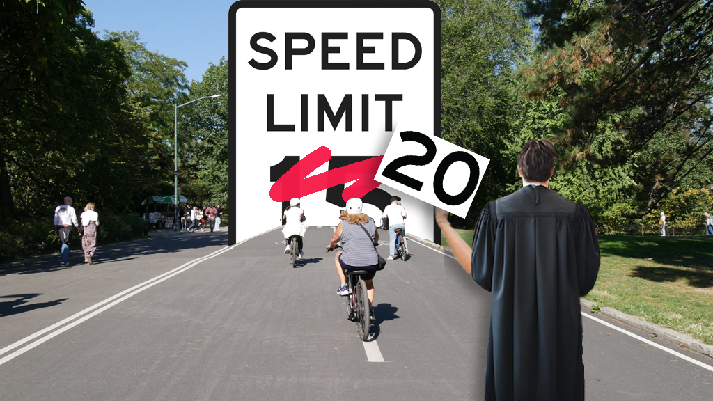
Judge Blocks City From Implementing 15 MPH Bike Speed Limit In Central Park
It's an indication that opponents of this "illegal application" of the so-called "Sammy's Law" may prevail on the merits at an upcoming full hearing.
Study: Most Of America’s Paint-Only Bike Paths Are On Our Deadliest Roads
Even worse, most Americans see these terrible lanes and think, "I'd be crazy to ride a bike" — and the cycle continues.
Lyft’s High Prices For Citi Bike E-Bikes May Incentivize Reckless Riding
Citi Bike keeps getting more expensive. A recent price increase by parent company Lyft has members racing the clock.
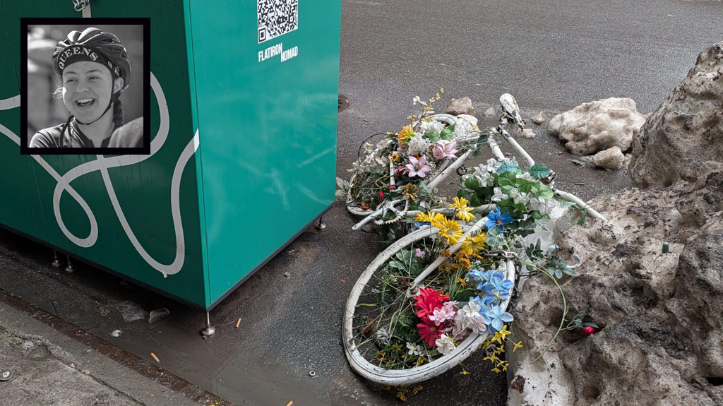
‘Heartbreaking’: Midtown Biz Group Removes Memorial To Beloved Cyclist
Cleaners for the Flatiron NoMad Partnership thoughtlessly removed the ghost bike for Robyn Hightman, a cyclist whose death was mourned citywide.
Hochul’s ‘Solution’ To Allegedly High Car Insurance Costs Is A Band-Aid On Society’s Larger Wound
Blame Canada ... for showing why our car insurance system is so bad.


