DOT Shows Off Ways to ‘Reconnect’ Communities Harmed by BQE, But Questions Remain
Take that, state DOT.
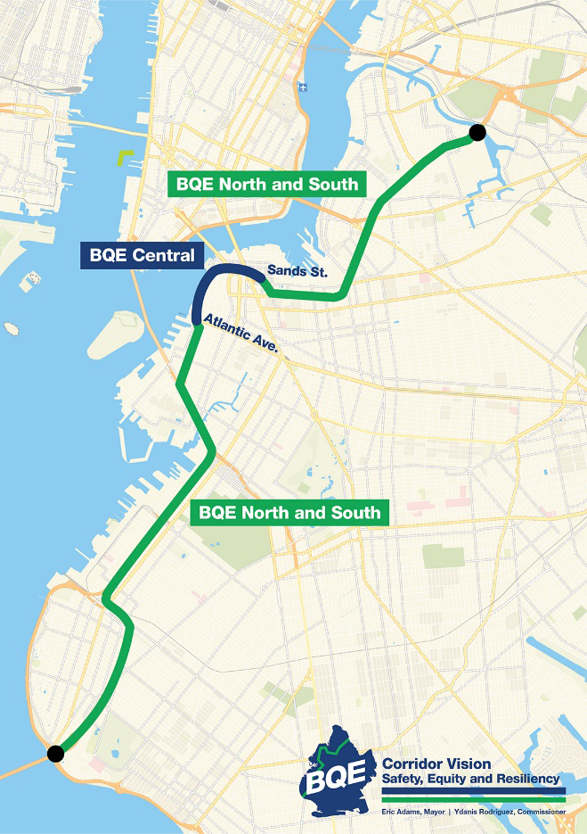
With the state in paralysis over what to do with portions of the Brooklyn-Queens Expressway south of Atlantic Avenue and north of Sands Street, the Adams administration is offering a glimpse of some changes it hopes to make without involvement from Albany.
In a blitz of glossy renderings released on Tuesday night in advance of the latest “visioning workshop” for residents of the southern neighborhoods, the city Department of Transportation suggested that the BQE’s current status as a pollution- and death-filled scar can be altered.
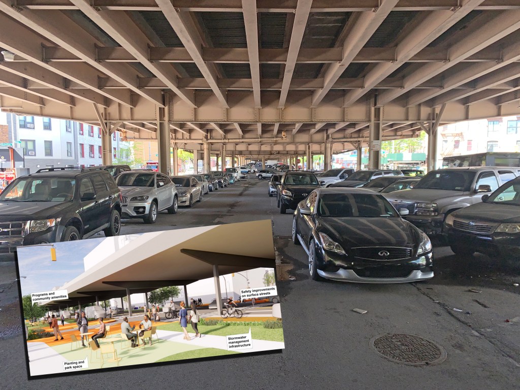
For instance, areas under the highway — which is elevated from the southern end of Sunset Park until a trench section through Carroll Gardens and Cobble Hill, before it becomes elevated again through Fort Greene and parts of Williamsburg — could be reimagined as “community connectors,” featuring a narrowed roadway under the highway flanked with large pedestrian areas and plazas.
There are three such visions, though New Yorkers’ embrace of under-highway public space has not always been passionate:
The city also offered some less-fleshed-out visions for capping or reimagining portions of the roadway that are below-grade, such as the portion in Bay Ridge, or the infamous trench sections between Atlantic and Hamilton avenues and between Kent and Metropolitan avenues in Williamsburg.
The agency said these “initial concepts” were the fruit of “feedback from the community through in-person and online public workshops with 160 attendees, through our 18 community partners, stakeholder meetings and focus groups, and via 2,600 survey respondents..
The renderings were set to be shared with the public at 6:30 p.m. on Tuesday.
“Sharing these ideas for BQE North and South about what could be is a critical step towards giving the communities a vision of what the future includes, such as safer and more public space,” said Meera Joshi, the deputy mayor for Operations.
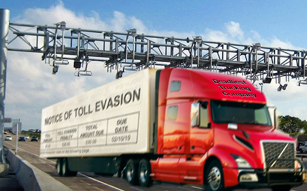
There appears to be one major downside of the renderings: all envision that the state-owned portion of the Brooklyn-Queens Expressway will remain more or less as it is for the foreseeable future — a prediction that is likely to come true, given that the state DOT has said it has no plans to transform the areas that the city calls BQE South and BQE North even as the city is expected to spend several billion dollars repairing the crumbling triple cantilever section — aka BQE Central — over the next decade to fix the highway and add an enormous green space.
Nor do the city’s renderings envision a narrower roadway, such as a two-lane roadway desired by many elected officials up and down the corridor — though rejected by car-loving machine politicians along the same route.
In other words, the city hopes to do the best it can with the highway it has been dealt.
“The [BQE has] negatively impacted communities for generations, and we are committed to reversing its discriminatory effects,” the DOT said in a statement.
Of course, that looks different in different neighborhoods. Below are the previously released city renderings for the city-controlled area of the BQE under tony Brooklyn Heights and DUMBO:
Some improvements in BQE North and South will take place this year, though nothing as substantive as plazas or neighborhood connectors. In a statement, the DOT said it would immediately start improving pedestrian ramps in many areas of Sunset Park and Williamsburg; develop “new freight and congestion management strategies, like creating neighborhood and commercial loading zones, and working with commercial partners to move freight off-hours”; and cleaning “target locations … under the viaducts along the corridor.”

Read More:
Streetsblog has migrated to a new comment system. New commenters can register directly in the comments section of any article. Returning commenters: your previous comments and display name have been preserved, but you'll need to reclaim your account by clicking "Forgot your password?" on the sign-in form, entering your email, and following the verification link to set a new password — this is required because passwords could not be carried over during the migration. For questions, contact tips@streetsblog.org.