EXCLUSIVE: First Look at City Plan for Goethals Pedestrian Path
The city finally has a plan to get bicyclists on the new — yet still closed— Goethals Bridge bicycle and pedestrian path, but it’s going to take some extra pedaling.
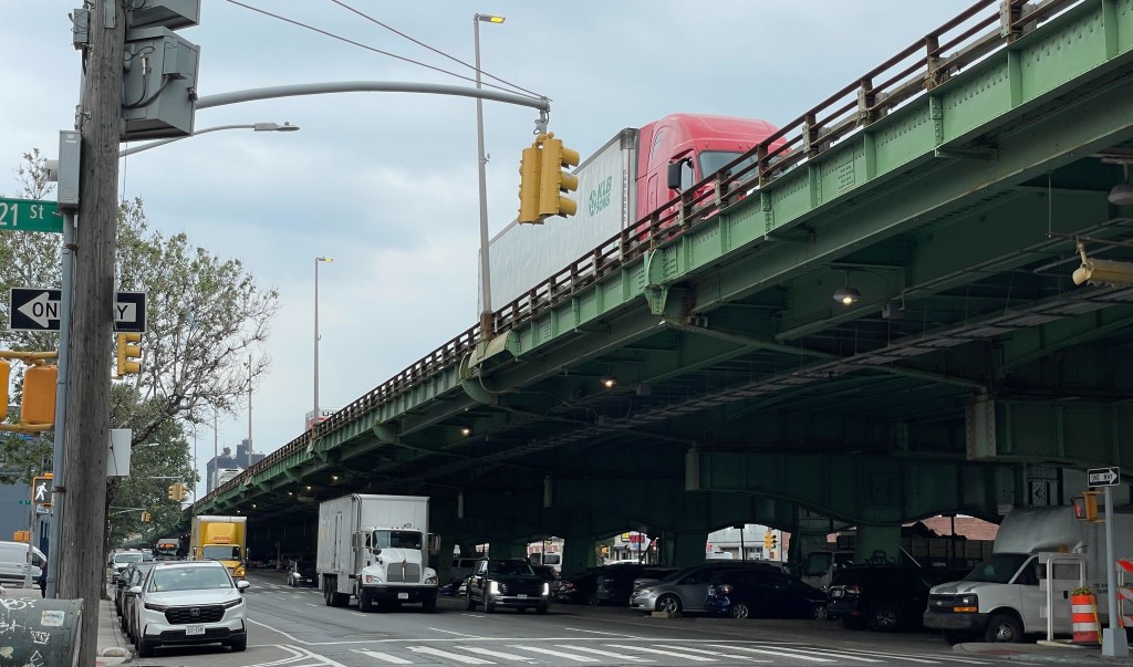
More than a year after the bridge between Staten Island and Elizabeth, N.J. opened to cars and trucks, the Department of Transportation has finally unveiled a plan [PDF] that forces bicyclists to make a detour around and under the six-lane, cable-stayed twin structure to avoid conflicts with trucks.
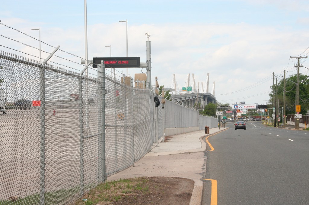
The Goethals bike path can only be entered on the south side of desolate (but truck-heavy) Goethals Road North between Western and Forest avenues near the entrance to the New York Container Port on the Arthur Kill, the strait separating New York from New Jersey (see map below).
Heavy truck traffic headed into the terminal on the one-way, three-lane Goethals Road North would endanger Jersey-bound cyclist, so a plan had to be hatched to safely route cyclists away from the trucks and other vehicular traffic (given that DOT and the Port Authority did not consider methods to reduce or re-route the truck traffic).
Thus, a new, protected bike lanes will be built along Gulf Avenue on the south side of the bridge, and cyclists will use an already-existing sidewalk on Goethals Road North to make a very roundabout way back to civilization, according to the plan.
It’s tough to describe what cyclists will have to do to get to and from the bridge in this narrative, so here are some bullet points to break it down for you:
From New Jersey to Forest Avenue
The bike lane exit leaves cyclists on the south sidewalk of Goethals Road North. So to get to points east:
- Cyclists must make a U-turn on that sidewalk and head towards Western Avenue (and away from Forest Avenue).
- Still on the sidewalk, cyclists make a left turn onto Western Avenue.
- At Gulf Avenue, cyclists turn left.
- Follow protected bike lane to Forest Avenue, where bike lane will end.
From Forest Avenue to New Jersey
The city did not want cyclists simply heading from Forest Avenue onto Goethals Road North, so to get to the bridge, cyclists have a long detour:
- Take Forest Avenue to the protected bike path on Gulf Avenue on the opposite side of the bridge.
- Turn right and follow the protected bike path to Western Avenue.
- Make a right turn onto the sidewalk of Western Avenue beneath the bridge.
- Make right turn onto Goethals Road North, staying on south sidewalk.
- Enter the bridge bike path with a U-turn.
- Enjoy all that Elizabeth has to offer.
Port Authority officials said the pathway had to be installed on the north side of the bridge because connecting cars to the New Jersey side took precedence.
“There was no connectivity on the New Jersey side to the connections to the Turnpike,” said Steve Coleman, a spokesman for the Port Authority.
Coleman added that the northern exposure will also offer pedestrians and cyclists stunning views of the Bayonne Bridge and the Jersey City and Manhattan skylines, something that would have been obscured had the path been built on the south side.
Staten Island cyclists said the plan wasn’t perfect, but it was the best the city could do in an area that is not the friendliest environment for cyclists and pedestrians.
“I hope it is safe,” said Laura Barlament, who lives, works, and bikes on Staten Island. “But I’m super excited to ride my bike over the bridge to a part of New Jersey that was inaccessible.”
Still, activists wondered why it took so long for the two agencies to get together and work something out.
“It’s been frustrating for everyone,” said Rose Uscianowski of Transportation Alternatives. “It took until the bridge was complete for the DOT and the Port Authority to get together. C’mon. They were working on the bridge for more than five years.”
Uscianowski added that it will still be difficult to get to the bridge because Staten Island is sorely lacking in bicycle infrastructure.
“This gets you closer to the bridge, but there are still lots of main arteries that are being ignored,” she said, noting that Forest Avenue doesn’t have a bike lane to connect to. “They’re looking at the immediate area around the bridge, and not the island as a whole.”
Construction on the bike path will begin “this fall” according to the Port Authority, and the bridge path will open upon its completion, which the agency says is “weather dependent.” It is unlikely the work will be done before the summer of 2020.
After publication of this story, DOT sent over the following statement:
Though we do not have a projection on how many pedestrians and bicyclists will use the path, we anticipate it will be primarily recreational use with some weekday commuters.
Port Authority and DOT plan to start on street work this year; completion is weather dependant [sic]. We are working to get final community board approvals this week.
DOT has been in discussions with the Port Authority about this path for about a year. Finalizing a design took time because this is a complex area with heavy truck traffic moving between the port facilities and the bridge.
Port Authority is considering a phase II project to connect pedestrians to existing sidewalks on the north side of Goethals Road North; Port Authority can confirm the timing of that project.
The city will present the plan to the public and the Staten Island Community Board 2 Traffic and Transportation Committee at 7:30 p.m. at New Drop Moravian Church at 2025 Richmond Road.
The Port Authority opened a bicycle and pedestrian path on the recently raised Bayonne Bridge, which connects Staten Island to Bayonne, New Jersey, late last spring. That path, while awesome, has its own connectivity issues.

Streetsblog has migrated to a new comment system. New commenters can register directly in the comments section of any article. Returning commenters: your previous comments and display name have been preserved, but you'll need to reclaim your account by clicking "Forgot your password?" on the sign-in form, entering your email, and following the verification link to set a new password — this is required because passwords could not be carried over during the migration. For questions, contact tips@streetsblog.org.