How do highways and greenfield development exacerbate inequality?
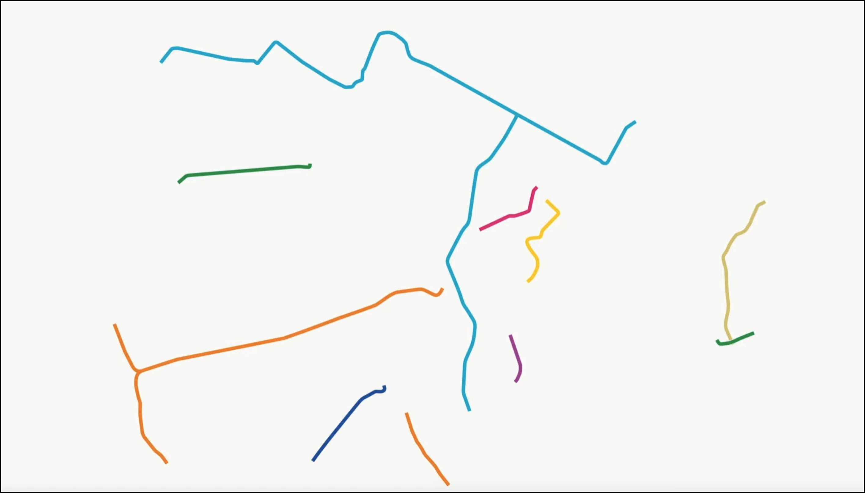
Richard Bose at Next STL shares this map of the St. Louis region, showing the share of income poor workers spend on transportation. Not surprisingly, as you go farther from the center, transportation consumes a greater percentage of people's pay.
What makes the case of St. Louis so tragic, writes Bose, is that the legacy of sprawl has left low-income residents with no choice but to live in areas with high transportation costs:
Since 1970 the region’s population is up only 50% while the space occupied has increased by 400%. Putting people, jobs, services, shopping, and amenities further apart raises costs for the public and private sector. Our hyper-fragmentation has been unable to hold back these forces, often working in concert.
The most tragic effect is the heavy burden placed on the poor. Unnecessary transportation costs in money and time crowd out housing, food, education, health care, childrearing, etc. and build no human or physical assets. Our policy priorities in transportation and housing have been exacerbating poverty.
As our build-abandon-build-abandon land use policy of the region carries on, we should expect the burden to become greater. The burden applies not just to households, but to the often tiny municipalities trying to serve them. It is fortuitous for them that the same built environment that’s not productive enough to fund the town government also forces poor people to drive, often poorly maintained cars, so they are marks for revenue generation via tickets and court fines. The incentive for other revenue sources grows as higher taxes chase declining services while the tax base erodes.
Elsewhere on the Network today: Mobility Lab shows how DC dwellers used Capital Bikeshare to cope during the Metro shutdown. Greater Greater Washington highlights very small parks that pack a big punch. And Systemic Failure shares the latest example of how federal "Buy America" provisions and FRA train design specs have combined to stymie efforts to improve U.S. passenger rail.


