Temporary Red Hook Greenway Plan Looks Better Than the Permanent One

Eventually, New York City intends to build a biking and walking path along the Red Hook waterfront, one link in the longer Brooklyn Waterfront Greenway. It’s going to be several years before that project gets built, so in the meantime DOT plans to make streets a few blocks inland safer for biking and walking. The question is, why not keep the safer, multi-modal surface streets after the permanent project wraps up?
Last night, DOT presented the interim plan [PDF] to the Brooklyn Community Board 6 transportation committee, which voted for it unanimously. The plan would reconstruct bumpy Ferris Street and Beard Street and make room for a two-way curbside bike lane and green infrastructure features. But the long-term plan for the greenway currently calls for moving the bikeway to the waterfront and putting a parking lane back on the street.
Currently, Ferris and Beard are in such poor condition that there is no sidewalk on large sections of each street, which impedes walking. The shoddy pavement and lack of bike lanes also prevent cyclists from comfortably accessing nearby Valentino Pier. The interim treatment will address both problems, and some people at the meeting last night questioned why the on-street bikeway is slated to be removed once the permanent greenway is built.
“I think that having an interim design is an appeasement to people who are worried about parking,” said committee member Bahij Chancey.
Doug Gordon of Brooklyn Spoke suggested that the DOT leave the two-way bike lane as presented in the interim phase when the full greenway is built out, since Ferris and Beard are quicker, more convenient routes for cyclists riding for utility rather than recreation.

The interim design will probably last several years before the threat of reverting back to a parking lane rears its head. The section of the greenway by Valentino Pier is a long way off, with DDC and DOT still working on securing funds and other sections of the Brooklyn Waterfront Greenway taking higher priority.
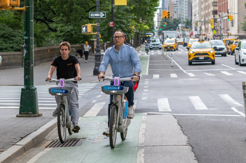
The CB 6 committee also voted unanimously in favor of Citi Bike expansion into the district, which in addition to Red Hook includes Cobble Hill, Carroll Gardens, Gowanus, and Park Slope. The station map DOT showed had 62 stations across the district.

Streetsblog has migrated to a new comment system. New commenters can register directly in the comments section of any article. Returning commenters: your previous comments and display name have been preserved, but you'll need to reclaim your account by clicking "Forgot your password?" on the sign-in form, entering your email, and following the verification link to set a new password — this is required because passwords could not be carried over during the migration. For questions, contact tips@streetsblog.org.