Creating Safer Streets Linking the South Bronx to Randall’s Island


The South Bronx neighborhoods of Port Morris and Mott Haven are a stone’s throw from 480-acre Randall’s Island, but a ring of highways and industry separates residents from all that parkland. Now, the New York Restoration Project (NYRP) is working with local advocates and health researchers to create better walking and biking connections between the South Bronx and Randall’s Island, taking advantage of a long-planned greenway segment set to open this summer.
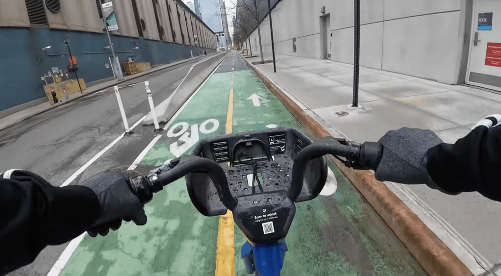
The South Bronx has high rates of asthma, diabetes, and obesity, making it especially urgent to provide opportunities for physical activity. The Randall’s Island Connector, a nearly-complete greenway segment running beneath the Hell Gate Bridge, will help by linking the South Bronx to Randall’s Island with a car-free path. But to reach the connector after it opens, residents will still have to navigate streets overrun by trucks and lined with industrial uses.
That’s where NYRP and its initiative, The Haven Project, come in. Launched after a community meeting last June, the project aims to create safer access to the greenway. The first round of recommendations has been released [PDF] — including plans for waterfront greenways, new street trees, protected bike lanes, and safer pedestrian crossings — and a full report is scheduled for June.
With The Haven Project, NYRP is building upon years of work by South Bronx Unite, Friends of Brook Park, Sustainable South Bronx, and city agencies to improve the waterfront for residents. NYRP hired consultant Paul Lipson of Barretto Bay Strategies, who founded THE POINT Community Development Corporation and served as chief of staff to Congressman Jose Serrano. Through the Lipson connection, South Bronx Unite signed on to connect NYRP’s professional staff with local residents.
“We’re working as a consultant with NYRP to make sure this is a community project, and not something that’s drawn up in some room by urban planners,” said Mychal Johnson of South Bronx Unite, “
Each public meeting for the project has attracted between 50 and 70 people, said NYRP’s Casey Peterson, “The big areas of concern in the community are pedestrian safety, because there’s a lot of trucks in the neighborhood,” Peterson said. “Especially in Port Morris, there aren’t great walkable conditions. Getting to the [Randall’s Island] Connector is really difficult if you are a pedestrian or a biker.”
“There are already painted bike lanes on a few roads in Mott Haven, but our recommendations will be for protected bike lanes, also street trees and crossings,” Peterson said.
“We’re definitely conscious of the fact that these industries need to operate,” she added. “It has to function for them, but I think it can also function for the residents.”


The project team includes researchers from Montefiore Medical Center, Columbia University, and New York University who will be looking at how changes to the built environment affect physical activity and public health in the long run.
The Haven Project is funded by the John S. and James L. Knight Foundation and the Doris Duke Charitable Foundation, and it could become a model for places outside the South Bronx. As part of the Knight Cities Challenge, the executive director of the North Carolina advocacy groups Trees Charlotte is “shadowing” NYRP’s work in the Bronx to glean lessons to improve his hometown.
Once it wraps the planning phase this summer, NYRP says it will use the blueprint to attract funding and implement many of its recommendations for Port Morris and Mott Haven. NYRP has been in touch with city agencies, including the Parks Department and the Department of Transportation, to coordinate plans. DOT is currently planning a protected bikeway on Bruckner Boulevard that would eventually link up with the Randall’s Island Connector.


Read More:
Streetsblog has migrated to a new comment system. New commenters can register directly in the comments section of any article. Returning commenters: your previous comments and display name have been preserved, but you'll need to reclaim your account by clicking "Forgot your password?" on the sign-in form, entering your email, and following the verification link to set a new password — this is required because passwords could not be carried over during the migration. For questions, contact tips@streetsblog.org.