Using Citi Bike Data to Figure Out Where Cyclists Ride

It's been a week since Citi Bike released a trove of data on bike-share trips, and the public is already using the information to pick out patterns in ridership and glean new details about the demographics of Citi Bike riders.
In addition to identifying the busiest late-night stations to map nightlife hotspots, statistician Ben Wellington at I Quant NY used a neat feature in the data to show which stations attract different types of Citi Bike riders.
Riders in Midtown, for example, tend to be slightly older and overwhelmingly male. The share of female riders is highest in the Lower East Side and Chinatown. When it comes to age, however, those neighborhoods are split: The East Village has some of the system's youngest average ridership, while users of stations near public housing and co-ops near the Williamsburg Bridge are, on average, among the system's oldest.
Wellington also used the data to verify what many New Yorkers could tell you by intuition: Casual users who purchase day or week passes are concentrated near popular tourist destinations in Midtown, the Financial District, and along the Hudson River Greenway.
While DOT said before Citi Bike's launch that the system would map each rider's route, that data was not included in last week's release. Instead of tracking actual routes, London-based geographer Oliver O’Brien created an estimate by combining Citi Bike ridership data with a map of bike lanes from OpenStreetMap. O'Brien used starting and ending locations for 5.5 million bike-share trips over eight months to map direct routes for each trip, weighting the route choice towards bike lanes and paths.
Some patterns jump off the map immediately: By O'Brien's estimates, the most popular routes include the Eighth and Ninth Avenue protected bike lanes, Sixth Avenue, and the Hudson River Greenway in the West Village and Tribeca.
Because O'Brien's map assumes riders are taking relatively direct routes, as opposed to the more circuitous rides some users might be taking, it is likely undercounting rides through Central Park or along the Hudson River Greenway above 14th Street, among other routes.
The new data is also enabling the creation of tools to estimate how long it will take users to make any given bike-share trip. Developer Zach Rausnitz created the Bikeshare Trip Timer, based on a similar site he created for Capital Bikeshare in Washington, DC. By using only trips taken by annual members, it focuses on users getting from point A to point B. After selecting two stations, the site pulls up a graph showing how long it took Citi Bike riders to make the journey, with comparison estimates from Google Maps.
Now, if only there were an app to guarantee a bike or an open dock when you need it...
Stay in touch
Sign up for our free newsletter
More from Streetsblog New York City
Friday’s Headlines: Canal Street Follies Edition
Manhattan Borough President Mark Levine isn't happy. Plus other news.
Daylight Again: Bronx Community Board Backs Parking Ban at Intersections
The Boogie Down is down with daylighting!
Community Board Wants Protected Bike Lane on Empire Blvd.
Brooklyn Community Board 9 wants city to upgrade Empire Boulevard's frequently blocked bike lane, which serves as a gateway to Prospect Park.
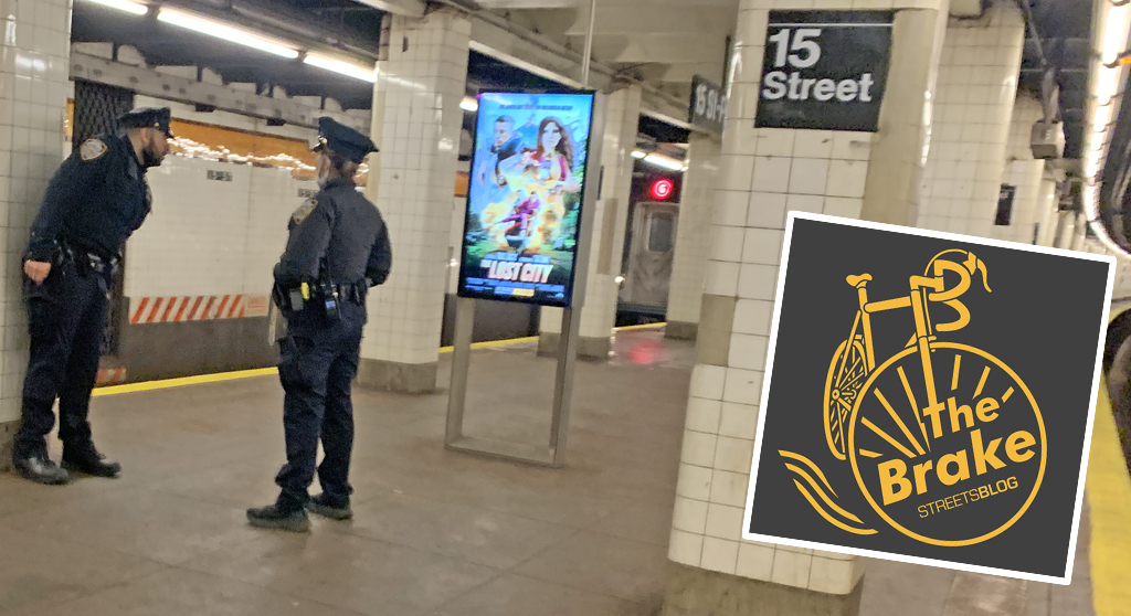
The Brake: Why We Can’t End Violence on Transit With More Police
Are more cops the answer to violence against transit workers, or is it only driving societal tensions that make attacks more frequent?
Report: Road Violence Hits Record in First Quarter of 2024
Sixty people died in the first three months of the year, 50 percent more than the first quarter of 2018, which was the safest opening three months of any Vision Zero year.