As Citi Bike Stations Appear, DOT Recaps How People Helped Pick Sites
Over the weekend, the first Citi Bike stations were installed. And before you could say, "the New York Post," NYC DOT put out a report today reviewing the extensive public planning process that informed hundreds of bike-share station siting decisions. The next time you see a story about a handful of people complaining about the placement of a bike-share station, remember all the thousands of New Yorkers who participated in this process.

Also buried in the report is a significant piece of news about pricing: DOT revealed that Citi Bike will offer $60 annual memberships (a discount from the regular $95) to NYCHA residents and members of Community Development Credit Unions.
In 2011 and 2012, Streetsblog reported on the online portal where New Yorkers could suggest bike-share stations and the public workshops where participants mapped out where they wanted stations to go. Here's what the report says about how DOT used that information to come up with a preliminary map of 600 bike-share stations:
Eighteen months of meetings, demonstrations and discussion, 14 community planning workshops, and more than 10,000 online suggestions produced a vast quantity of information on where New Yorkers wanted to see Citi Bike stations. DOT’s first task was to code and synthesize the workshop results from nearly 3,000 possible station locations. Locations that received red “No” arrows during the workshops were removed and locations that received significant numbers of green “Yes” votes were highlighted. Suggestions for other stations not depicted on the maps were vetted by DOT staff to ensure they met the technical criteria.
Comments received via the Website or recorded by note-takers at the workshops were added in. Stations that received votes via the Website were prioritized over stations that had not. DOT planners then used a Geographic Information System (GIS) program to create a predictive model for how big each individual station would need to be. The model analyzed the surrounding land use (residential, commercial, parkland, schools, etc.), population, tourism rates and subway turnstile counts and other transit use throughout the program area. The model also made use of newly available taxi GPS data on origins and destinations of trips, as well as durations and times of day throughout the city.
The next step was to marry the public opinion information gathered in the workshops, through the Website, and through months of conversation with stakeholders to the overall map of technically viable locations and the station size model. DOT planners combined all the comments received over the multi-year process with the technical information in order to select one station within each grid square. A wide array of factors – specific requests or comments, neighborhood preferences, proximity to transit and other destinations, distance from other stations, access and proximity to bike lanes, station size in relation to the demand model – were all considered.
DOT staff matched the overall community request profiles also generated in the workshops. For example, in Manhattan, Community Boards 2, 4, and 5 stated strong preferences that stations not be sited on sidewalks, while Brooklyn’s Community Board 3 and Queens Community Board 2 preferred locations on sidewalks. Stations selected in these areas were matched to these preferences.
A few more nuggets from the report:
- The interactive station planning map received more than 10,000 suggestions for station locations, with more than 55,000 votes in support of suggested locations.
- DOT staff found up to five feasible locations for each station before working with community boards and other groups to whittle down the list.
- In an effort to reach low-income communities, there will be a station within one block of each of the 29 NYCHA properties in the bike-share service area.
Other cities are taking note of how NYC prepared for bike-share. Chicago, for instance, used the same online mapping technology (which was developed by OpenPlans, Streetsblog's parent organization) to ask for input on station locations. Documenting the whole process in this report should serve as a how-to manual for other cities planning bike-share systems.
Stay in touch
Sign up for our free newsletter
More from Streetsblog New York City
Friday’s Headlines: Canal Street Follies Edition
Manhattan Borough President Mark Levine isn't happy. Plus other news.
Daylight Again: Bronx Community Board Backs Parking Ban at Intersections
The Boogie Down is down with daylighting!
Community Board Wants Protected Bike Lane on Empire Blvd.
Brooklyn Community Board 9 wants city to upgrade Empire Boulevard's frequently blocked bike lane, which serves as a gateway to Prospect Park.
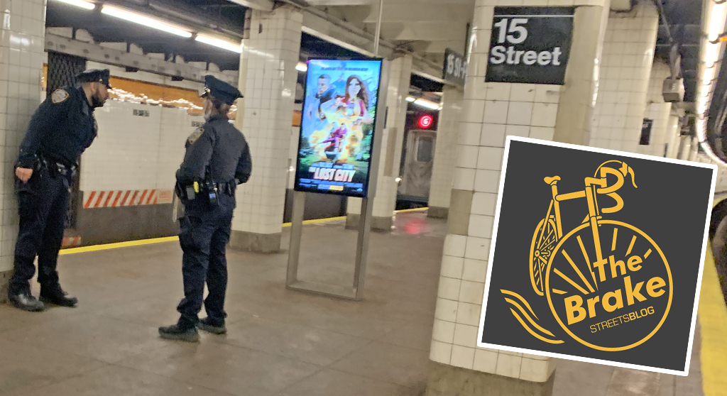
The Brake: Why We Can’t End Violence on Transit With More Police
Are more cops the answer to violence against transit workers, or is it only driving societal tensions that make attacks more frequent?
Report: Road Violence Hits Record in First Quarter of 2024
Sixty people died in the first three months of the year, 50 percent more than the first quarter of 2018, which was the safest opening three months of any Vision Zero year.