In a Collision? Share Your Experience on TA’s CrashStories Website
Today, Transportation Alternatives is launching CrashStories, a new website where pedestrians and cyclists can report crashes or near-misses with motor vehicle drivers on an interactive map. Developed by Hunter College city planning graduate student Aaron Fraint, the project aims to fill gaps in official data sources and offer a place for crash victims to be heard.

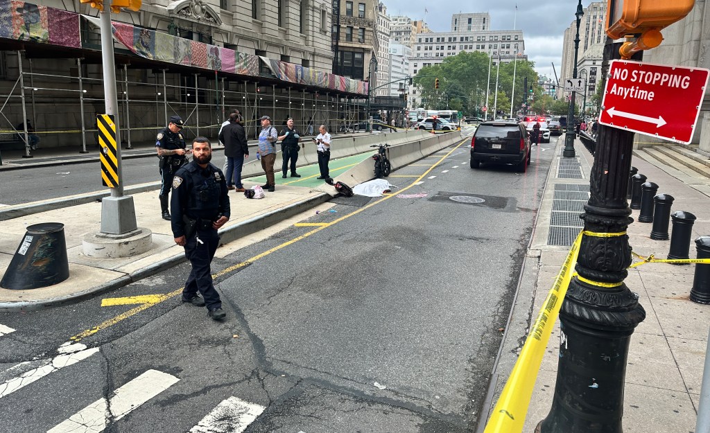
Data mapped by TA’s CrashStat tool, which originates from NYPD and is filtered by the state DMV and state DOT, tends to skew toward collisions with major injuries, leaving fender-benders and other, less severe crashes underrepresented in the data. “Everything else tends to get underreported or not reported at all,” said TA’s Jennifer Godzeno.
TA, said Godzeno, gets calls every day from people involved in minor crashes. “If we can start to record that information in enough detail, then maybe we can start to intervene on streets or at intersections before tragedy even strikes,” Godzeno said.
The project grew out of a prototype developed for TA by Columbia University city planning students last year. Over the summer, Fraint was considering developing a similar tool as part of his fellowship at Hunter but couldn’t reach a broad audience to collect data. Meanwhile, TA was looking to move the prototype to the next level but didn’t have the internal capacity to develop the tool. In November, Fraint met with Godzeno.
“It was really the right place at the right time on both accounts,” Fraint said. “I don’t really have a way to reach 100,000 people the way they do.” Fraint and TA came to an agreement, and Fraint got to work. The service uses Shareabouts, a platform developed by Streetsblog’s parent organization, OpenPlans.
Fraint hopes to use the data to analyze the effectiveness of street designs. He also wants to compare CrashStories data to police crash reports. “Ideally, the same intersections would be identified as hot spots,” he said. Eventually, he hopes to launch CrashStories with partner organizations in other areas, and compare data between cities.
TA plans to use the tool as a component of its street safety advocacy, encouraging residents to enter their stories along particularly dangerous streets, providing information that can help convince decision makers to take action for safety.
“This site is a way to humanize the experience of having been in a crash or a near-miss,” while also putting the data to good use, said Godzeno. “Everybody tells us about this every day.”

Read More:
Streetsblog has migrated to a new comment system. New commenters can register directly in the comments section of any article. Returning commenters: your previous comments and display name have been preserved, but you'll need to reclaim your account by clicking "Forgot your password?" on the sign-in form, entering your email, and following the verification link to set a new password — this is required because passwords could not be carried over during the migration. For questions, contact tips@streetsblog.org.