Hot Off The Presses, NYC’s 2012 Bike Map

2011 wasn't New York City's biggest year for bike lanes. After building around 50 lane-miles a year since 2007, DOT only built 8.7 lane miles last year, thanks in large part to the sustained political and media attack on bike infrastructure that peaked that year.
Even so, the bicycle network is a little bit bigger and better than before, so regular cyclists are going to want to get their hands on this year's official bike map, released today. You can download the PDF on DOT's website, here.
We particularly enjoyed seeing the First and Second Avenue bike lanes creep northward and new and improved Queens approach to the Queensboro Bridge.
Here's looking forward to a 2013 map that not only has a bevy of new green, red and orange lines, but 600 bike-share stations marked off as well.
Stay in touch
Sign up for our free newsletter
More from Streetsblog New York City
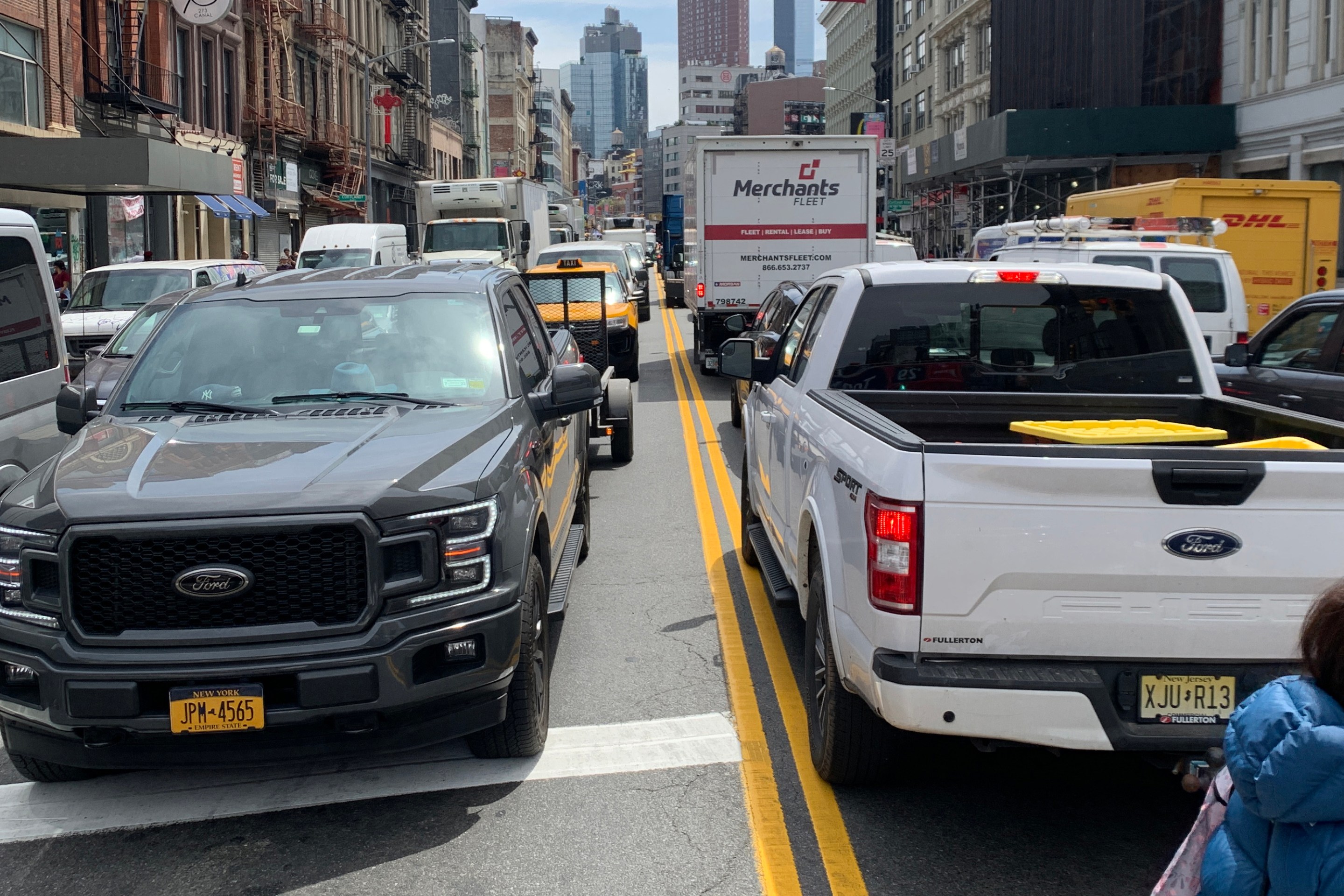
Friday’s Headlines: Canal Street Follies Edition
Manhattan Borough President Mark Levine isn't happy. Plus other news.
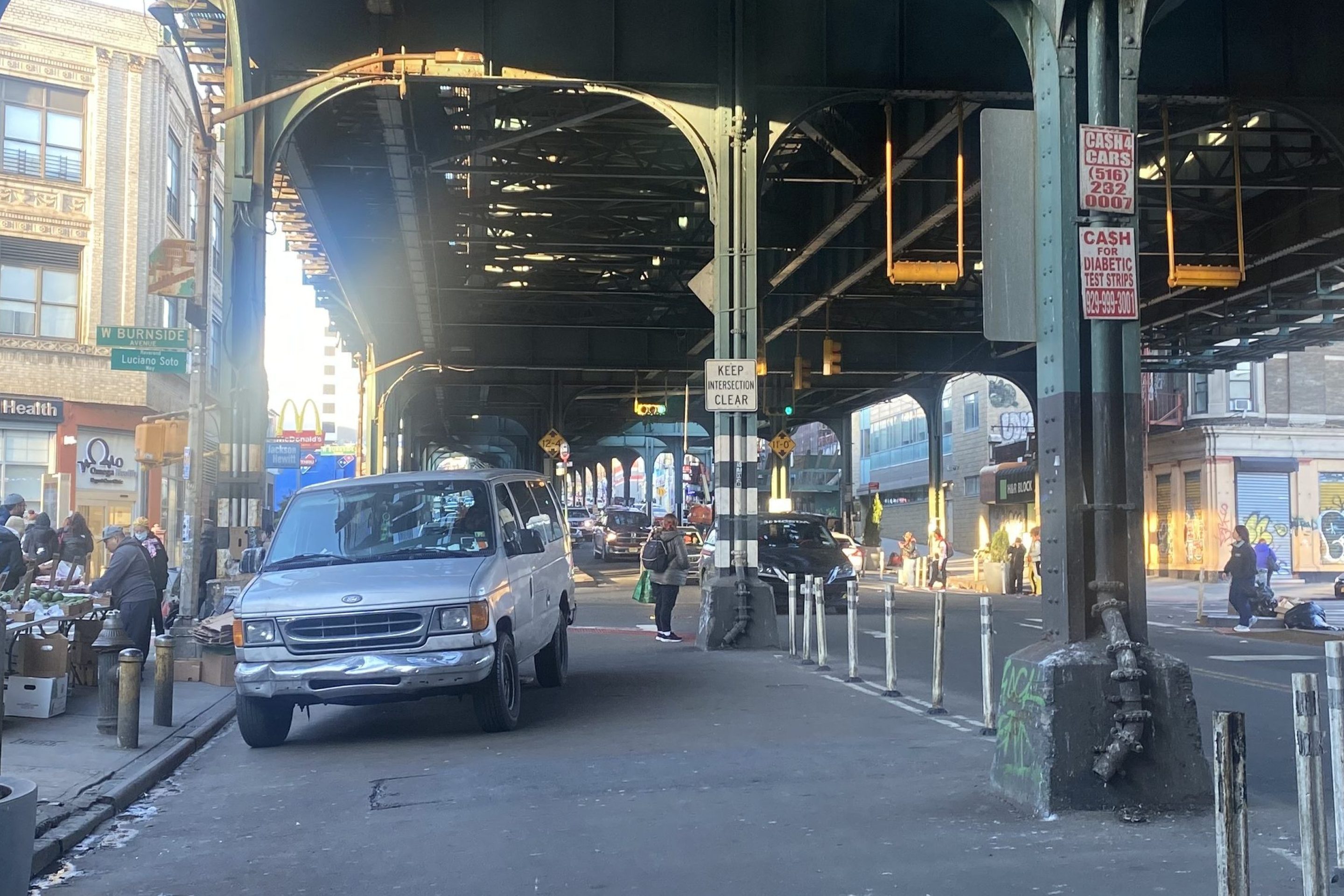
Daylight Again: Bronx Community Board Backs Parking Ban at Intersections
The Boogie Down is down with daylighting!
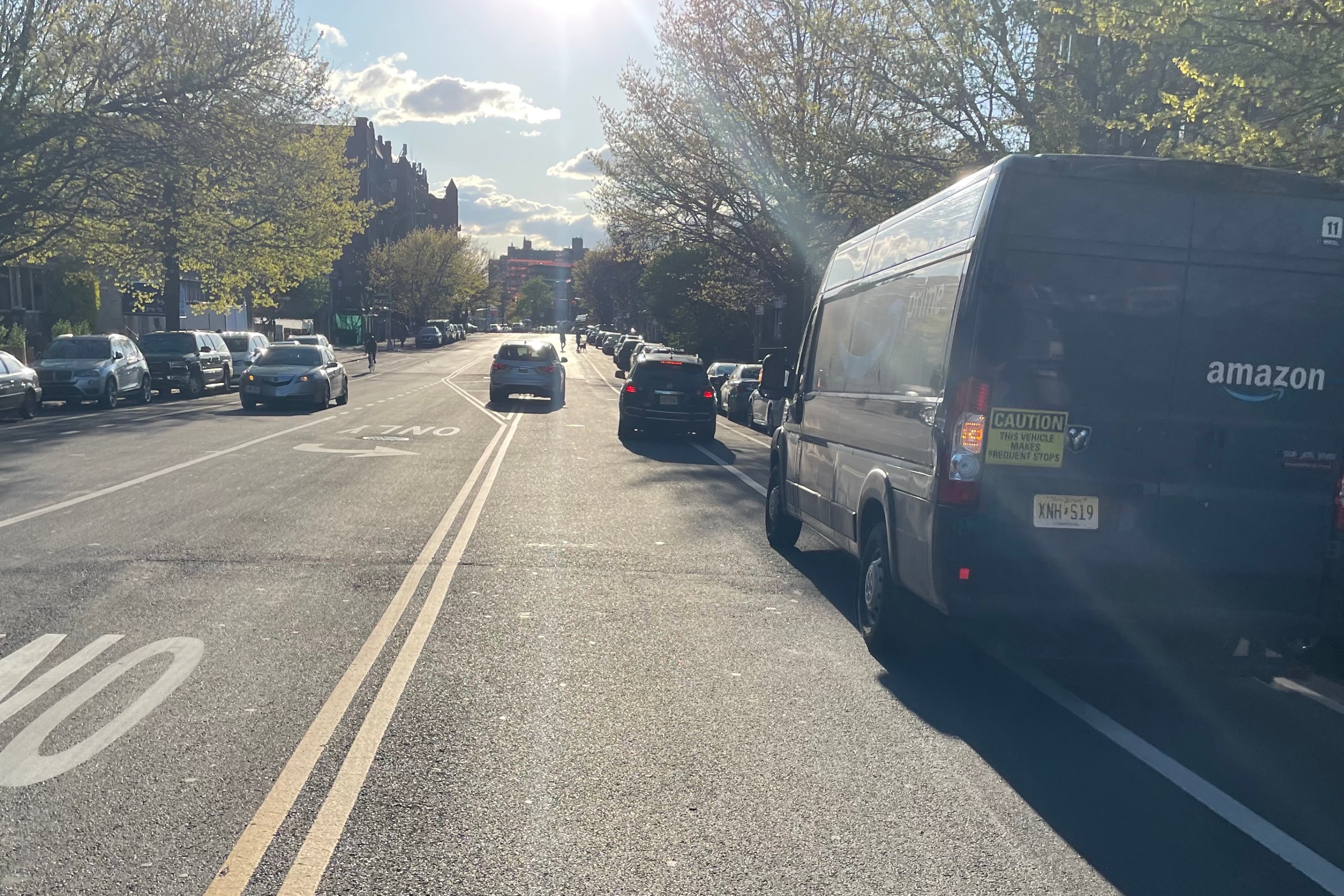
Community Board Wants Protected Bike Lane on Empire Blvd.
Brooklyn Community Board 9 wants city to upgrade Empire Boulevard's frequently blocked bike lane, which serves as a gateway to Prospect Park.
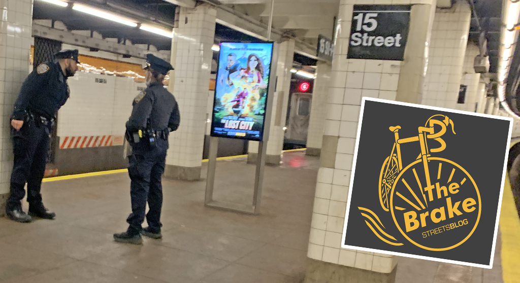
The Brake: Why We Can’t End Violence on Transit With More Police
Are more cops the answer to violence against transit workers, or is it only driving societal tensions that make attacks more frequent?
Report: Road Violence Hits Record in First Quarter of 2024
Sixty people died in the first three months of the year, 50 percent more than the first quarter of 2018, which was the safest opening three months of any Vision Zero year.