DOT’s Interactive Map Points the Way to a More Livable Jackson Heights

Since 2009, the Department of Transportation has been engaged in a major study of Jackson Heights’ streets and sidewalks. At the request of community groups and with federal funding from Rep. Joe Crowley, DOT has been developing a plan to make the neighborhood safer, less congested, and more transit-accessible. After two years of research and community engagement, DOT will be presenting its first recommendations next Saturday, February 12.
In preparation for the release of those plans, DOT has also launched a first-of-its-kind data portal collecting all the information about the Jackson Heights Transportation Study. (The portal was developed by a division of OpenPlans, Streetsblog’s parent organization.) Everything from community board presentations to raw, block-by-block data about parking occupancy is in one place.
The portal includes a new interactive map of Jackson Heights. Presenting information like vehicle speeds, pedestrian volumes, traffic crashes and parking occupancy, the map helps visualize what happens on the neighborhood’s streets. You can see, for example, how rampant double-parking blocks buses along Broadway: On one block, there are an average of 32 percent more cars parked than there are spaces. According to DOT, even more features should be available after next Saturday.
What’s presented on the 12th could also be extremely exciting. At presentations to Community Boards 3 and 4 last June, DOT proposed classifying all neighborhood streets into four categories laid out in the department’s Street Design Manual.
- Through streets would be redesigned to move vehicular traffic more efficiently, without causing speeding.
- Transit streets would have bus lanes, curb extensions at bus stops and lights coordinated with the buses. 74th and 75th Streets are likely candidates.
- Slow streets would calm traffic with re-timed signals and traffic-calming treatments like neckdowns.
- Some streets could be pedestrianized, with furniture and greenery creating new public spaces.
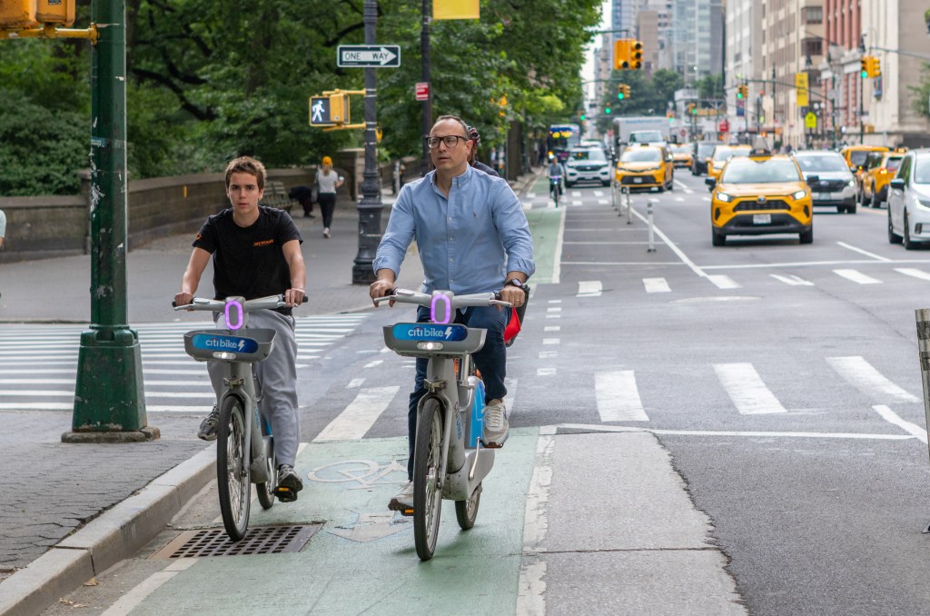
On top of that, DOT is looking at using curbside space more efficiently by adding more parking meters and extending metered hours, adding delivery zones for commercial vehicles, and using PARK Smart to price peak-hour parking more effectively. They’re also considering adding bike lanes and bike parking in the neighborhood.
Several ideas in this vein have been bubbling up through community-based efforts like the Green Agenda for Jackson Heights, a blueprint for making the neighborhood more sustainable released last spring.
All these possible improvements are only Phase I of the project, meaning they’re considered short-term improvements. Implementation would begin this spring. Phase II will explore larger improvements requiring either capital construction or more intense coordination with other agencies.
Of course, an ambitious list of potential improvements doesn’t necessarily turn into ambitious implementation. We’ll find out on the 12th.

Read More:
Streetsblog has migrated to a new comment system. New commenters can register directly in the comments section of any article. Returning commenters: your previous comments and display name have been preserved, but you'll need to reclaim your account by clicking "Forgot your password?" on the sign-in form, entering your email, and following the verification link to set a new password — this is required because passwords could not be carried over during the migration. For questions, contact tips@streetsblog.org.