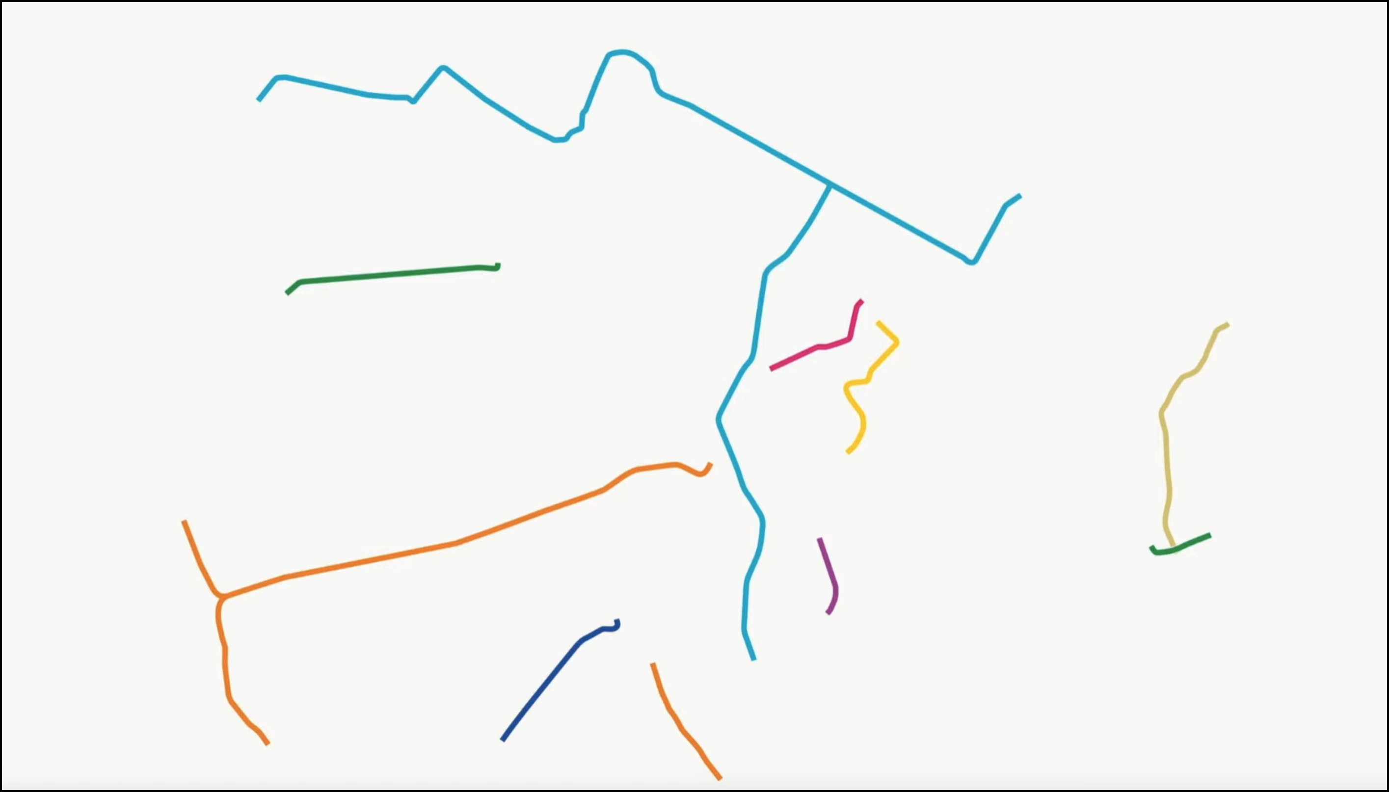
 Mapping bus speeds in Washington, D.C. Slower lines show up as dark blue. Image: Greater Greater Washington
A fresh look at old information can sometimes be all you need to better understand a knotty problem. And a fresh look is exactly what the Washington Metropolitan Area Transportation Authority provided with a new set of bus maps released this week. Using GPS data gathered last year, these maps show the average speed of the transit system's buses, painting a picture of where bus riders could use faster service.
David Alpert at Greater Greater Washington posted the images, with some strategic graphic adjustments, and offers the analytic insight that makes these maps important:
Closer to the core, the bus speeds are generally slower. That's a consequence partly of congestion, but also partly from bus stop density. Since there are more destinations and more riders in the central areas, there are more bus stops, and those stops have more riders, which take time to load and unload. DC could reduce some, but there will still be more and speeds will therefore be slower. It's where some lines are slower than their neighbors, sometimes much slower, that the difference becomes particularly useful.
Buses that are slower than they should be pop right out of the map. Where that's true, and especially where the number of buses stuck at a snail's pace is high, Alpert recommends bus lanes, queue jumpers, and signal priority as ways to speed buses along. If the slow speed is due to lots of riders getting on and off the bus, a common problem on popular routes, off-board fare collection might be another solution to look into.
Has your transit system or DOT put forward any useful ways of visualizing transportation information? Share it in comments.
More from around the network: Charleston Moves challenges a new ordinance that would outlaw locking your bike to a tree or sign. EcoVelo marks the opening of London's so-called bicycle superhighways. And the Hard Drive details Portland's big push to bring in electric cars.


