A Solution for Suburbs: Bypass the Roads
 A map of a neighborhood in Tigard, Oregon. Some of the proposed new trails are marked in blue.
The demand for walkable neighborhoods is up, but in order to fill that demand, we're going to have to transform our suburbs. How that might be accomplished was one of the most vexing issues discussed at last week's Walk21 Conference.
Suburban layouts aren't about connectivity; they're about space, with lots of separated roads and cul-de-sacs, and few direct routes from one place to another. But the folks at Kittelson & Associates, a transportation planning firm, have one suggestion: bypass roads entirely. That's what they're doing in Tigard, Oregon.
Tigard is a pretty typical Oregon suburb: It's about 10 miles from downtown Portland, it's 11.5 square miles, and about 47,000 people live there. That low density gave Kittelson and officials from the Oregon DOT the chance to connect areas of town by building trails that bypass roundabout suburban street design, allowing residents to easily walk or bike around their city, and get direct access to their neighbors, local businesses, and city parks. The idea came organically: For years, residents had carved out their own informal "desire paths" to get around. The Tigard Neighborhood Trails Project is meant to make existing trails safer, and to build new ones to form a better overall network.
On top of gathering community input at formal town meetings, Kittelson and ODOT also put together a website where residents could draw and comment on new trails on a Google Map, as well as point out existing informal ones. Jamie Parks, a planner on the project, said that the web interactivity made it so that far more members of the community had input into the project and, hopefully, will use the trails when they are completed.
The plan is done, and Tigard has begun implementing each trail, so it'll take some time to see how well this idea works out. Still, this could be a great way make disconnected suburban street networks much more walkable. It's a relatively cheap way too -- a network of 42 trails is set to cost approximately $1 million.
Stay in touch
Sign up for our free newsletter
More from Streetsblog New York City
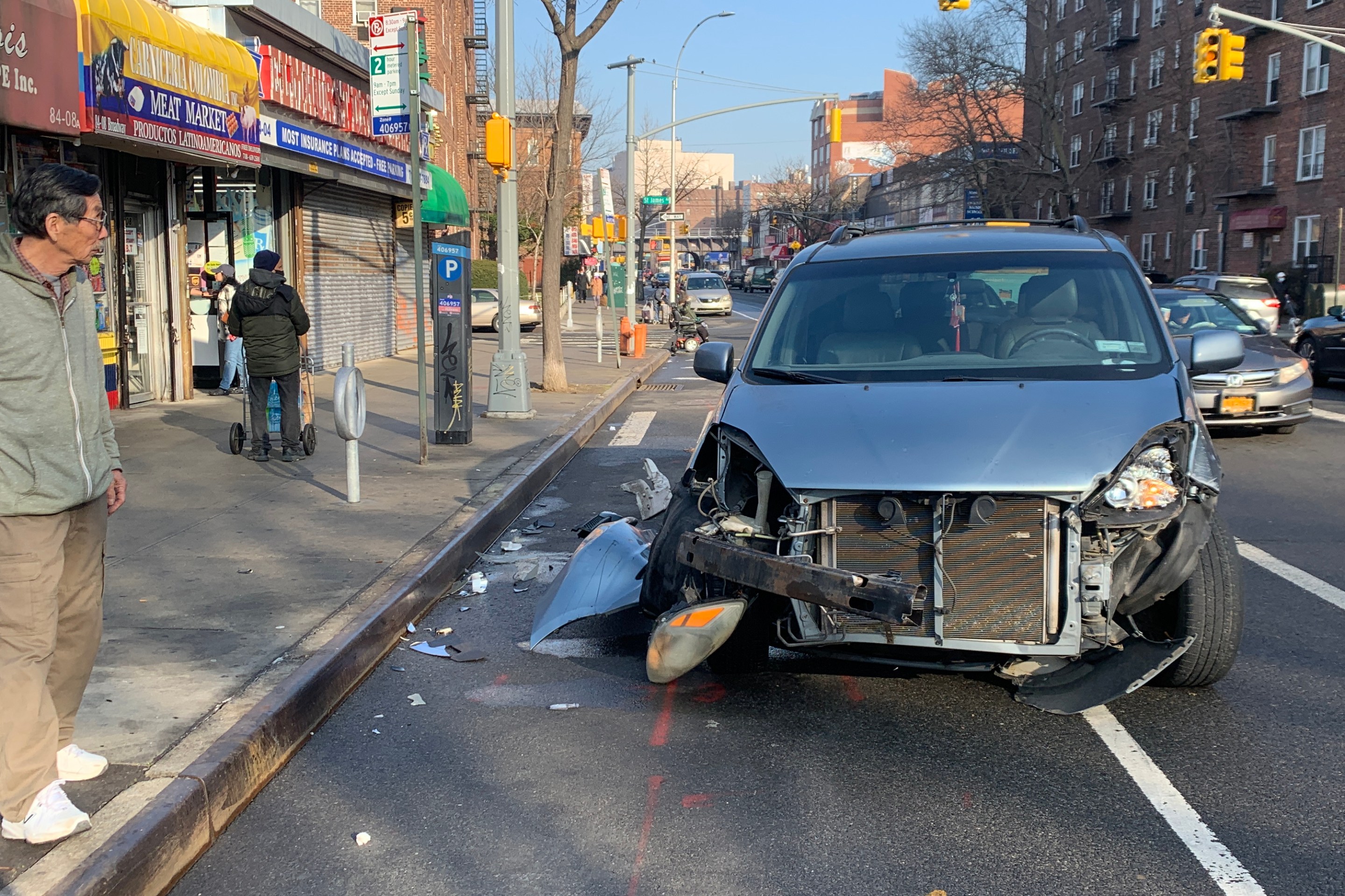
Friday’s Headlines: Canal Street Follies Edition
Manhattan Borough President Mark Levine isn't happy. Plus other news.
Daylight Again: Bronx Community Board Backs Parking Ban at Intersections
The Boogie Down is down with daylighting!
Community Board Wants Protected Bike Lane on Empire Blvd.
Brooklyn Community Board 9 wants city to upgrade Empire Boulevard's frequently blocked bike lane, which serves as a gateway to Prospect Park.
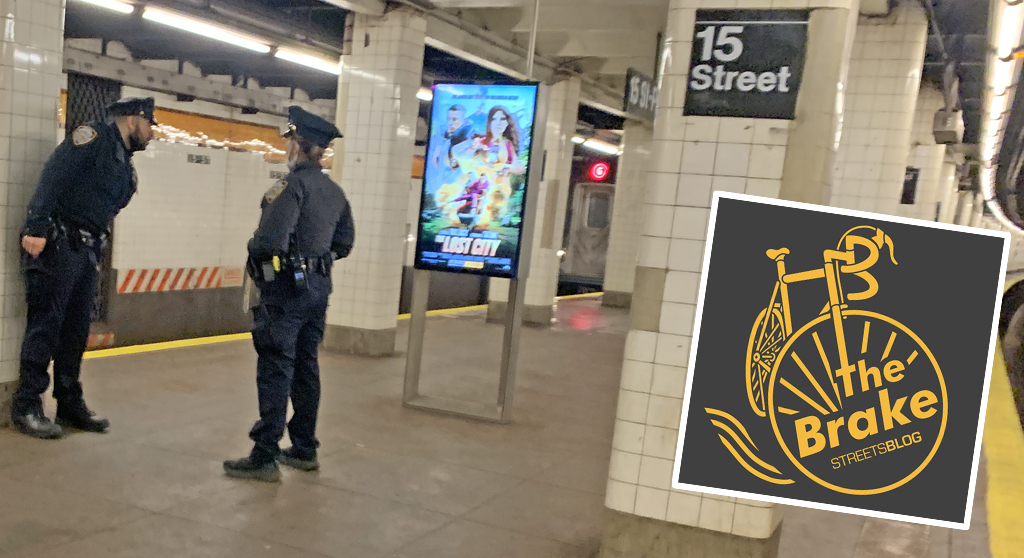
The Brake: Why We Can’t End Violence on Transit With More Police
Are more cops the answer to violence against transit workers, or is it only driving societal tensions that make attacks more frequent?
Report: Road Violence Hits Record in First Quarter of 2024
Sixty people died in the first three months of the year, 50 percent more than the first quarter of 2018, which was the safest opening three months of any Vision Zero year.