Wiki Wednesday: Community Mapping
 Bike trails in San Jose, CA, on OpenStreetMap
As a kid I used to periodically raid my grandparents' stash of National Geographics. Not for photos of women in scant native dress, but for the way cool maps, with which I would wallpaper my room.
Ironically, the maps did eventually give way to Paulina Porizkova posters, and the years have also seen them outmoded -- in function, if not aesthetically -- by amazing advances in cartography. (If you haven't seen it, this New Yorker piece from 2006 is an excellent primer.)
The latest and greatest innovations have brought about a renaissance in community mapping, the subject of this week's StreetsWiki entry.
Community Mapping is the creation of a map via a community-driven process, usually done to map non-traditional features, such as safe biking or walking routes, local trees and parks, and other aspects of community life. Community mapping has existed for hundreds of years, but recent advances in technology, such as GPS's and online mapping portals like Google Maps, have allowed the creation of better and more detailed maps, and have expanded their reach beyond small groups.
OpenStreetMap, for instance, functions like a Wikipedia for maps. Unlike proprietary services like Google Maps, OpenStreetMap operates under a Creative Commons license, and allows users to add and edit information collaboratively. Google Maps is of course also widely used for community mapping, Transportation Alternatives' CrashStat and the burgeoning Boston bike network being two examples.
Other projects employ more conventional means -- the still-viable, highly-mobile print product -- from Bay Area watershed mapping to New York's official cycling map (now available in PDF form).
Stay in touch
Sign up for our free newsletter
More from Streetsblog New York City
EXCLUSIVE: OMNY Debuts on Fair Fares After Delays
The long-awaited Fair Fares expansion will launch as a three-month pilot for a few dozen riders.

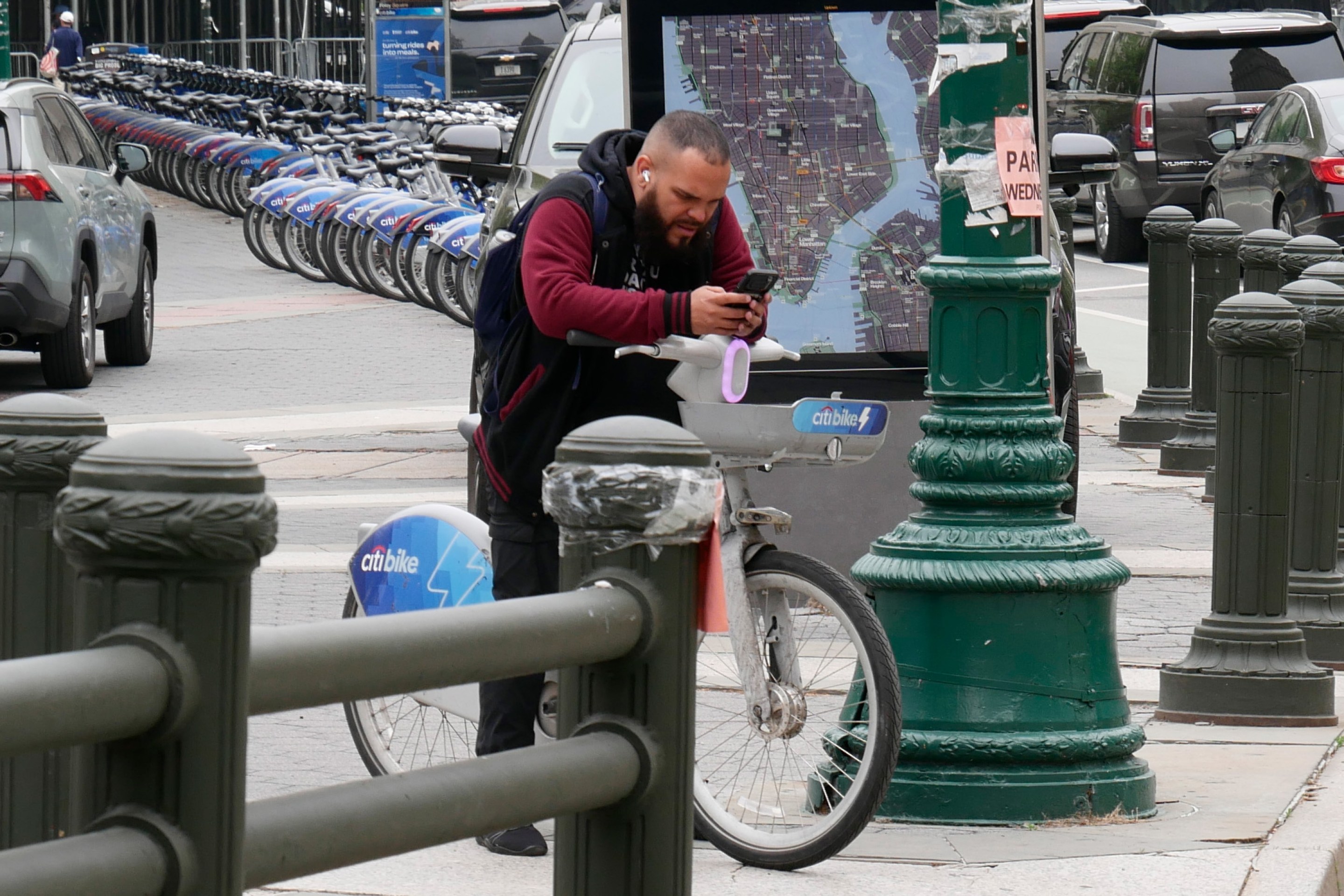
Good Luck Docking Your Citi Bike In Lower Manhattan
Many frustrated commuters to Lower Manhattan opted to simply abandon their Citi Bikes undocked due to the lack of open spots in the area.
Wednesday’s Headlines: ‘ACE’ in the Hole Edition
The MTA approved a $141-million contract to put hundreds of new automated traffic enforcement cameras on buses. Plus more news.
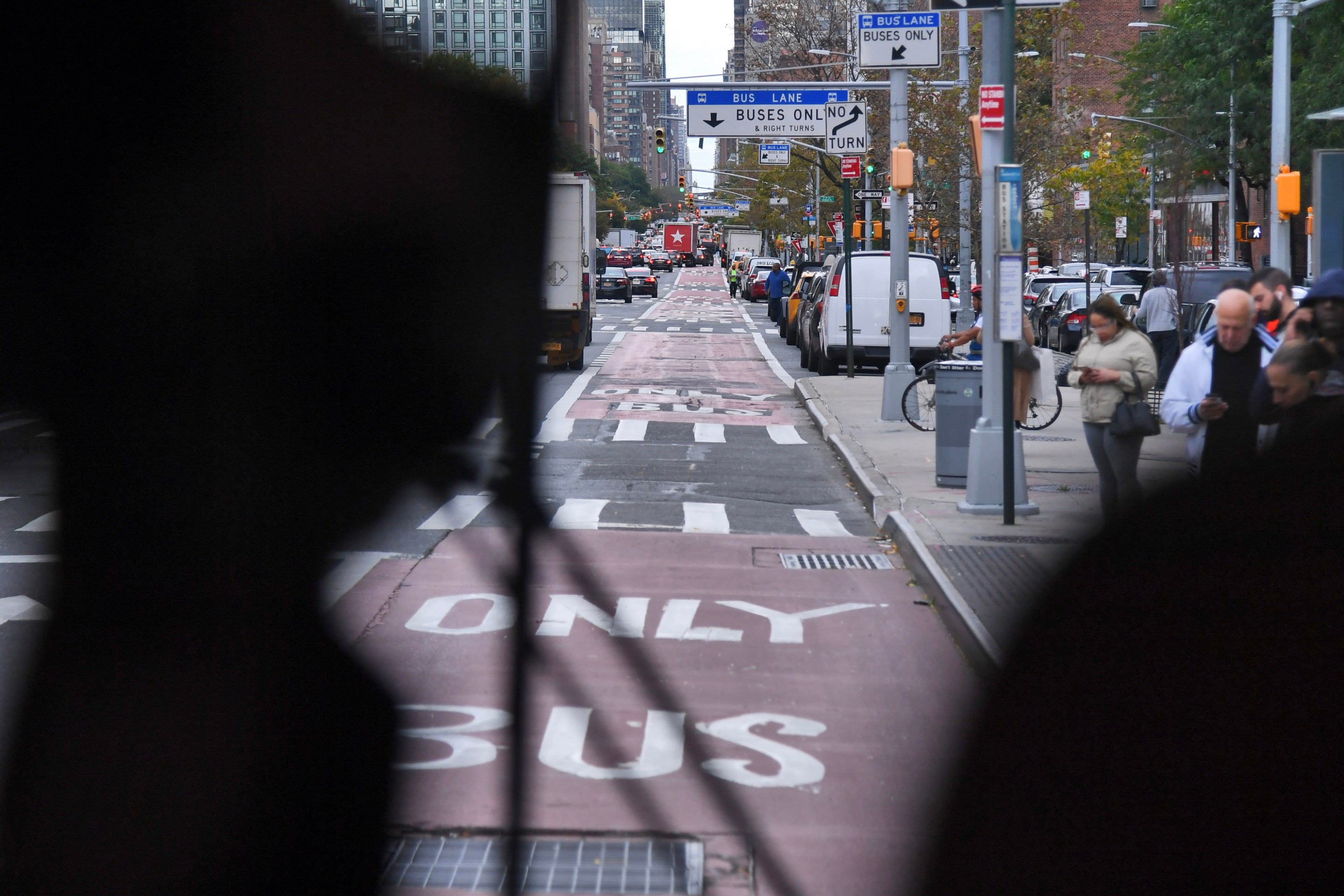
Trump Trial Street Closures Push Pedestrians, Cyclists into Busy Traffic
News vans have dangerously blocked the sidewalk and bike lane on Lafayette Street daily since Donald Trump's trial began nearby two weeks ago.

Eyes On The Street: Coastal Resiliency Causes Mess For Pedestrians and Cyclists
Unfortunately for cyclists and pedestrians, this situation won't be fixed until "at least 2026.”