Cyclists Ridicule DOT’s Band-Aid Solution in Washington Heights
The Department of Transportation is proposing a bare-bones network of bike lanes to connect the Bronx and the George Washington Bridge — and cyclists who frequent the bridge warn the changes will make little difference in an area plagued by steep streets and double-parking.
“The fact that in 2025 DOT is proposing traditional painted bike lanes and sharrows is frankly insulting. Why bother?” said Lucia Deng, who led the campaign for the Washington Bridge protected bike lane, which opened last summer. “DOT seems afraid to propose anything that impacts parking in any way.”
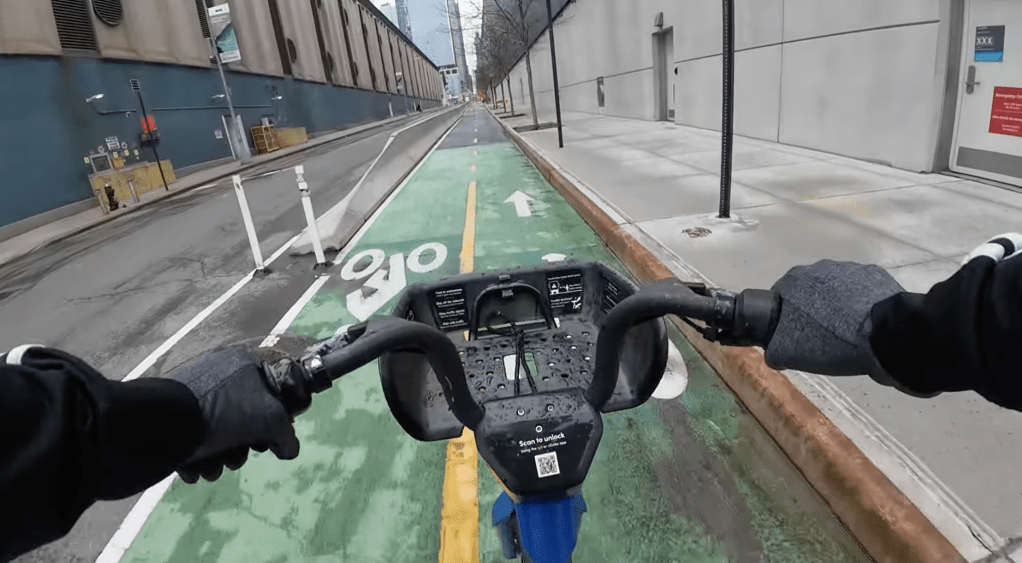
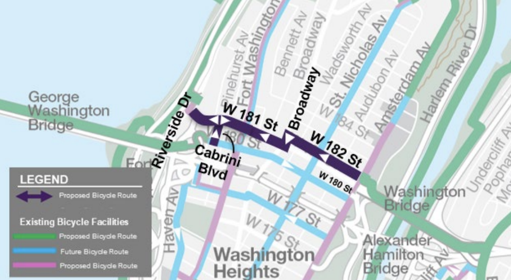
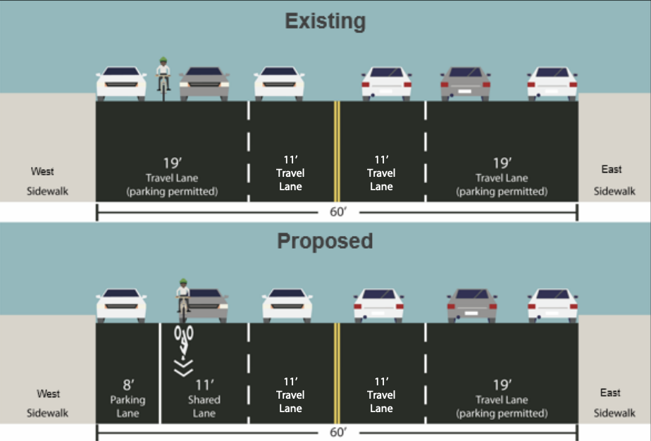
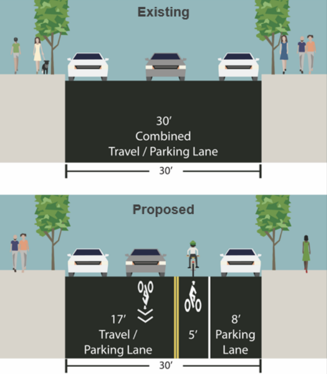
The Department of Transportation proposal for a new bicycle connection across Washington Heights includes zero protected bike lanes. Instead, DOT wants to put unprotected bike lanes on W. 182nd Street and W. 181st Street and meaningless “sharrow” markings on a block of Broadway [PDF].
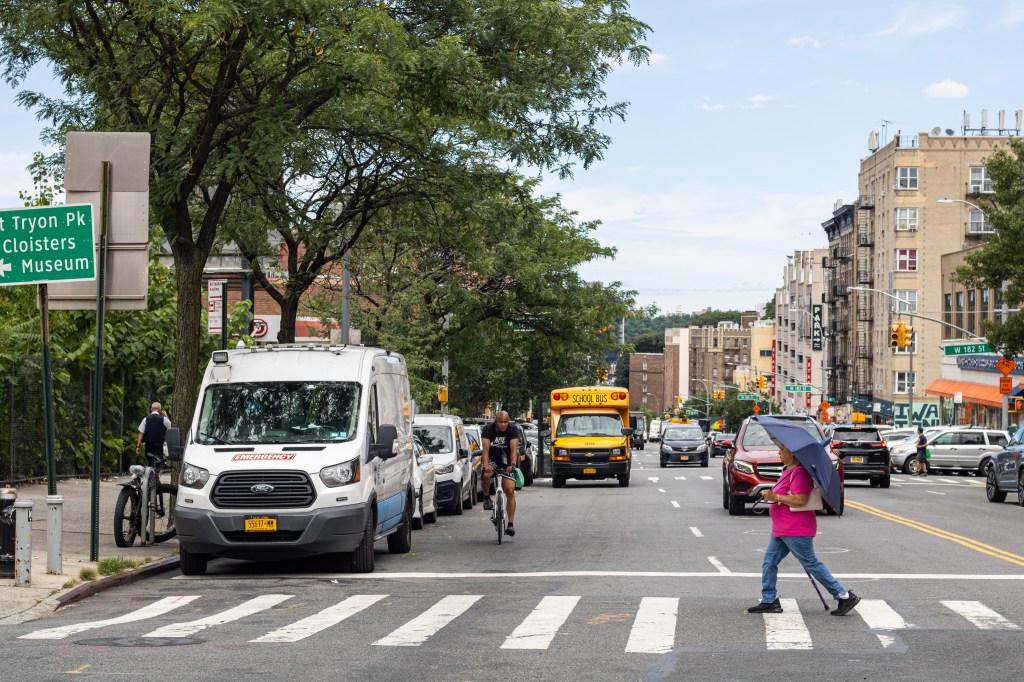
DOT’s proposal comes as more and more cyclists ride in the area thanks to recently expanded bike access on the GWB over the Hudson River and the separate Washington Bridge over the Harlem River. Unsafe driving and parking combine with hilly terrain to make the area particularly hairy on bike or foot.
There have been 128 crashes in the area between the two conduit bridges over the last two years, according to Crashmapper.org, injuring 37 pedestrians and 26 cyclists. In one incident last year, cyclist Jose Luis Zamora Rodriguez died after crashing into a double-parked truck at Fort Washington Avenue and W. 181st Street.
But the agency plan — an erratic mix of unprotected and “shared” lanes — does little for safety while ensuring it stays easy for drivers to double park on the route, advocates said.
“There’s a historical unwillingness to implement change,” said Felipe Castillo Trujillo, an avid cyclist who lives nearby.
DOT’s proposed redesign starts at the Manhattan-side of the Washington Bridge, which connects to the Bronx. There, DOT plans to put down a single stripe of paint down on W. 182nd Street between Amsterdam Avenue and Broadway for a separate, but not protected, bike lane.
The redesign then routes cyclists onto Broadway, an extra-wide four-lane road where DOT plans to add paltry “shared lane markings” to indicate that drivers must share the westernmost southbound lane with cyclists.
Those “sharrows” won’t make any difference, cyclists charged.
“That section of Broadway is just super busy, with cars turning in both directions,” said Marc Simkin, an avid cyclist and who organizes group bike rides for New York Cycle Club. “If it’s not a protected bike lane — whether dedicated or shared — it’s not making anything safer.”
After cyclists turn off Broadway onto W. 181st Street, DOT’s plan would give them another standard bike lane for three blocks to Fort Washington Avenue. Going west, the road will return to sharrows to Haven Avenue.
On the last block of 181st before Riverside Drive, the city plan would again put down painted bike lanes in either direction. Cyclists headed to the George Washington Bridge’s north sidewalk would get a contraflow path on Cabrini Boulevard between W. 181st Street and W. 180th Street.
Cyclists told Streetsblog that they expect lots of vehicular obstructions in the unprotected bike lanes and sharrows.
“DOT and all drivers, cyclists, pedestrians and NYPD know that paint on the ground is just going to be ignored,” Deng said. “The only thing that could make the corridor safer in any meaningful way is actually physically protected bike infrastructure such as physically hardened daylighting at every intersection, loading zones, parking meters and physically protected bike lanes.”
The proposed lanes will, in effect, take cyclists on a rollercoaster up to the crest of a hill, down toward the Hudson River and then back up again with a climb to the GWB — hardly an ideal commute for pedal pushers.
Drivers from New Jersey often come across the GWB and park their vehicles in Washington Heights in an attempt to avoid Lower Manhattan’s congestion pricing, locals said. As a result, on any given day cyclists must navigate a maze of double-parked cars.
“Regardless of where you’re riding, your head has to be on a swivel. You never know what you’re going to get,” said Simkin. “You have to ride in the middle of the street unless you get doored. Those streets are not in the best of conditions, so you’re running an obstacle course. You have drivers who don’t think you belong there.”

Streetsblog has migrated to a new comment system. New commenters can register directly in the comments section of any article. Returning commenters: your previous comments and display name have been preserved, but you'll need to reclaim your account by clicking "Forgot your password?" on the sign-in form, entering your email, and following the verification link to set a new password — this is required because passwords could not be carried over during the migration. For questions, contact tips@streetsblog.org.