A decade-in-the-making plan to transform Atlantic Avenue from an inhospitable car-sewer into a pedestrian-and-bike-friendly corridor with affordable housing and mixed-use development took one, tiny, step forward last week with the release of a new city planning document — but the Department of Transportation is already expressing doubts about a long-sought bike lane.
Despite 10 years of community engagement, the Department of City Planning's Atlantic Avenue Mixed-Use Plan merely outlines suggestions and bullet points but still lacks concrete next steps, meaning that the transformation of Atlantic Avenue into anything other than a six-lane speedway is years away.
But the journey of even just one short mile begins with a single step, said the local Council member.
“For more than a decade, the community surrounding Atlantic Avenue has called for a new vision for this dangerous corridor that delivers more deeply affordable housing, increased investments in the area’s local economy, safer streets, and greater consideration of local infrastructure needs,” said Council Member Crystal Hudson (D-Prospect Heights), adding that the "exhaustive" report has delivered "a framework that brings us closer toward pursuing comprehensive planning across the five boroughs."
City Planning's 112-page report acknowledges the dangers of a roadway “designed almost exclusively for private vehicular access.” And compounding the problem, many of the auto body shops along the strip store their private cars and equipment on the sidewalk, obstructing the pathway for pedestrians.
The project area comprises 13 blocks of Atlantic Avenue between Vanderbilt and Nostrand avenues, plus adjacent blocks — the industrial border-zone portions of Crown Heights, Prospect Heights, Bedford-Stuyvesant, and Clinton Hill. In Hudson’s district, 68 percent of households do not have access to a car and only 10 percent of commuters drive alone to work, according to city data mapped by the Massachusetts Institute of Technology.
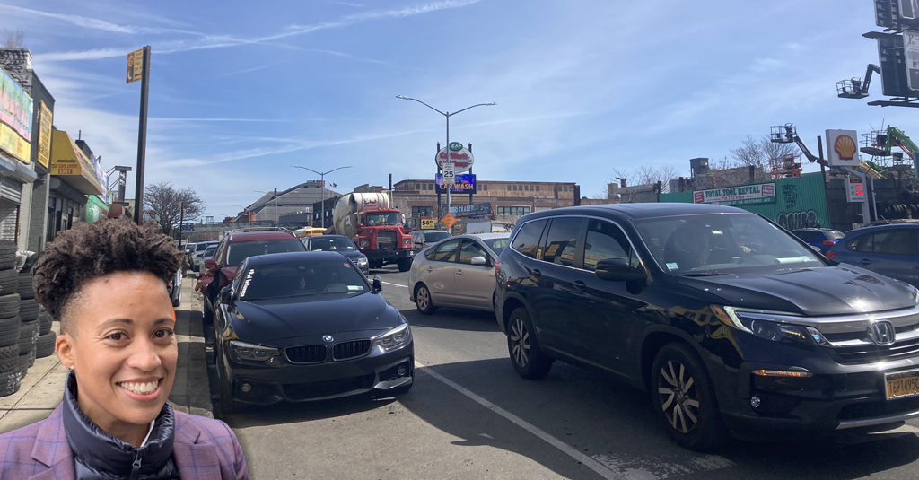
But considered one of the most dangerous corridors in Brooklyn, little has been done to make Atlantic Avenue safer. In the three years since Sept. 1, 2020, there have been a whopping 472 reported crashes between Brooklyn and Washington avenues, causing 289 injuries and one pedestrian fatality, according to city data compiled by Crash Mapper.
And last year, there were 166 reported crashes or one almost every other day, injuring 126 people.
The new report is an offshoot of the Manufacturing, Commercial, Residential Opportunity for a Working Neighborhood, or M-CROWN, which was conceived of in 2013 by the local community board. It includes the word “engagement” 73 times and reveals six community needs:
- New, permanent, deeply affordable housing through increased density along Atlantic Avenue and surrounding streets.
- Zoning that fosters mixed-use development to encourage local job opportunities.
- A comprehensive redesign of Atlantic Avenue to improve safety quickly. Community members specifically called for bike boulevards on Bergen and Dean streets, raised crosswalks, and solutions to help minimize the impact of heavy truck traffic.
- New public greenspace.
- Job training and business development that prioritizes Black-owned and M/WBE businesses.
- Add community amenities to the Bedford-Atlantic Armory.
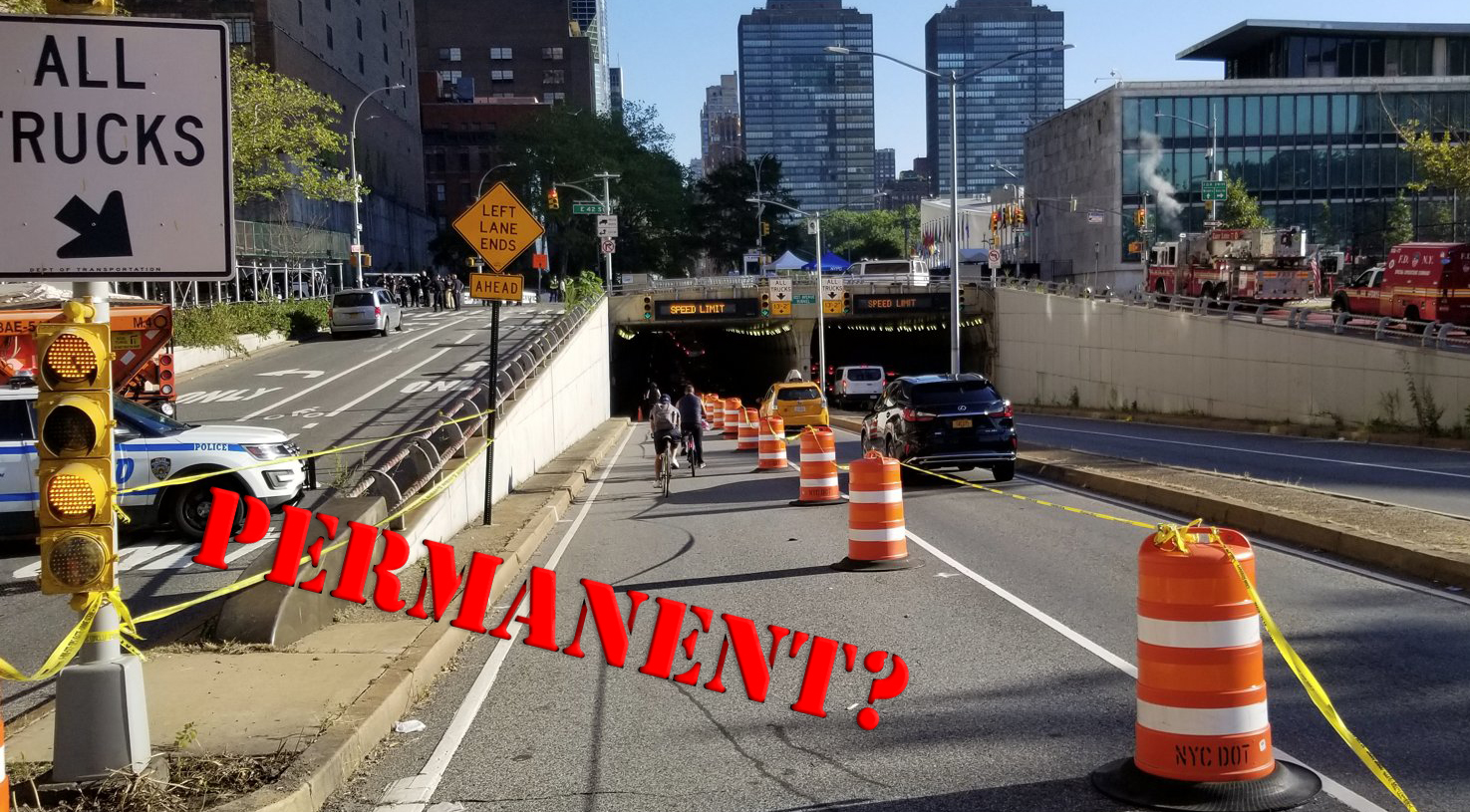
It's unclear whether the city can achieve the street safety goals. When some members of the community called for a protected bike lane on Atlantic Avenue, the Department of Transportation “expressed concern about mixing bicycle and truck traffic,” according to the report.
A spokesperson for the Department of Transportation said the agency is “reviewing” the community’s recommendations, but declined to comment on its specific concern.
City Planning says it expects to kick off the rezoning application, known as Uniformed Land Use Review Procedure, this spring. But this is no mere 10-month ULURP process: A similar rezoning along Brooklyn's Fourth Avenue was approved in 2003 and has resulted in a construction boom of many high-rise apartment buildings that continues to this day.
And 16 years after the zoning change, DOT installed the long-sought protected bike lane.
One private developer is already planning for a future Atlantic Avenue, with fewer cars and more public space, Streetsblog reported last year.
Real-estate firm EMP Capital proposed a 17-story, 200-unit mixed-use development at 1034 Atlantic Ave. between Classon and Grand avenues. The developer hopes to make that zone safer and more accessible for pedestrians by widening the sidewalk from the current roughly 12-to-13 feet to a proposed 20 feet; building out bioswales that would extend tree pits by 10 feet and remove at least three parking spaces; and even transforming the crosswalk at Atlantic and Classon avenues to slow down turning traffic.
“It's a 180-degree shift from what's there, make something palatable to pedestrians, and a more pleasant place,” Nick Liberis, the architect of the project, previously told Streetsblog. “This street is a major artery and we think it’s something that could probably be a template for future development.”
City Planning will share the draft zoning framework at a virtual discussion on Wednesday, Sept. 6. Register for the discussion here.