Meatpacking BID Plans Pedestrian ‘Oasis’ Near Hudson River
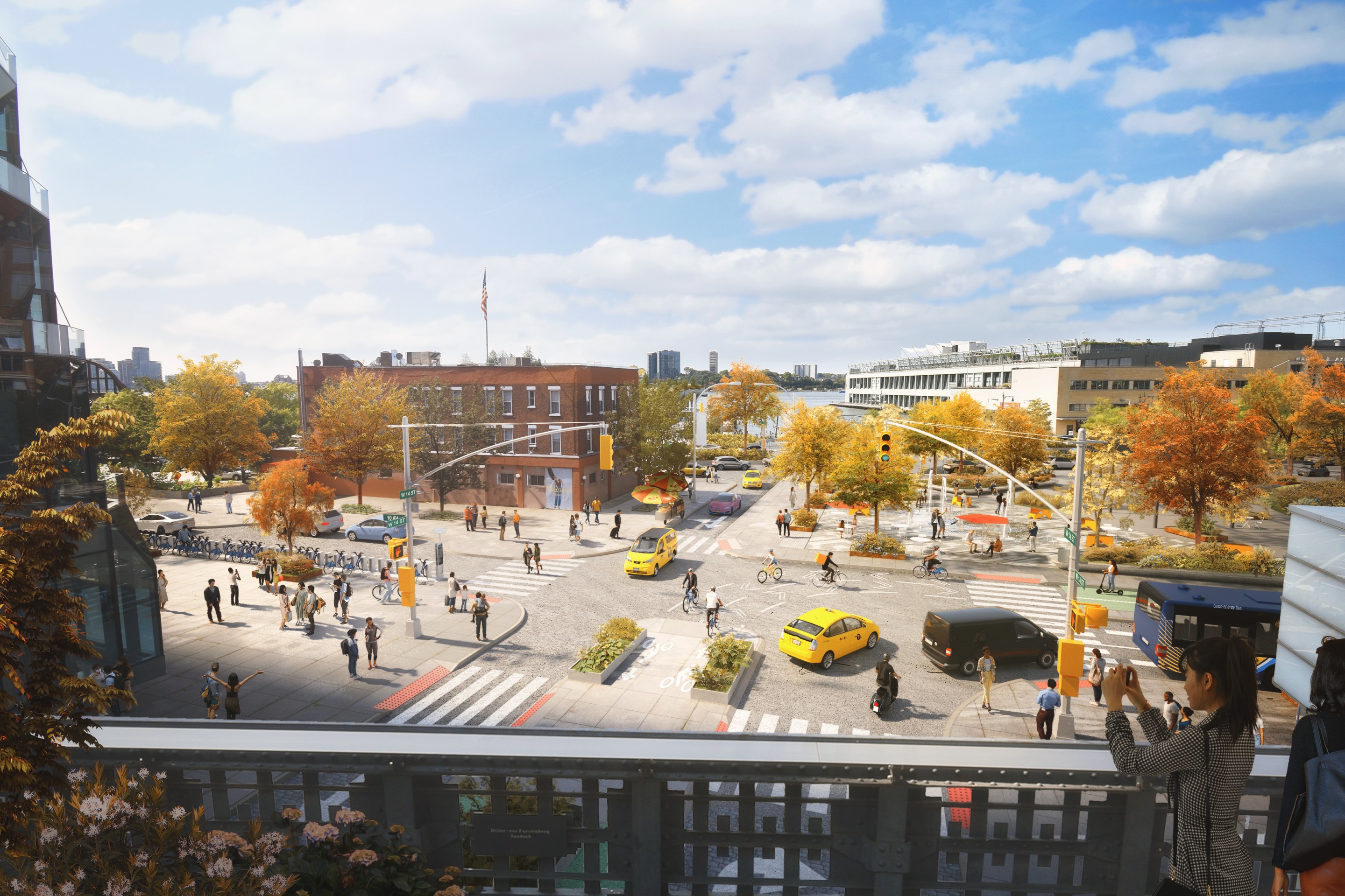
Among the livable-street improvements the Meatpacking BID is proposing is a simplified intersection at 14th Street and 10th Avenue with safety infrastructure for all users. Rendering: Meatpacking BID
Let's put some meat on these good bones.
The formerly industrial streets in Manhattan's Meatpacking District will become a pedestrian paradise, if the area's business improvement district has its way.
The Meatpacking Business Improvement District, long a laboratory for progressive pedestrian design and sanitation innovation, hopes to extend its vision for people-centered streets all the way to the Hudson River — by bringing to the largely unimproved roadways nearer the waterfront the kind of popular plazas that it created in other parts of the district.
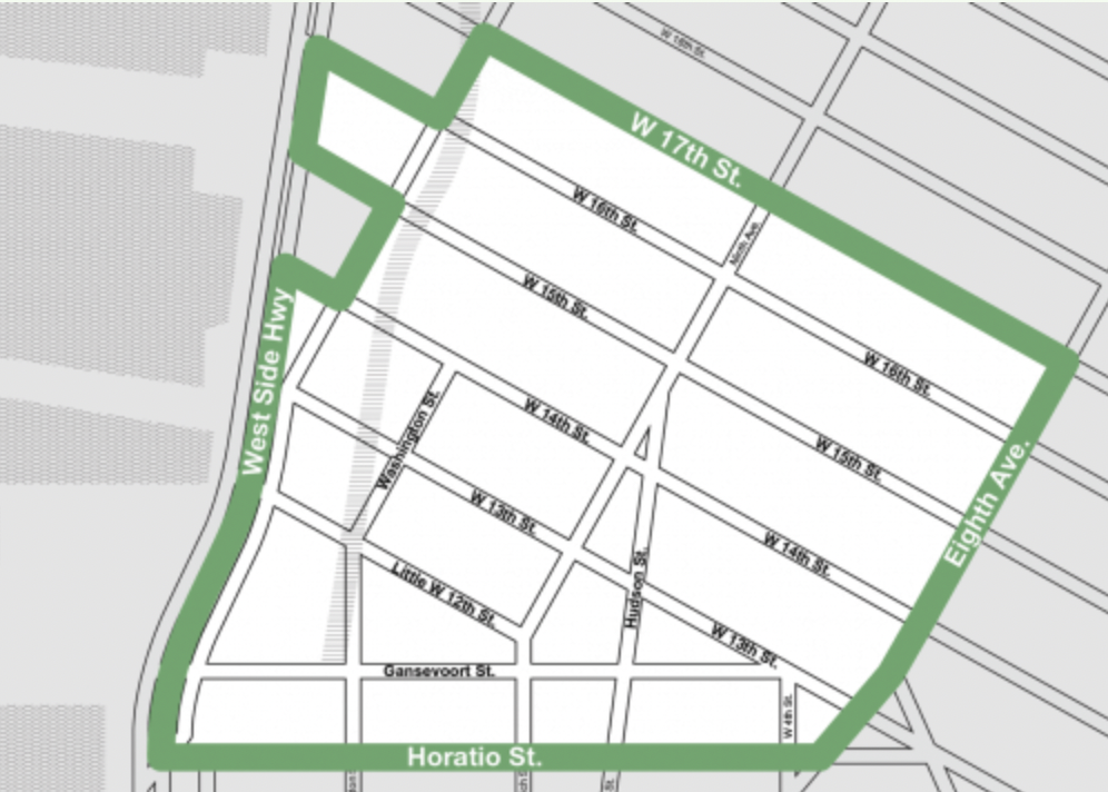
The changes come in the form of the BID's ambitious "Western Gateway Vision Plan," which seeks to create a welcoming space for pedestrians while rationally managing curbside access for the trucks and for-hire vehicles that service businesses. The BID, which worked on the plan with WXY architecture + urban design and Sam Schwartz Engineering, unveiled the document at its annual meeting on Sept. 29.
"All of these streets had different uses, most of which were to support trucks," Meatpacking BID Executive Director Jeffrey LeFrancois said of the area, where goods were moved by locomotive before there were automobiles. "Those trucks have been replaced by people."
The goal is to turn the district’s western streets into "an oasis for pedestrians and a front porch looking onto the Hudson River,” making it "New York City’s first true pedestrian-priority district and its preeminent place to see and be seen,” in the words of Claire Weisz FAIA, founding Principal of WXY architecture + urban design.
The plan would link the shopping and pedestrian areas further east with attractions including the High Line Park (the site of a former train line, running between the Village and the West 30s), the Whitney Museum (at Gansevoort Street), Little Island (a man-made attraction in the river), Pier 57's rooftop park and Hudson River Park (which holds the southern end of the Hudson River Greenway — the nation's busiest bike path). In this way, the plan would cap the district's 30-year rise from gradually dying businesses and underground clubs into a venue for shopping, strolling and nightlife.
Buttressing the vision is an "Area Needs Report" that "calls out a range of locations with high pedestrian/vehicular conflict, confusing intersections, corridors with poor urban design, and underutilized areas" and "looks at traffic circulation throughout the area, bike and truck access, and crash locations" with an eye toward promoting safety.
The plan is only the latest in a raft of pedestrian and public-realm improvement ideas pushed forward by BIDs. Such public-private partnerships cover just 2 percent of the area of the five boroughs, but BIDs have steadily transformed major shopping and commercial districts in the city's core into some of Gotham's most people-friendly streets. During the past two decades, BIDs in the Financial District, Madison Square, Herald Square, Times Square, Hudson Square, Union Square, SoHo-Broadway and the Downtown Brooklyn have instituted or announced far-reaching plans to create better conditions for pedestrians — even as the city's Department of Transportation has dragged its feet. The pedestrianized areas have become favorites of locals and tourists alike, bolstering the BIDs' members and the city's economy in so many ways that Mayor Adams sees them as key to the city's post-pandemic recovery.
The downside of leaving such innovations in the hands of business interests, however, is that wealthy, largely White areas reap the benefits while underserved neighborhoods without BIDs languish. That has spawned a movement for public-space management in order to address the equity concerns. The Adams administration has proved cool to such proposals. In the meantime, the BIDs are moving ahead.
Among the improvements proposed by the Western Gateway plan are:
- A "gateway median" on 14th Street (now a wide, chaotic, vehicle-focused corridor), which would provide walkers and bikers coming from the stores around the Chelsea Market at Ninth Avenue and 15th Street with better access to the Hudson Greenway and the hospitality-focused businesses along the stretch.
- A "slow street" (an arrangement in which all road users share the street at a reduced speed) on Washington Street along the High Line, which would rationalize a confusing two-way street by making it one-way and creating pedestrian bump outs as well as loading zones for taxi and freight drop off.
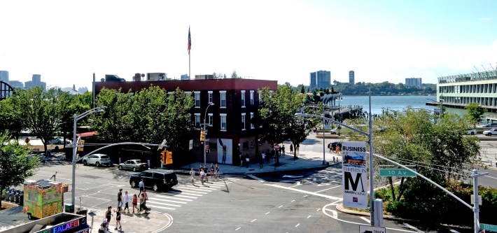
- Plazas at Gansevoort Landing (now an underused stretch of roadway where drag racers perform wheelies), connecting the district to a park that is under construction Gansevoort Peninsula with a new crossing.
- A "micro-distribution hub" on 10th Avenue in order to provide for the needs of businesses.
"We are a commercial district, and commerce needs to move on the wholesale and retail side," LeFrancois said. About 7,000 people live in the area.
"We looked beyond the typical street design toolbox — to shared streets, time-of-day access management, and new approaches to back-of-house operations,” in order to accommodate "the logistical demands of the remaining meatpacking and industrial businesses while creating safer, more walkable streets," said Mike Flynn, the chief planned at Sam Schwartz Engineering.
The BID — a lodestar of tactical urbanism in the city — purposely did not attach any price figures for its proposed improvements, LeFrancois said, preferring to map out its vision in interim and final versions so that it could try out solutions quickly before committing to big-dollar changes. It brought its proposal to Community Boards 2 and 4, property holders, block associations, and businesses, including through a digital business survey before announcing it.
"We want to figure out what works and what doesn't," LeFrancois said.
Stay in touch
Sign up for our free newsletter
More from Streetsblog New York City
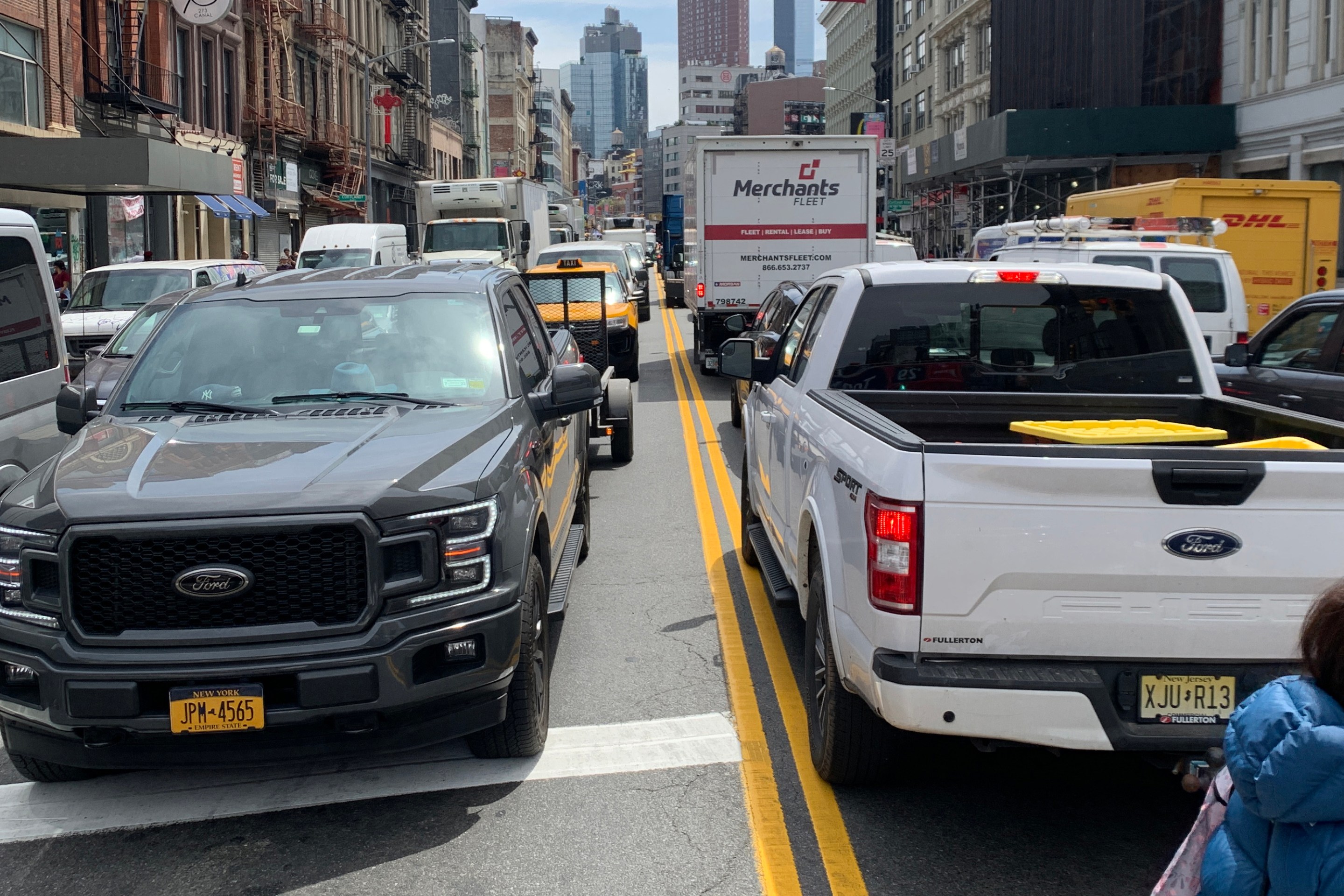
Friday’s Headlines: Canal Street Follies Edition
Manhattan Borough President Mark Levine isn't happy. Plus other news.
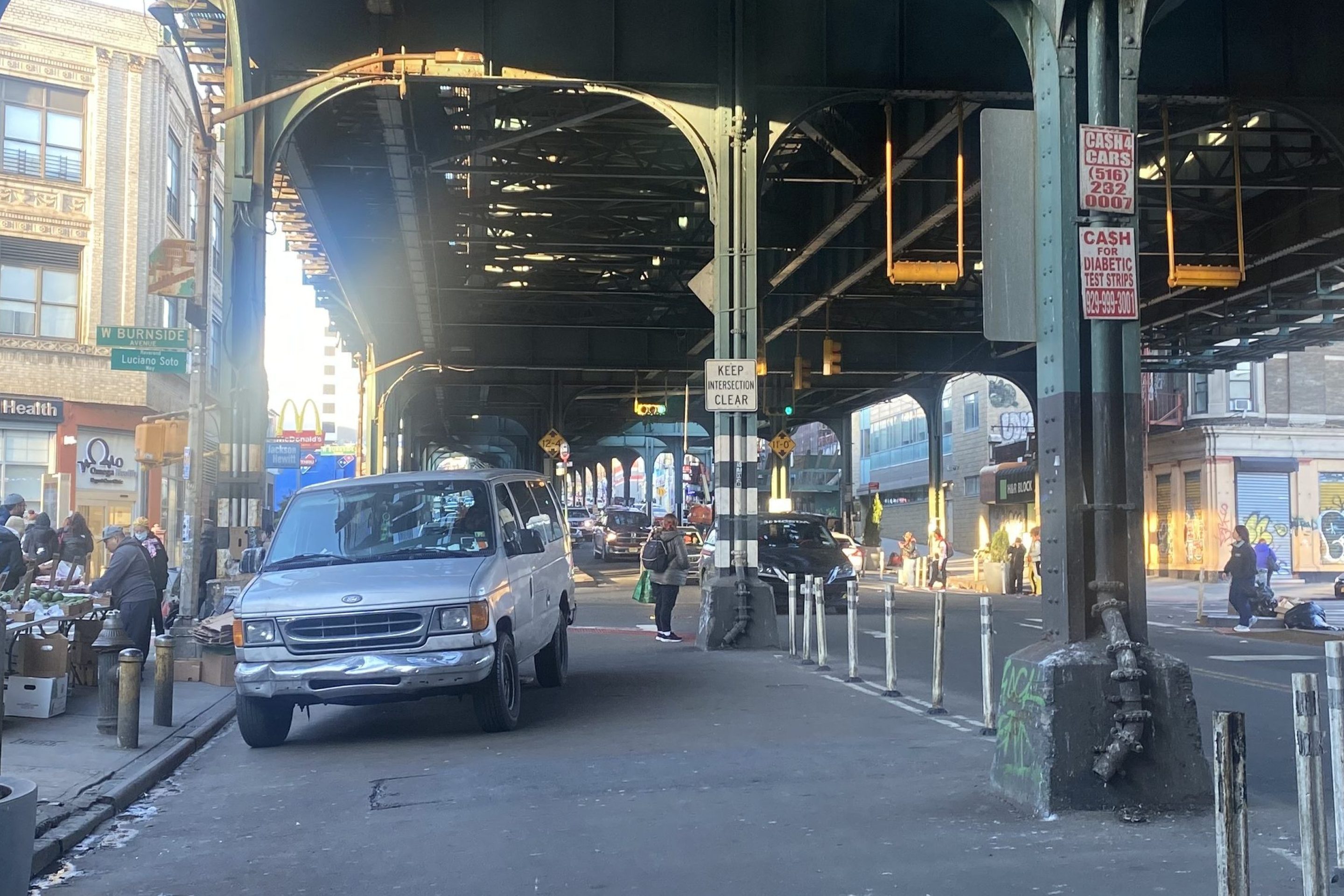
Daylight Again: Bronx Community Board Backs Parking Ban at Intersections
The Boogie Down is down with daylighting!
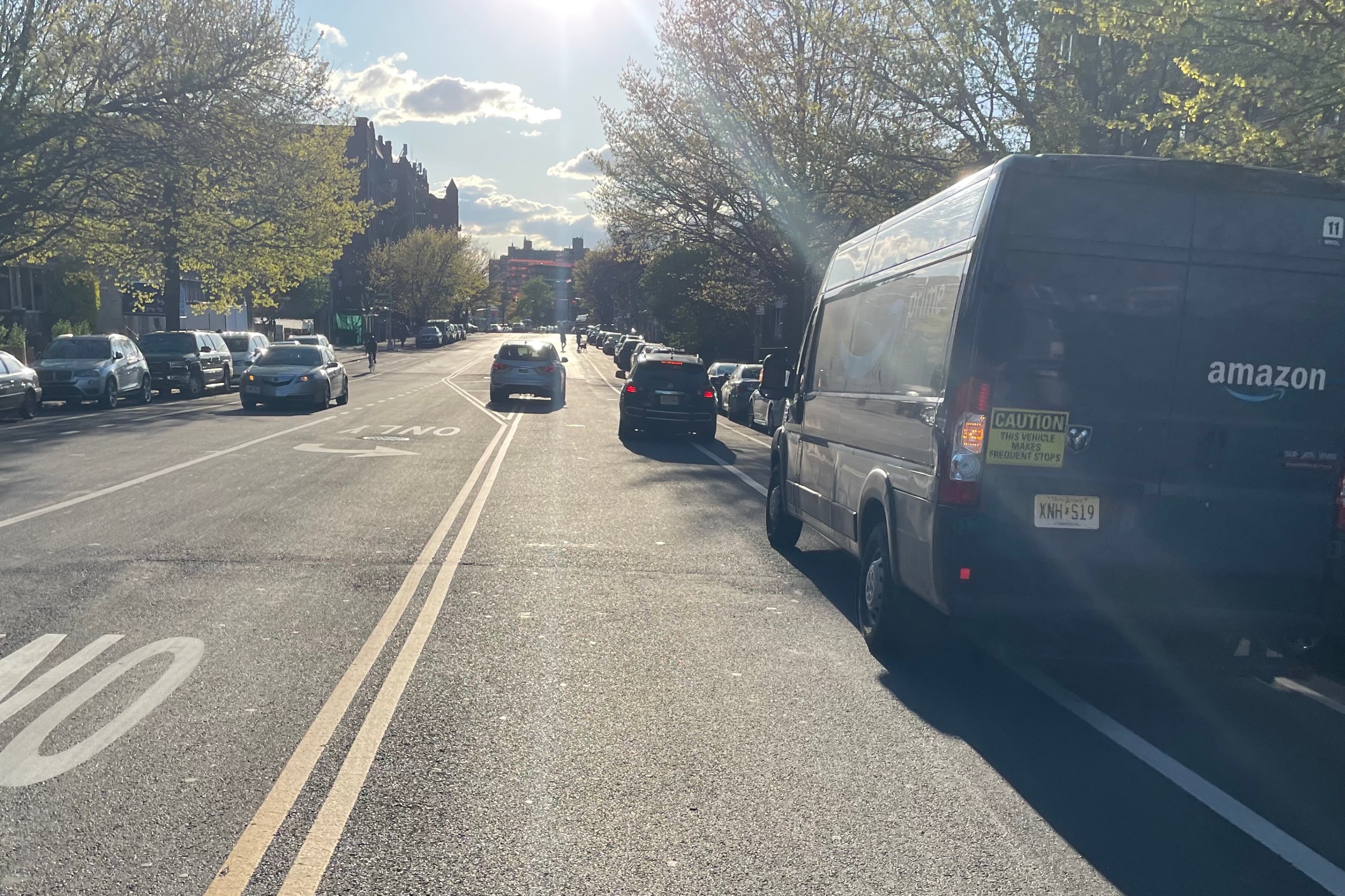
Community Board Wants Protected Bike Lane on Empire Blvd.
Brooklyn Community Board 9 wants city to upgrade Empire Boulevard's frequently blocked bike lane, which serves as a gateway to Prospect Park.
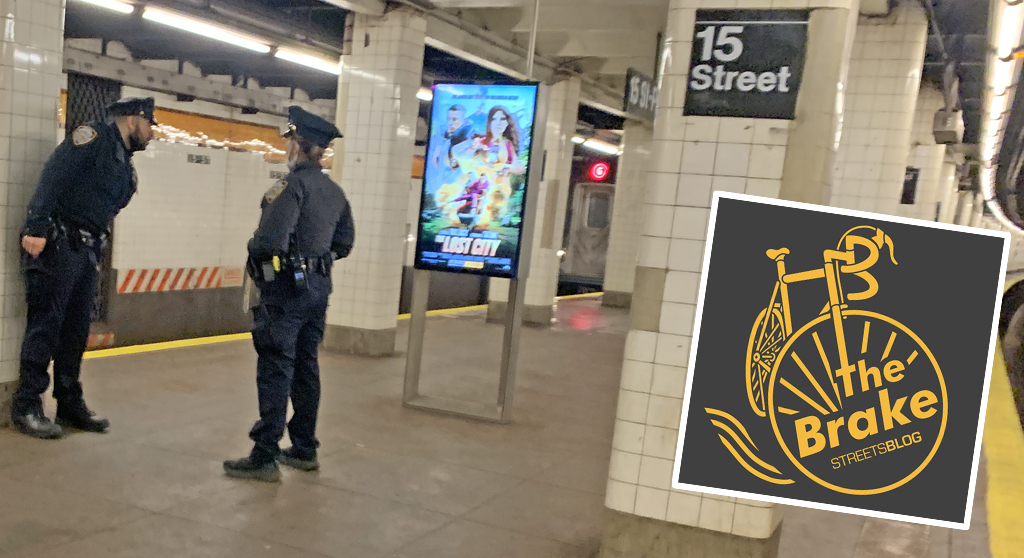
The Brake: Why We Can’t End Violence on Transit With More Police
Are more cops the answer to violence against transit workers, or is it only driving societal tensions that make attacks more frequent?
Report: Road Violence Hits Record in First Quarter of 2024
Sixty people died in the first three months of the year, 50 percent more than the first quarter of 2018, which was the safest opening three months of any Vision Zero year.