More Details From DOT’s Plan to Add Protected Bike Lanes to Queens Blvd

Here's a closer look at DOT's plan to add protected bike lanes and pedestrian safety measures to 1.3 miles of Queens Boulevard. DOT will be presenting these slides tonight to the Queens Community Board 2 transportation committee [PDF].
The top image shows the proposed layout on blocks where drivers can exit the central roadway to access the service lanes. The right-turn bays with tight angles, stop signs, marked crosswalks, and bike chevrons will replace this "slip lane" design that lets drivers enter the service road at speed:

On some blocks, the slip lanes will be filled in entirely to create uninterrupted walkways and bikeways:

At 60th Street, the proposal calls for filling in gaps between medians to create public spaces:

Queens Boulevard has several different configurations and gets especially hairy when drivers are entering or exiting highways like the BQE. The bike lane design has to navigate these transitions, which can be less than ideal.
On the western side of the project, the bike lanes end at 51st Street, where sharrows will guide cyclists to Roosevelt Avenue. Riders looking for a less stressful route can use 50th and 51st Streets to access the painted bike lanes on Skillman Avenue and 43rd Avenue, which connect to Queens Plaza through Sunnyside:
![The protected bikeway gives way to sharrows on the final block before Roosevelt Avenue. Image: DOT [PDF]](http://www.streetsblog.org/wp-content/uploads/2015/03/Screen-shot-2015-03-31-at-3.02.42-PM1.png)
Gaps in the median where drivers leave the service lane and get on to the main roadway, like the one at 63rd Street, will still let drivers cross the bike path at potentially unsafe speeds:
![While slip lanes coming from the main line to the service road will have sharper angles and stop signs, drivers accelerating onto the center roadway will have shallower angles as they cross the paths of cyclists. Image: DOT [PDF]](http://www.streetsblog.org/wp-content/uploads/2015/03/Screen-shot-2015-03-31-at-3.04.03-PM.png)
Today, drivers going from eastbound Queens Boulevard to the Brooklyn Queens Expressway, bound for the Bronx or LaGuardia Airport, must exit the main roadway after 58th Place, using the service road for six blocks before getting on the highway. On this stretch, the service road is two lanes wide instead of one.
Under DOT's plan, BQE-bound drivers would stay in the center roadway, exiting after 65th Place directly onto the highway ramp at a new traffic signal. This signal will keep turning drivers stopped while pedestrians and cyclists have the right of way to proceed along Queens Boulevard:
![The plan gets BQE-bound drivers off the eastbound service road, opening up space for the bike lane, and adds traffic signals to help pedestrians and cyclists cross at the highway on-ramps. Image: DOT [PDF]](http://www.streetsblog.org/wp-content/uploads/2015/03/Screen-shot-2015-03-31-at-3.04.54-PM.png)
With the central roadway down from three lanes to two lanes, the service road east of 69th Street opens up to two lanes as the bike lanes come to an end at the eastern edge of the project. The eastbound bikeway shifts to the main roadway from 69th Street to 73rd Street:
![East of the BQE, the service roads widen to two car lanes, shifting the protected bike lanes. Image: DOT [PDF]](http://www.streetsblog.org/wp-content/uploads/2015/03/Screen-shot-2015-03-31-at-3.05.42-PM.png)
DOT's is presenting the plan to the Queens Community Board 2 transportation committee tonight at 43-22 50th Street, second floor. The meeting begins at 6:30 p.m.
Stay in touch
Sign up for our free newsletter
More from Streetsblog New York City
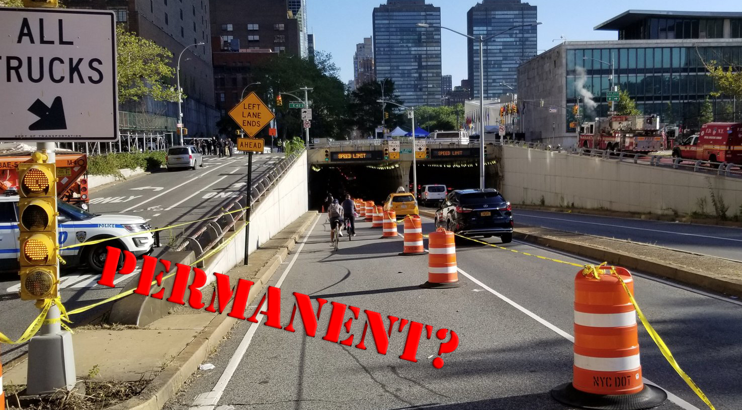
Eyes On The Street: Coastal Resiliency Causes Mess For Pedestrians and Cyclists
Unfortunately for cyclists and pedestrians, this situation won't be fixed until "at least 2026.”
State Pols Still Haven’t Spent Millions Alloted for Transit as Congestion Pricing Looms
There's like $45 million sitting there — unspent — for outer borough transit improvements. What are state pols waiting for?

Supporters, Mayor Rally for ‘City of Yes’ Zoning Change as it Enters Public Review Phase
The mayor's signature zoning plan is ready for review by all 59 community board, plus the city's five borough presidents and then each Council member. Advocates are worried it will be watered down.

‘Buy, Bully, Bamboozle’: Report Alleges App Companies Threaten Democracy
App delivery companies seek to block worker-led improvements by spending big money on political influence, leveraging their data, and even co-opting progressive language, argues a new report that lands days before a national one-day strike by app-workers.